4206 Walnut St Port Allen, LA 70767
West Baton Rouge Parish NeighborhoodEstimated Value: $174,000 - $188,174
--
Bed
--
Bath
1,600
Sq Ft
$113/Sq Ft
Est. Value
About This Home
This home is located at 4206 Walnut St, Port Allen, LA 70767 and is currently estimated at $180,794, approximately $112 per square foot. 4206 Walnut St is a home located in West Baton Rouge Parish with nearby schools including Caneview K-8 School, Chamberlin Elementary School, and Devall Middle School.
Ownership History
Date
Name
Owned For
Owner Type
Purchase Details
Closed on
Sep 26, 2006
Sold by
Moses Mark A and Moses Patti Harding
Bought by
Landry Roland Andrew and Hoffman Kayci Jo
Current Estimated Value
Home Financials for this Owner
Home Financials are based on the most recent Mortgage that was taken out on this home.
Original Mortgage
$79,968
Outstanding Balance
$47,666
Interest Rate
6.44%
Mortgage Type
New Conventional
Estimated Equity
$133,128
Create a Home Valuation Report for This Property
The Home Valuation Report is an in-depth analysis detailing your home's value as well as a comparison with similar homes in the area
Home Values in the Area
Average Home Value in this Area
Purchase History
| Date | Buyer | Sale Price | Title Company |
|---|---|---|---|
| Landry Roland Andrew | $99,960 | Prestige Title Inc |
Source: Public Records
Mortgage History
| Date | Status | Borrower | Loan Amount |
|---|---|---|---|
| Open | Landry Roland Andrew | $79,968 |
Source: Public Records
Tax History Compared to Growth
Tax History
| Year | Tax Paid | Tax Assessment Tax Assessment Total Assessment is a certain percentage of the fair market value that is determined by local assessors to be the total taxable value of land and additions on the property. | Land | Improvement |
|---|---|---|---|---|
| 2024 | $746 | $15,200 | $2,520 | $12,680 |
| 2023 | $550 | $12,800 | $2,030 | $10,770 |
| 2022 | $1,343 | $12,800 | $2,030 | $10,770 |
| 2021 | $1,373 | $12,800 | $2,030 | $10,770 |
| 2020 | $1,248 | $3,660 | $1,830 | $1,830 |
| 2019 | $1,229 | $3,160 | $1,580 | $1,580 |
| 2018 | $1,251 | $10,890 | $1,580 | $9,310 |
| 2017 | $1,155 | $10,890 | $1,580 | $9,310 |
| 2015 | $928 | $10,810 | $1,500 | $9,310 |
| 2014 | $913 | $10,810 | $1,500 | $9,310 |
| 2013 | $913 | $10,810 | $1,500 | $9,310 |
Source: Public Records
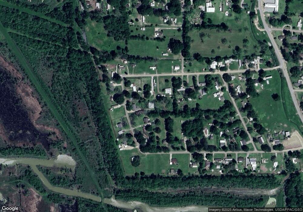
Map
Nearby Homes
- 1053 Poydras Bayou Rd
- 841 Poydras Bayou Rd
- 11837 E Subdivision Rd
- TBD E Subdivision Rd
- TBD E Subdivision Rd
- TBD Highway 190
- 5632 Horner Rd
- 5252 Elm Grove Rd
- 12408 Lorio Dairy Rd
- 10082 Swanson Ln
- 6255 Rougon Rd
- 6229 Rougon Rd
- 0 Jack Torres Rd
- 1093 Poydras Bayou Dr
- 1096 Wilkinson Ln
- 3638 Oakland Rd Unit 6
- 11628 Rosedale Rd
- 11744 Bayou Tommy Ln
- 11364 Rosedale Rd
- 3500 Oakland Rd