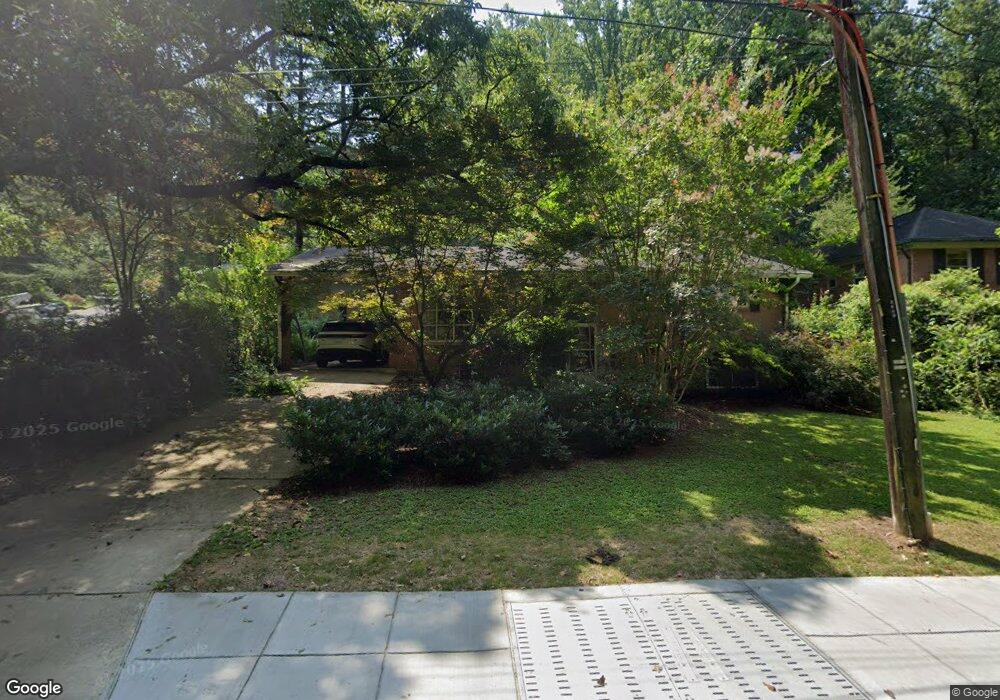
4207 Blagden Ave NW Washington, DC 20011
Crestwood NeighborhoodEstimated Value: $945,000 - $1,271,000
3
Beds
3
Baths
1,344
Sq Ft
$839/Sq Ft
Est. Value
About This Home
This home is located at 4207 Blagden Ave NW, Washington, DC 20011 and is currently estimated at $1,127,625, approximately $839 per square foot. 4207 Blagden Ave NW is a home located in District of Columbia with nearby schools including Powell Elementary School, MacFarland Middle School, and Roosevelt High School @ MacFarland.
Ownership History
Date
Name
Owned For
Owner Type
Purchase Details
Closed on
May 23, 2014
Sold by
Banks Pers Rep Terry M
Bought by
Amos Lauren B
Current Estimated Value
Home Financials for this Owner
Home Financials are based on the most recent Mortgage that was taken out on this home.
Original Mortgage
$525,000
Outstanding Balance
$398,948
Interest Rate
4.33%
Mortgage Type
New Conventional
Estimated Equity
$728,677
Purchase Details
Closed on
Jul 25, 1996
Sold by
Sandeman Roberta D
Bought by
3232 P Street Llc
Home Financials for this Owner
Home Financials are based on the most recent Mortgage that was taken out on this home.
Original Mortgage
$400,000
Interest Rate
8.37%
Create a Home Valuation Report for This Property
The Home Valuation Report is an in-depth analysis detailing your home's value as well as a comparison with similar homes in the area
Home Values in the Area
Average Home Value in this Area
Purchase History
| Date | Buyer | Sale Price | Title Company |
|---|---|---|---|
| Amos Lauren B | $675,000 | -- | |
| 3232 P Street Llc | $515,000 | -- |
Source: Public Records
Mortgage History
| Date | Status | Borrower | Loan Amount |
|---|---|---|---|
| Open | Amos Lauren B | $525,000 | |
| Previous Owner | 3232 P Street Llc | $400,000 | |
| Closed | 3232 P Street Llc | $138,250 |
Source: Public Records
Tax History Compared to Growth
Tax History
| Year | Tax Paid | Tax Assessment Tax Assessment Total Assessment is a certain percentage of the fair market value that is determined by local assessors to be the total taxable value of land and additions on the property. | Land | Improvement |
|---|---|---|---|---|
| 2024 | $8,574 | $1,008,690 | $583,590 | $425,100 |
| 2023 | $8,097 | $952,570 | $553,980 | $398,590 |
| 2022 | $7,358 | $865,610 | $507,090 | $358,520 |
| 2021 | $7,197 | $846,700 | $499,580 | $347,120 |
| 2020 | $6,905 | $812,340 | $467,010 | $345,330 |
| 2019 | $6,791 | $798,920 | $454,420 | $344,500 |
| 2018 | $6,461 | $760,140 | $0 | $0 |
| 2017 | $6,137 | $721,960 | $0 | $0 |
| 2016 | $5,928 | $697,370 | $0 | $0 |
| 2015 | $5,735 | $674,650 | $0 | $0 |
| 2014 | $2,387 | $631,890 | $0 | $0 |
Source: Public Records
Map
Nearby Homes
- 4218 Blagden Ave NW
- 2055 Trumbull Terrace NW
- 4358 Argyle Terrace NW
- 1755 Upshur St NW
- 1724 Varnum St NW
- 4601 Blagden Ave NW
- 1739 Shepherd St NW
- 1724 Taylor St NW
- 4606 Blagden Terrace NW
- 4613 Colorado Ave NW
- 5906 17th St NW
- 4628 Blagden Terrace NW
- 4016 Linnean Ave NW
- 1610 Crittenden St NW
- 4600 16th St NW
- 2325 Porter St NW
- 3524 Williamsburg Ln NW
- 4101 Arkansas Ave NW Unit B
- 1419 Upshur St NW Unit 1
- 1829 Monroe St NW
- 4242 Mathewson Dr NW
- 4201 Blagden Ave NW
- 4236 Mathewson Dr NW
- 2029 Trumbull Terrace NW
- 4209 Blagden Ave NW
- 2027 Trumbull Terrace NW
- 4245 Mathewson Dr NW
- 4230 Mathewson Dr NW
- 4220 Blagden Ave NW
- 4241 Mathewson Dr NW
- 4224 Blagden Ave NW
- 4225 Colorado Ave NW
- 4223 Blagden Ave NW
- 2035 Trumbull Terrace NW
- 4226 Mathewson Dr NW
- 2025 Trumbull Terrace NW
- 4235 Mathewson Dr NW
- 4228 Blagden Ave NW
- 4227 Blagden Ave NW
- 4231 Mathewson Dr NW