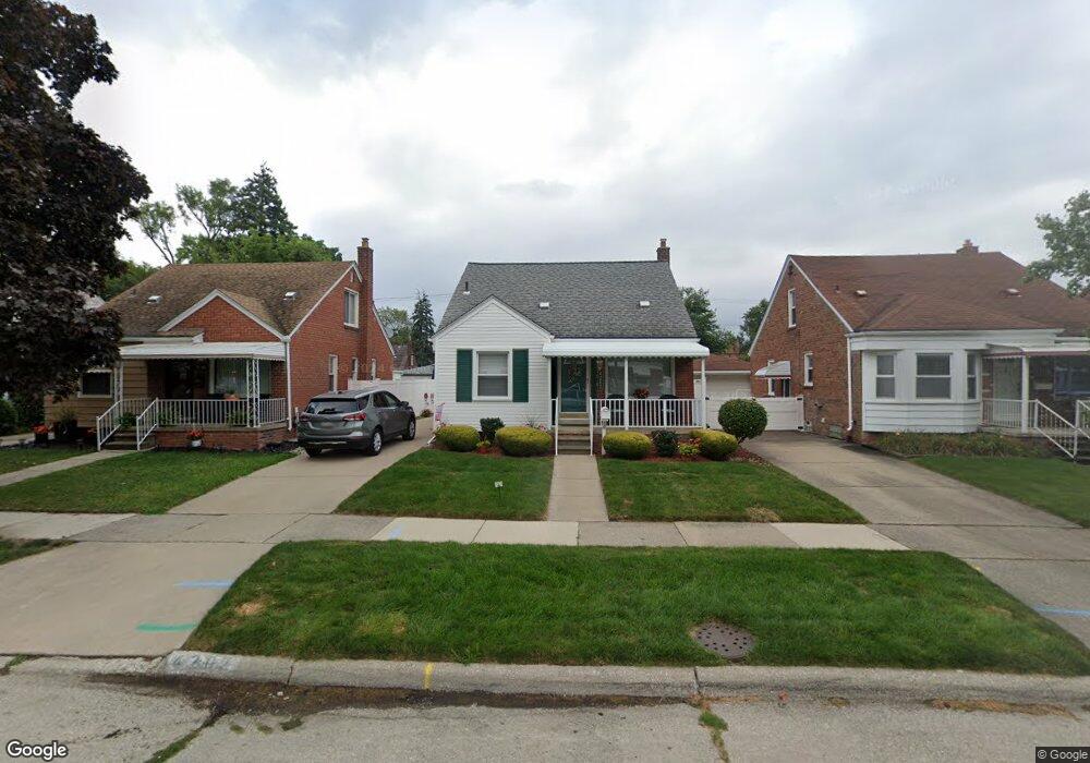
4207 High St Lincoln Park, MI 48146
Estimated Value: $157,001 - $175,000
--
Bed
--
Bath
1,248
Sq Ft
$132/Sq Ft
Est. Value
About This Home
This home is located at 4207 High St, Lincoln Park, MI 48146 and is currently estimated at $164,250, approximately $131 per square foot. 4207 High St is a home located in Wayne County with nearby schools including Hoover School, Lincoln Park Middle School, and Lincoln Park High School.
Ownership History
Date
Name
Owned For
Owner Type
Purchase Details
Closed on
Jun 19, 2019
Sold by
Rae Lynette A and Rae Lynette A
Bought by
Rae Lynette A and Lynette A Rae Revocable Living
Current Estimated Value
Purchase Details
Closed on
Jan 14, 2015
Sold by
Rae Michael G and Rae Lynette A
Bought by
Rae Michael G and Rae Lynette A
Purchase Details
Closed on
May 20, 2013
Sold by
Rae Michael G
Bought by
Rae Michael G and Rae Lynnete A
Purchase Details
Closed on
Mar 3, 2010
Sold by
Rae Michael G and Rae Lynette A
Bought by
Rae Michael G and Michael G Rae Revocable Living Trust
Create a Home Valuation Report for This Property
The Home Valuation Report is an in-depth analysis detailing your home's value as well as a comparison with similar homes in the area
Home Values in the Area
Average Home Value in this Area
Purchase History
| Date | Buyer | Sale Price | Title Company |
|---|---|---|---|
| Rae Lynette A | -- | None Available | |
| Rae Michael G | -- | None Available | |
| Rae Michael G | -- | None Available | |
| Rae Michael G | -- | None Available |
Source: Public Records
Tax History Compared to Growth
Tax History
| Year | Tax Paid | Tax Assessment Tax Assessment Total Assessment is a certain percentage of the fair market value that is determined by local assessors to be the total taxable value of land and additions on the property. | Land | Improvement |
|---|---|---|---|---|
| 2025 | $1,700 | $78,300 | $0 | $0 |
| 2024 | $1,700 | $71,900 | $0 | $0 |
| 2023 | $1,611 | $68,100 | $0 | $0 |
| 2022 | $1,903 | $60,000 | $0 | $0 |
| 2021 | $1,862 | $46,100 | $0 | $0 |
| 2020 | $1,849 | $38,600 | $0 | $0 |
| 2019 | $1,460 | $39,700 | $0 | $0 |
| 2018 | $1,315 | $33,800 | $0 | $0 |
| 2017 | $955 | $33,900 | $0 | $0 |
| 2016 | $1,696 | $32,600 | $0 | $0 |
| 2015 | $3,140 | $31,400 | $0 | $0 |
| 2013 | $3,230 | $33,000 | $0 | $0 |
| 2012 | $1,998 | $34,600 | $5,700 | $28,900 |
Source: Public Records
Map
Nearby Homes
- 1568 Brest Ave
- 13357 Brest St
- 13105 Oakdale St
- 12945 Brest St
- 13487 Brest St
- 4095 Brouseville Ave
- 1611 Goddard Rd
- 4123 Lafayette Blvd
- 4194 Drouillard St
- 13296 Rosedale St
- 4166 Porter Ave
- 4227 Coolidge Ave
- 1505 Ford Blvd
- 1125 Harrison Blvd
- 13631 Rosedale St
- 1683 Leblanc St
- 1835 Ford Blvd
- 13249 Edison St
- 1610 Michigan Blvd
- 1690 Michigan Blvd