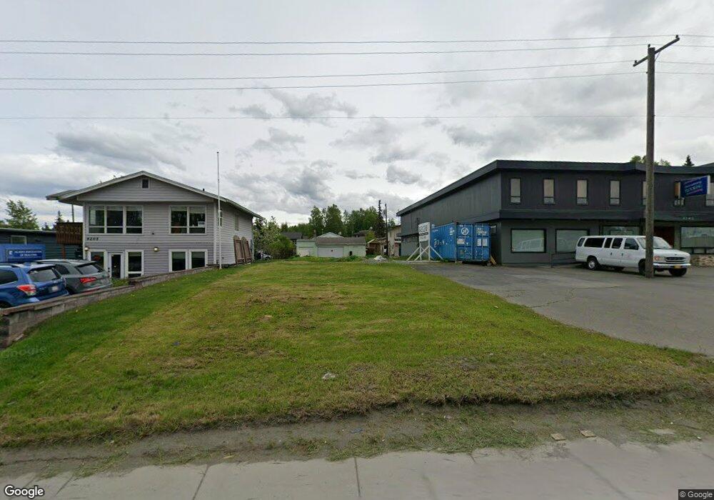
4207 Minnesota Dr Anchorage, AK 99503
Spenard NeighborhoodEstimated Value: $582,000
3
Beds
1
Bath
1,150
Sq Ft
$506/Sq Ft
Est. Value
About This Home
This home is located at 4207 Minnesota Dr, Anchorage, AK 99503 and is currently estimated at $582,000, approximately $506 per square foot. 4207 Minnesota Dr is a home located in Anchorage Municipality with nearby schools including Willow Crest Elementary School, Romig Middle School, and West High School.
Ownership History
Date
Name
Owned For
Owner Type
Purchase Details
Closed on
Mar 30, 2018
Sold by
Alaska Assoc Realtors and Alaska Assoc Realtors Inc
Bought by
Nakamoto Wesley
Current Estimated Value
Home Financials for this Owner
Home Financials are based on the most recent Mortgage that was taken out on this home.
Original Mortgage
$119,000
Outstanding Balance
$102,338
Interest Rate
4.44%
Estimated Equity
$479,662
Purchase Details
Closed on
Oct 12, 2006
Sold by
Fonger Max F
Bought by
Alaska Assn Of Realtors
Create a Home Valuation Report for This Property
The Home Valuation Report is an in-depth analysis detailing your home's value as well as a comparison with similar homes in the area
Home Values in the Area
Average Home Value in this Area
Purchase History
| Date | Buyer | Sale Price | Title Company |
|---|---|---|---|
| Nakamoto Wesley | -- | -- | |
| Alaska Assn Of Realtors | -- | First American Title Ins Co |
Source: Public Records
Mortgage History
| Date | Status | Borrower | Loan Amount |
|---|---|---|---|
| Open | Nakamoto Wesley | $119,000 | |
| Closed | Nakamoto Wesley | -- |
Source: Public Records
Tax History Compared to Growth
Tax History
| Year | Tax Paid | Tax Assessment Tax Assessment Total Assessment is a certain percentage of the fair market value that is determined by local assessors to be the total taxable value of land and additions on the property. | Land | Improvement |
|---|---|---|---|---|
| 2025 | $2,564 | $158,800 | $158,800 | -- |
| 2024 | $2,564 | $158,800 | $158,800 | $0 |
| 2023 | $2,862 | $158,800 | $158,800 | $0 |
| 2022 | $2,553 | $151,600 | $151,600 | $0 |
| 2021 | $2,732 | $151,600 | $151,600 | $0 |
| 2020 | $2,525 | $148,500 | $148,500 | $0 |
| 2019 | $2,382 | $145,600 | $145,600 | $0 |
| 2018 | $4,146 | $252,800 | $145,600 | $107,200 |
| 2017 | $4,054 | $258,900 | $145,600 | $113,300 |
| 2016 | $3,801 | $253,000 | $145,600 | $107,400 |
| 2015 | $3,801 | $262,500 | $145,600 | $116,900 |
| 2014 | $3,801 | $252,300 | $145,600 | $106,700 |
Source: Public Records
Map
Nearby Homes
- 4300 Hayes St
- 4209 Hayes St
- 4309 Garfield St
- 3901 Hayes St
- 3729 Mccain Loop
- 3731 Mccain Loop
- 1806 Cleveland Ave
- 1808 Cleveland Ave
- 4309 Wilson St
- 2040 Wenmatt Cir
- 2105 Mckinley Ave
- 2202 Lincoln Ave
- 1808 W 47th Ave
- 4113 Cope St
- 4106 N Star St
- 1110 Chugach Way
- 2101 W 47th Ave
- 3605 Oregon Dr Unit 7
- 3605 Oregon Dr Unit 4
- 3507 Greenland Dr
- 4205 Minnesota Dr
- 4263 Minnesota Dr
- 4203 Minnesota Dr
- 4201 Minnesota Dr
- 4201 Minnesota Dr Unit 4203
- 4206 Hayes St
- 4204 Hayes St
- 4208 Hayes St
- 4202 Hayes St
- 1500 W 42nd Ave
- 1503 W 43rd Ave
- 1700 Roosevelt Dr
- 4207 Hayes St
- 4207 Hayes St Unit A
- 4111 Minnesota Dr Unit 102
- 4111 Minnesota Dr Unit 100
- 4111 Minnesota Dr
- 4205 Greenland Dr
- 4203 Greenland Dr
- 4302 Hayes St