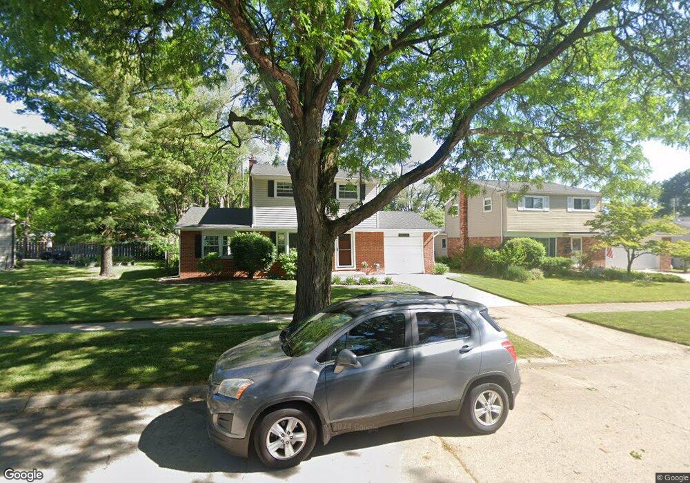
42070 Lindsay Dr Plymouth, MI 48170
Estimated Value: $327,000 - $386,000
--
Bed
2
Baths
1,304
Sq Ft
$276/Sq Ft
Est. Value
About This Home
This home is located at 42070 Lindsay Dr, Plymouth, MI 48170 and is currently estimated at $360,460, approximately $276 per square foot. 42070 Lindsay Dr is a home located in Wayne County with nearby schools including Canton High School, Farrand Elementary School, and East Middle School.
Ownership History
Date
Name
Owned For
Owner Type
Purchase Details
Closed on
Jul 14, 2004
Sold by
Prudential Relocation Inc
Bought by
Craig Rosanne
Current Estimated Value
Purchase Details
Closed on
Jul 3, 2004
Sold by
Salas Robert F and Salas Gretchen A
Bought by
Prudential Relocation Inc and Citicapital Relocation Inc
Purchase Details
Closed on
May 26, 1994
Sold by
Stephen E Sadlocha
Bought by
Stephen E Sadlocha
Home Financials for this Owner
Home Financials are based on the most recent Mortgage that was taken out on this home.
Original Mortgage
$99,000
Interest Rate
8.58%
Mortgage Type
New Conventional
Create a Home Valuation Report for This Property
The Home Valuation Report is an in-depth analysis detailing your home's value as well as a comparison with similar homes in the area
Home Values in the Area
Average Home Value in this Area
Purchase History
| Date | Buyer | Sale Price | Title Company |
|---|---|---|---|
| Craig Rosanne | $205,000 | First American Title | |
| Prudential Relocation Inc | $205,000 | First American Title | |
| Stephen E Sadlocha | $110,000 | -- |
Source: Public Records
Mortgage History
| Date | Status | Borrower | Loan Amount |
|---|---|---|---|
| Previous Owner | Stephen E Sadlocha | $99,000 |
Source: Public Records
Tax History Compared to Growth
Tax History
| Year | Tax Paid | Tax Assessment Tax Assessment Total Assessment is a certain percentage of the fair market value that is determined by local assessors to be the total taxable value of land and additions on the property. | Land | Improvement |
|---|---|---|---|---|
| 2025 | $2,290 | $179,500 | $0 | $0 |
| 2024 | $2,290 | $168,100 | $0 | $0 |
| 2023 | $2,182 | $127,900 | $0 | $0 |
| 2022 | $2,901 | $120,500 | $0 | $0 |
| 2021 | $2,815 | $118,100 | $0 | $0 |
| 2019 | $2,730 | $108,090 | $0 | $0 |
| 2018 | $1,868 | $105,990 | $0 | $0 |
| 2017 | $1,304 | $37,200 | $0 | $0 |
| 2016 | $2,668 | $100,100 | $0 | $0 |
| 2015 | $7,820 | $85,880 | $0 | $0 |
| 2013 | $7,576 | $78,050 | $0 | $0 |
| 2012 | -- | $74,400 | $34,880 | $39,520 |
Source: Public Records
Map
Nearby Homes
- 221 Pinewood Cir Unit 25
- 41840 E Ann Arbor Trail
- 256 Maple St
- 278 Maple St
- 302 N Sydney Ct
- 320 N Sydney Ct
- Sumter Plan at Townes at Mill Street North
- Trenton Plan at Townes at Mill Street North
- 132 S Mill St
- 333 N Sydney Ct
- 364 N Sydney Ct
- 396 N Sydney Ct
- 303 N Sydney Ct
- 372 N Sydney Ct
- 327 N Sydney Ct
- 334 N Sydney Ct
- 335 N Sydney Ct
- 358 N Sydney Ct
- 346 N Sydney Ct
- 381 Hamilton St
- 42056 Lindsay Dr
- 595 Lindsay Dr
- 42040 Lindsay Dr
- 525 Lindsay Dr
- 42129 Riveroaks Dr
- 485 Lindsay Dr
- 42115 Riveroaks Dr
- 42026 Lindsay Dr
- 42037 Riveroaks Dr
- 42071 Lindsay Dr
- 340 Lindsay Dr
- 455 Lindsay Dr
- 42023 Riveroaks Dr
- 300 Lindsay Dr
- 42057 Lindsay Dr
- 42041 Lindsay Dr
- 540 Lindsay Dr
- 11823 Riverside Dr
- 570 Lindsay Dr
- 11809 Riverside Dr