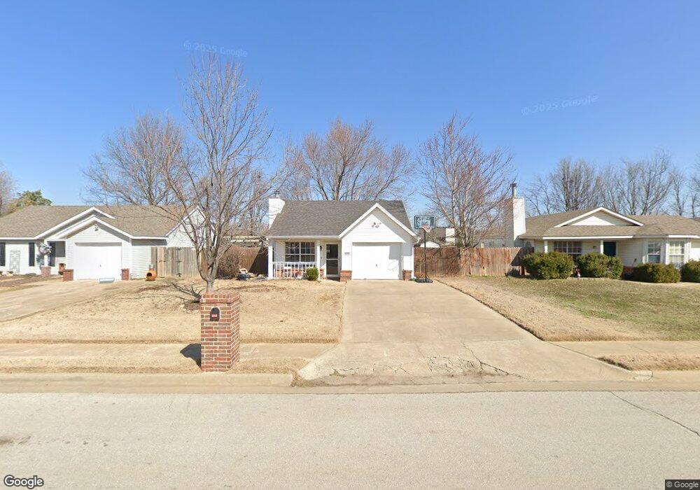
4208 Backus Ave Springdale, AR 72762
Estimated Value: $220,000 - $240,000
2
Beds
2
Baths
1,014
Sq Ft
$227/Sq Ft
Est. Value
About This Home
This home is located at 4208 Backus Ave, Springdale, AR 72762 and is currently estimated at $229,891, approximately $226 per square foot. 4208 Backus Ave is a home located in Washington County with nearby schools including Thurman G. Smith Elementary School, Central Junior High School, and Hellstern Middle School.
Ownership History
Date
Name
Owned For
Owner Type
Purchase Details
Closed on
Jul 6, 2020
Sold by
Noland Veral D and Noland Kristi Leigh
Bought by
Cypress Investments Llc
Current Estimated Value
Purchase Details
Closed on
Jun 19, 1995
Bought by
Henderson Ryan and Daniels Kela
Purchase Details
Closed on
Mar 17, 1995
Bought by
Brandon Marquess Properties
Purchase Details
Closed on
Jan 1, 1993
Bought by
Gary Brandon Enterprises, Inc.
Create a Home Valuation Report for This Property
The Home Valuation Report is an in-depth analysis detailing your home's value as well as a comparison with similar homes in the area
Purchase History
| Date | Buyer | Sale Price | Title Company |
|---|---|---|---|
| Cypress Investments Llc | $125,000 | City Title & Closing Llc | |
| Henderson Ryan | $59,000 | -- | |
| Brandon Marquess Properties | $130,000 | -- | |
| Gary Brandon Enterprises, Inc. | -- | -- |
Source: Public Records
Tax History
| Year | Tax Paid | Tax Assessment Tax Assessment Total Assessment is a certain percentage of the fair market value that is determined by local assessors to be the total taxable value of land and additions on the property. | Land | Improvement |
|---|---|---|---|---|
| 2025 | $1,500 | $35,520 | $12,600 | $22,920 |
| 2024 | $1,385 | $35,520 | $12,600 | $22,920 |
| 2023 | $1,294 | $35,520 | $12,600 | $22,920 |
| 2022 | $1,176 | $22,320 | $6,000 | $16,320 |
| 2021 | $1,176 | $22,320 | $6,000 | $16,320 |
| 2020 | $520 | $22,320 | $6,000 | $16,320 |
| 2019 | $477 | $16,170 | $5,400 | $10,770 |
| 2018 | $502 | $16,170 | $5,400 | $10,770 |
| 2017 | $494 | $16,170 | $5,400 | $10,770 |
| 2016 | $468 | $16,170 | $5,400 | $10,770 |
| 2015 | $431 | $16,170 | $5,400 | $10,770 |
| 2014 | $390 | $14,180 | $5,400 | $8,780 |
Source: Public Records
Map
Nearby Homes
- 4077 Glenstone Terrace Unit E
- 1491 Seneca St
- 3604 Harvo Cir
- 1101 Karena St
- 718 N 40th St
- 1004 Daline St
- 805 Andy St
- 3208 Martin Dr
- 0.78 AC 528 N 40th St
- 605 Betty St
- 3301 Martin Dr
- 1107 White Rd
- 5085 Elm Springs Rd
- 548 Westford St
- 1826 Amelia Ln
- 8.76 AC Elm Springs Oak Grove Rd
- 3776 Colburn Ln
- 5119 Elm Springs Rd
- 524 Westford St
- 659 Westbury St
- 4226 Backus Ave
- 4190 Backus Ave
- 4172 Backus Ave
- 4242 Backus Ave
- 4207 Brighten Ave
- 4183 Brighten Ave
- 4231 Brighten Ave
- 4260 Backus Ave
- 4260 Backus Ave Unit 4260 & 4278
- 4154 Backus Ave
- 4161 Brighten Ave
- 4211 Backus Ave
- 4193 Backus Ave
- 4255 Brighten Ave
- 4229 Backus Ave
- 4177 Backus Ave
- 4278 Backus Ave
- 4138 Backus Ave
- 4137 Brighten Ave
- 4159 Backus Ave
Your Personal Tour Guide
Ask me questions while you tour the home.