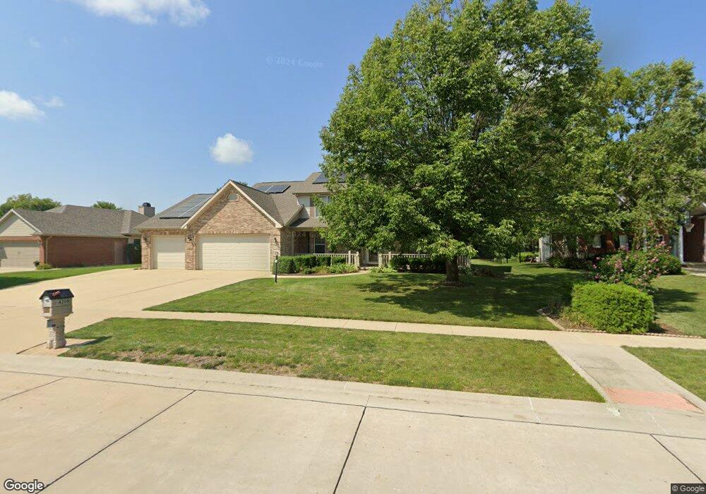
4208 Curtis Meadow Dr Champaign, IL 61822
Estimated Value: $567,000 - $635,000
--
Bed
--
Bath
--
Sq Ft
0.36
Acres
About This Home
This home is located at 4208 Curtis Meadow Dr, Champaign, IL 61822 and is currently estimated at $595,245. 4208 Curtis Meadow Dr is a home located in Champaign County with nearby schools including Centennial High School, Countryside School, and Swann Special Care Center-Elem/Secondary School.
Ownership History
Date
Name
Owned For
Owner Type
Purchase Details
Closed on
Dec 17, 2018
Sold by
Sutter Michael J and Sutter Daughn K
Bought by
Sutter Michael J and Sutter Daughn K
Current Estimated Value
Create a Home Valuation Report for This Property
The Home Valuation Report is an in-depth analysis detailing your home's value as well as a comparison with similar homes in the area
Home Values in the Area
Average Home Value in this Area
Purchase History
| Date | Buyer | Sale Price | Title Company |
|---|---|---|---|
| Sutter Michael J | -- | Attorney |
Source: Public Records
Tax History Compared to Growth
Tax History
| Year | Tax Paid | Tax Assessment Tax Assessment Total Assessment is a certain percentage of the fair market value that is determined by local assessors to be the total taxable value of land and additions on the property. | Land | Improvement |
|---|---|---|---|---|
| 2024 | $12,482 | $160,060 | $34,310 | $125,750 |
| 2023 | $12,482 | $147,790 | $31,680 | $116,110 |
| 2022 | $11,829 | $137,860 | $29,550 | $108,310 |
| 2021 | $11,540 | $135,420 | $29,030 | $106,390 |
| 2020 | $11,428 | $134,080 | $28,740 | $105,340 |
| 2019 | $11,080 | $131,840 | $28,260 | $103,580 |
| 2018 | $11,062 | $131,840 | $28,260 | $103,580 |
| 2017 | $10,828 | $129,150 | $28,260 | $100,890 |
| 2016 | $10,419 | $135,040 | $28,260 | $106,780 |
| 2015 | $10,677 | $135,040 | $28,260 | $106,780 |
| 2014 | $11,023 | $135,040 | $28,260 | $106,780 |
| 2013 | $9,593 | $119,290 | $28,260 | $91,030 |
Source: Public Records
Map
Nearby Homes
- 4005 Pinecrest Dr
- 1806 Bentbrook Dr
- 4406 Crossgate Dr
- 1904 Mullikin Dr
- 4703 W Kirby Ave
- 4700 Chestnut Grove Dr
- 4304 Creston Dr
- 1504 Wyndemere Point Dr
- 1103 Prestwick Point
- 4708 Horse Creek Dr
- 4002 Lakepoint Rd
- 2004 Emerald Dr
- 4309 Stonebridge Ct
- 1621 English Oak Dr
- 2202 Strand Dr
- 1503 English Oak Dr
- 3907 Aberdeen Dr
- 5006 Chestnut Grove Dr
- 4712 Watermark Dr
- 1012 Waters Edge Rd
- 4206 Curtis Meadow Dr
- 4304 Curtis Meadow Dr
- 4204 Curtis Meadow Dr
- 4205 Curtis Meadow Dr
- 4306 Curtis Meadow Dr
- 4202 Curtis Meadow Dr
- 4303 Curtis Meadow Dr
- 1704 Foxborough Ct
- 1611 S Staley Rd
- 1705 Foxborough Ct
- 4201 Curtis Meadow Dr
- 4308 Curtis Meadow Dr
- 4305 Curtis Meadow Dr
- 1706 Foxborough Ct
- 1801 Foxborough Ct
- 4203 Curtis Meadow Dr
- 4310 Curtis Meadow Dr
- 4307 Curtis Meadow Dr
- 4019 Riverknoll Dr
- 1803 Foxborough Ct