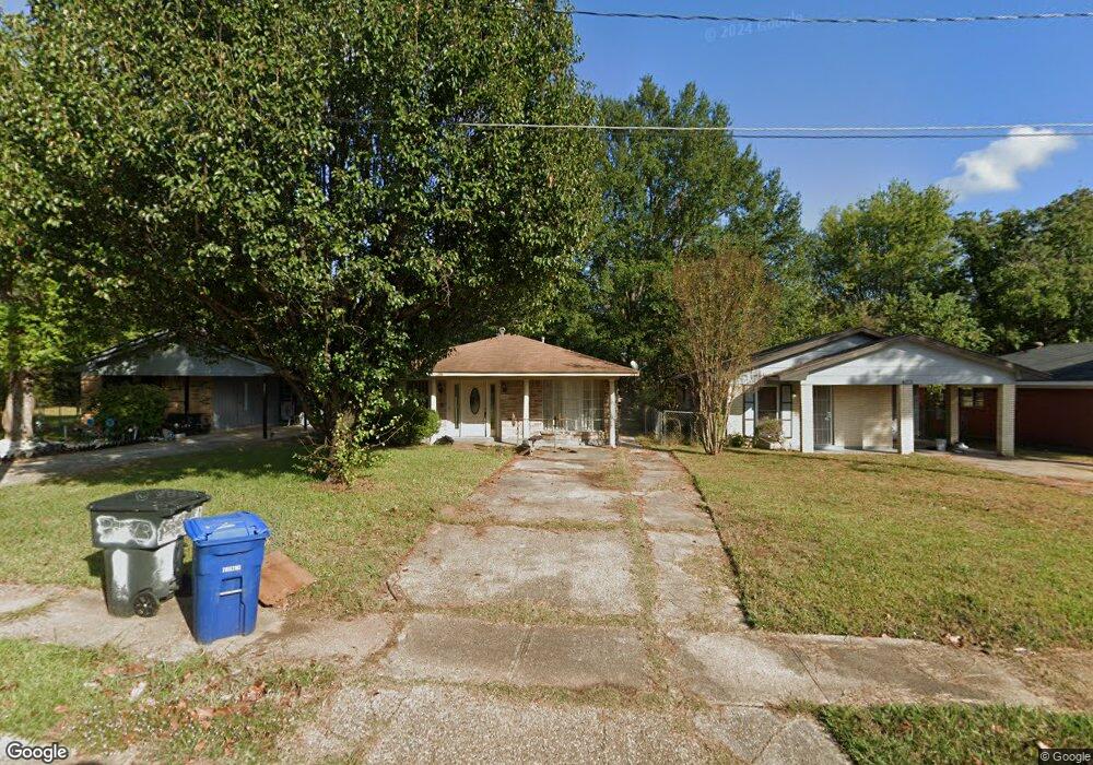
4209 Curtis Ln Shreveport, LA 71109
Mooretown and Hollywood Heights NeighborhoodEstimated Value: $61,599 - $75,000
3
Beds
1
Bath
1,134
Sq Ft
$60/Sq Ft
Est. Value
About This Home
This home is located at 4209 Curtis Ln, Shreveport, LA 71109 and is currently estimated at $67,900, approximately $59 per square foot. 4209 Curtis Ln is a home located in Caddo Parish with nearby schools including Oak Park Elementary School, Judson Fundamental Elementary School, and Fairfield Magnet School.
Ownership History
Date
Name
Owned For
Owner Type
Purchase Details
Closed on
Jul 8, 2025
Sold by
Parish Of Caddo
Bought by
Parish Of Caddo
Current Estimated Value
Purchase Details
Closed on
Jun 12, 2024
Sold by
Parish Of Caddo
Bought by
Birchwood Partners and Union Bank
Purchase Details
Closed on
Feb 6, 2024
Sold by
Martinez Ruben Addison
Bought by
Thomas Billy Terry
Purchase Details
Closed on
Jun 16, 2006
Sold by
Mckeever David West and Mckeever Mellanie Edwards
Bought by
Martinez Ruben Addison
Home Financials for this Owner
Home Financials are based on the most recent Mortgage that was taken out on this home.
Original Mortgage
$78,000
Interest Rate
6.58%
Mortgage Type
Unknown
Create a Home Valuation Report for This Property
The Home Valuation Report is an in-depth analysis detailing your home's value as well as a comparison with similar homes in the area
Home Values in the Area
Average Home Value in this Area
Purchase History
| Date | Buyer | Sale Price | Title Company |
|---|---|---|---|
| Parish Of Caddo | $1,586 | None Listed On Document | |
| Birchwood Partners | $539 | None Listed On Document | |
| Thomas Billy Terry | -- | None Listed On Document | |
| Martinez Ruben Addison | $78,000 | None Available |
Source: Public Records
Mortgage History
| Date | Status | Borrower | Loan Amount |
|---|---|---|---|
| Previous Owner | Martinez Ruben Addison | $78,000 |
Source: Public Records
Tax History Compared to Growth
Tax History
| Year | Tax Paid | Tax Assessment Tax Assessment Total Assessment is a certain percentage of the fair market value that is determined by local assessors to be the total taxable value of land and additions on the property. | Land | Improvement |
|---|---|---|---|---|
| 2024 | $1,301 | $8,345 | $433 | $7,912 |
| 2023 | $1,198 | $7,514 | $412 | $7,102 |
| 2022 | $1,198 | $7,514 | $412 | $7,102 |
| 2021 | $1,179 | $7,514 | $412 | $7,102 |
| 2020 | $1,179 | $7,514 | $412 | $7,102 |
| 2019 | $1,167 | $7,214 | $412 | $6,802 |
| 2018 | $0 | $7,214 | $412 | $6,802 |
| 2017 | $1,185 | $7,214 | $412 | $6,802 |
| 2015 | -- | $7,400 | $410 | $6,990 |
| 2014 | -- | $7,400 | $410 | $6,990 |
| 2013 | -- | $7,400 | $410 | $6,990 |
Source: Public Records
Map
Nearby Homes
- 4513 Rochester Dr
- 4209 Lamar Ave
- 4310 Saint Louis Ave
- 4144 Clover St
- 4302 Illinois Ave
- 4814 Mcdaniel Dr
- 4144 Marston Ave
- 5600 Norton St
- 5222 Broadway Ave
- 4027 Marion Place
- 4710 Erin Ln
- 5717 Fallowmont St
- 4007 Esplanade Ave
- 3 Broadway Ave
- 2 Broadway Ave
- 1 Broadway Ave
- 3841 Flora Ave
- LOT 1 Angel Oaks
- 3735 Tate St
- 3718 Doris St
- 4205 Curtis Ln
- 4213 Curtis Ln
- 4217 Curtis Ln
- 4221 Curtis Ln
- 4910 Daniel Place
- 4914 Daniel Place
- 4225 Curtis Ln
- 4918 Daniel Place
- 4358 Thurgood Cir
- 4906 Daniel Place
- 4906 Daniel Place
- 4229 Curtis Ln
- 4922 Daniel Place
- 4233 Curtis Ln
- 4926 Daniel Place
- 4362 Thurgood Cir
- 4237 Curtis Ln
- 4900 Daniel Place
- 4930 Daniel Place
- 4366 Thurgood Cir