4209 Moore Rd Adrian, MI 49221
Estimated Value: $206,452 - $290,000
3
Beds
1
Bath
1,456
Sq Ft
$172/Sq Ft
Est. Value
About This Home
This home is located at 4209 Moore Rd, Adrian, MI 49221 and is currently estimated at $250,817, approximately $172 per square foot. 4209 Moore Rd is a home located in Lenawee County with nearby schools including Adrian High School.
Ownership History
Date
Name
Owned For
Owner Type
Purchase Details
Closed on
Dec 21, 2005
Sold by
Ruesink Edward W and Ruesink Martha J
Bought by
Ruesink Sarah and Publiski Cole
Current Estimated Value
Home Financials for this Owner
Home Financials are based on the most recent Mortgage that was taken out on this home.
Original Mortgage
$12,800
Outstanding Balance
$7,208
Interest Rate
6.4%
Mortgage Type
Future Advance Clause Open End Mortgage
Estimated Equity
$243,609
Purchase Details
Closed on
Mar 15, 1985
Bought by
Ruesink Douglas and Ruesink Gwenn
Create a Home Valuation Report for This Property
The Home Valuation Report is an in-depth analysis detailing your home's value as well as a comparison with similar homes in the area
Home Values in the Area
Average Home Value in this Area
Purchase History
| Date | Buyer | Sale Price | Title Company |
|---|---|---|---|
| Ruesink Sarah | $12,000 | Prestige Title Commitment | |
| Ruesink Douglas | -- | -- |
Source: Public Records
Mortgage History
| Date | Status | Borrower | Loan Amount |
|---|---|---|---|
| Open | Ruesink Sarah | $12,800 |
Source: Public Records
Tax History
| Year | Tax Paid | Tax Assessment Tax Assessment Total Assessment is a certain percentage of the fair market value that is determined by local assessors to be the total taxable value of land and additions on the property. | Land | Improvement |
|---|---|---|---|---|
| 2025 | $1,645 | $100,400 | $0 | $0 |
| 2024 | $11 | $98,800 | $0 | $0 |
| 2023 | $1,564 | $90,500 | $0 | $0 |
| 2022 | $952 | $83,400 | $0 | $0 |
| 2021 | $1,544 | $76,600 | $0 | $0 |
| 2020 | $1,542 | $70,000 | $0 | $0 |
| 2019 | $143,134 | $59,200 | $0 | $0 |
| 2018 | $1,444 | $59,229 | $0 | $0 |
| 2017 | $1,390 | $58,521 | $0 | $0 |
| 2016 | $1,392 | $58,340 | $0 | $0 |
| 2014 | -- | $58,267 | $0 | $0 |
Source: Public Records
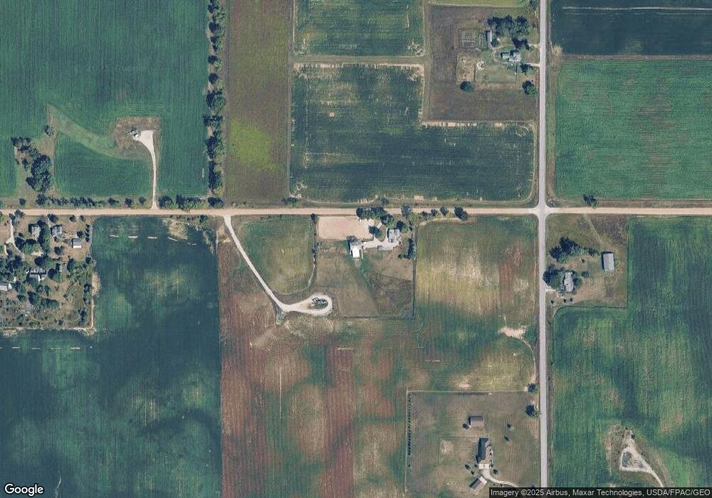
Map
Nearby Homes
- 3238 Northmor Dr W
- 3109 Northmor Dr E
- 4909 Schmitz Ct
- 3917 Spielman Rd
- 4892 Thompson Heights Dr
- 4958 Thompson Heights Dr
- 4823 Thompson Heights Dr
- Lot B Windcrest Ct
- Lot A Windcrest Ct
- 2499 Crestwood Dr
- 1325 Country Club Rd
- 2860 Dawn Dr
- 1100 Country Club Rd Unit 1100 blk Country Clu
- 1018 Saw Mill Ct
- 1016 Saw Mill Ct
- 1007 Saw Mill Ct
- 1014 Saw Mill Ct
- 1005 Saw Mill Ct
- 1012 Saw Mill Ct
- 2658 Spielman Heights Dr
- 3000 Tipton Hwy Unit BLK
- 3902 Tipton Hwy
- 4501 Moore Rd
- 4507 Moore Rd
- 4198 Tipton Hwy
- 3870 Tipton Hwy
- 3870 Tipton Hwy
- 3835 Tipton Hwy
- 3901 Tipton Hwy
- 3600 Tipton Hwy
- 4725 Moore Rd
- 4000 Tipton Woods Dr
- 4054 Tipton Woods Dr
- 4028 Tipton Woods Dr
- 4022 Tipton Woods Dr
- 4020 Tipton Woods Dr
- 4060 Tipton Woods Dr
- 4060 Tipton Woods Dr Unit TIPTONWOODS
- 4082 Tipton Woods Dr
- 4088 Tipton Woods Dr
Your Personal Tour Guide
Ask me questions while you tour the home.