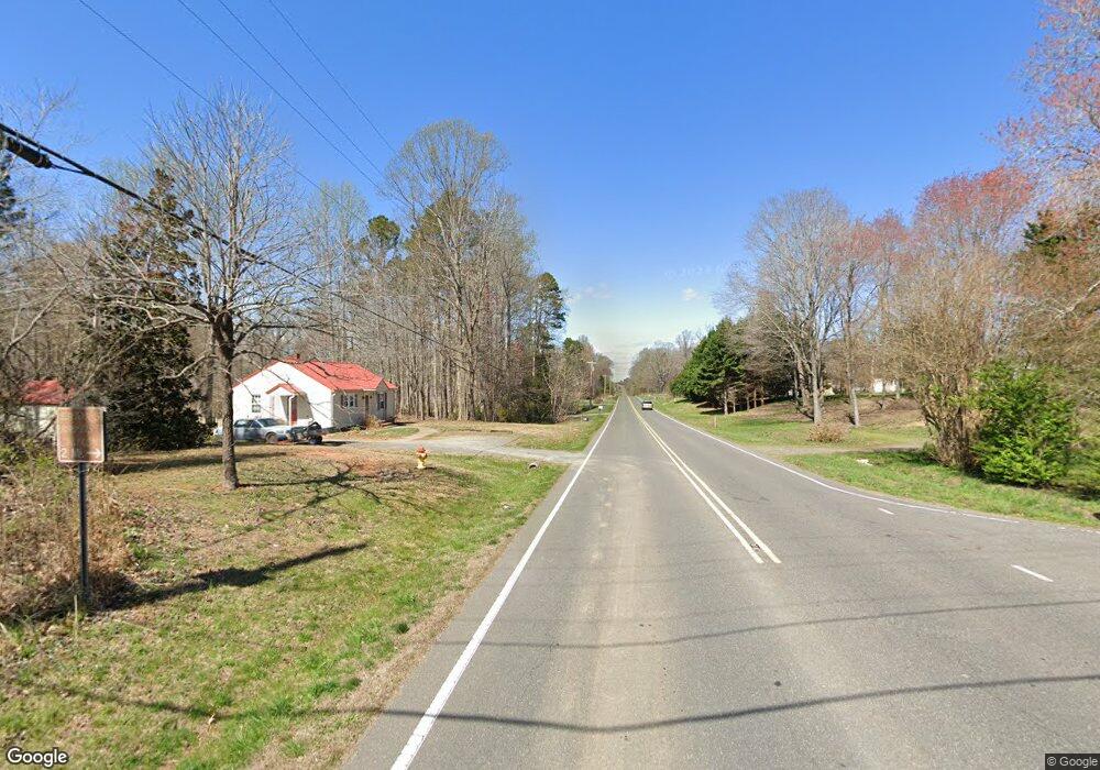
4209 Us Highway 601 N Mocksville, NC 27028
Estimated Value: $243,000 - $496,000
3
Beds
2
Baths
2,128
Sq Ft
$159/Sq Ft
Est. Value
About This Home
This home is located at 4209 Us Highway 601 N, Mocksville, NC 27028 and is currently estimated at $338,667, approximately $159 per square foot. 4209 Us Highway 601 N is a home located in Davie County with nearby schools including William R. Davie Elementary School, North Davie Middle School, and Davie County High School.
Ownership History
Date
Name
Owned For
Owner Type
Purchase Details
Closed on
Jun 2, 2006
Sold by
Baity Daniel T
Bought by
Drennen Kathleen Sharon
Current Estimated Value
Purchase Details
Closed on
Jun 13, 2005
Sold by
Baily Daniel T
Bought by
Drennan Darius W and Drennan Kathleen S
Purchase Details
Closed on
Apr 1, 2000
Create a Home Valuation Report for This Property
The Home Valuation Report is an in-depth analysis detailing your home's value as well as a comparison with similar homes in the area
Home Values in the Area
Average Home Value in this Area
Purchase History
| Date | Buyer | Sale Price | Title Company |
|---|---|---|---|
| Drennen Kathleen Sharon | -- | -- | |
| Drennan Darius W | $35,000 | None Available | |
| -- | -- | -- |
Source: Public Records
Tax History Compared to Growth
Tax History
| Year | Tax Paid | Tax Assessment Tax Assessment Total Assessment is a certain percentage of the fair market value that is determined by local assessors to be the total taxable value of land and additions on the property. | Land | Improvement |
|---|---|---|---|---|
| 2025 | $1,366 | $198,400 | $43,570 | $154,830 |
| 2024 | $975 | $126,150 | $35,220 | $90,930 |
| 2023 | $975 | $126,150 | $35,220 | $90,930 |
| 2022 | $975 | $126,150 | $35,220 | $90,930 |
| 2021 | $975 | $126,150 | $35,220 | $90,930 |
| 2020 | $846 | $108,750 | $35,220 | $73,530 |
| 2019 | $846 | $108,750 | $35,220 | $73,530 |
| 2018 | $846 | $108,750 | $35,220 | $73,530 |
| 2017 | $835 | $108,750 | $0 | $0 |
| 2016 | $1,018 | $132,500 | $0 | $0 |
| 2015 | $1,018 | $132,500 | $0 | $0 |
| 2014 | $875 | $132,500 | $0 | $0 |
| 2013 | -- | $132,500 | $0 | $0 |
Source: Public Records
Map
Nearby Homes
- Knollwood Plan at Providence Place
- Southmont Plan at Providence Place
- Aster Plan at Providence Place
- Ledford Plan at Providence Place
- Abbott Plan at Providence Place
- Cotton Grove Plan at Providence Place
- 155 Cotton Ln
- 5304 U S Highway 601 N
- 4799 Us Highway 601 N
- 228 Meadowlark Ln
- 200 Bramblewood Ln
- 112 Courtney Rd
- 3227 Us Highway 601 N
- 5173 Us Highway 601 N
- 00 Ben Anderson Rd Unit LotWP001
- 000 Ben Anderson Rd
- 1920 Gough Stewart Rd
- 153 Summerlyn Dr
- 118 Arrendal Ct
- 0 Ralph Ratledge Rd
- 4205 Us Highway 601 N
- 4207 Us Highway 601 N
- 4207 Us Highway 601 N
- 00 Whistle Stop Trail
- 382 Speer Rd
- 4255 U S 601
- 4255 Us Highway 601 N
- 4231 Us Highway 601 N
- 4253 Us Highway 601 N
- 4269 Us Highway 601 N
- 4271 Us Highway 601 N
- 217 Greenfield Rd
- 193 Greenfield Rd
- 218 Greenfield Rd
- 181 Greenfield Rd
- 169 Greenfield Rd
- 129 Fostall Dr
- 157 Greenfield Rd
- 145 Greenfield Rd
- 120 Landis Ct
