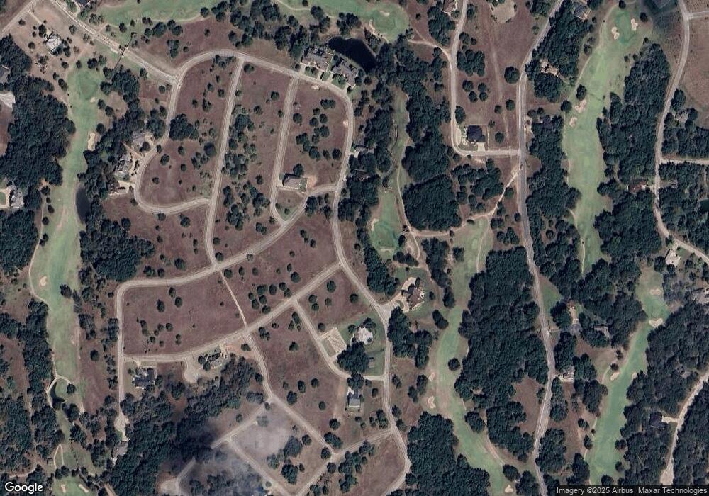
42093 Crooked Stick Dr Whitney, TX 76692
Estimated Value: $202,000
--
Bed
--
Bath
--
Sq Ft
7,841
Sq Ft Lot
About This Home
This home is located at 42093 Crooked Stick Dr, Whitney, TX 76692 and is currently estimated at $202,000. 42093 Crooked Stick Dr is a home located in Hill County with nearby schools including Whitney Elementary School, Whitney Intermediate School, and Whitney Middle School.
Ownership History
Date
Name
Owned For
Owner Type
Purchase Details
Closed on
Jan 27, 2023
Sold by
Double Diamond Inc
Bought by
Flatiron White Bluff Lot Portfolio Llc
Current Estimated Value
Purchase Details
Closed on
Aug 1, 2006
Sold by
Curts Steven Ray and Curts Linda Kay
Bought by
Sherry Hunter T and Sherry Randi L
Home Financials for this Owner
Home Financials are based on the most recent Mortgage that was taken out on this home.
Original Mortgage
$22,950
Interest Rate
6.78%
Mortgage Type
Purchase Money Mortgage
Create a Home Valuation Report for This Property
The Home Valuation Report is an in-depth analysis detailing your home's value as well as a comparison with similar homes in the area
Home Values in the Area
Average Home Value in this Area
Purchase History
| Date | Buyer | Sale Price | Title Company |
|---|---|---|---|
| Flatiron White Bluff Lot Portfolio Llc | -- | Eastland Title | |
| Sherry Hunter T | -- | Micro Title Hill County Llc |
Source: Public Records
Mortgage History
| Date | Status | Borrower | Loan Amount |
|---|---|---|---|
| Previous Owner | Sherry Hunter T | $22,950 |
Source: Public Records
Tax History Compared to Growth
Tax History
| Year | Tax Paid | Tax Assessment Tax Assessment Total Assessment is a certain percentage of the fair market value that is determined by local assessors to be the total taxable value of land and additions on the property. | Land | Improvement |
|---|---|---|---|---|
| 2025 | $424 | $27,670 | $27,670 | $0 |
| 2024 | $424 | $27,670 | $27,670 | $0 |
| 2023 | $575 | $36,900 | $36,900 | $0 |
| 2022 | $657 | $35,150 | $35,150 | $0 |
| 2021 | $747 | $35,150 | $35,150 | $0 |
| 2020 | $780 | $35,150 | $35,150 | $0 |
| 2019 | $723 | $31,100 | $31,100 | $0 |
| 2018 | $729 | $31,410 | $31,410 | $0 |
| 2017 | $740 | $31,590 | $31,590 | $0 |
| 2016 | $783 | $33,440 | $33,440 | $0 |
| 2015 | -- | $26,760 | $26,760 | $0 |
| 2014 | -- | $35,390 | $35,390 | $0 |
Source: Public Records
Map
Nearby Homes
- 42017 Preston Trail
- 42019 Preston Trail
- 42086 Crooked Stick Dr
- 42158 Augusta Dr
- 42097 Crooked Stick Dr
- 42122 Crooked Stick Dr
- 42181 Crooked Stick Dr
- 42251 Prestwick Dr
- 42210 Bay Hill Dr
- 42213 Bay Hill Dr
- 19023 S Bluebonnet Dr
- 7050 Golf Dr
- 42018 Preston Trail
- 7007 Golf Dr
- 7005 Golf Dr
- 15042 Golf Dr
- 15035 Golf Dr
- 15047 Golf Dr
- 15032 Golf Dr
- 7038 Golf Dr
- 42092 Crooked Stick Dr
- 42094 Crooked Stick Dr
- 42091 Crooked Stick Dr
- 42215 Bay Hill Dr & Crooked Stick Dr
- 42215 NE Bay Hill Dr & Crooked Stick Dr
- 42217 Crooked Stick Dr
- 42098 Crooked Stick Dr
- 42228 Cog Hill Dr
- 42089 Crooked Stick Dr
- 42189 Preston Trail
- 42033 Preston Trail
- 42176 Augusta Dr
- 42100 Crooked Stick Dr
- 42157 Preston Trail & Augusta Dr
- 42034 Preston Trail
- 42101 Crooked Stick Dr
- 42229 Cog Hill Dr & Bay Hill Dr
- 42023 Preston Trail
- 42199 Preston Trail
- 42187 Preston Trail
