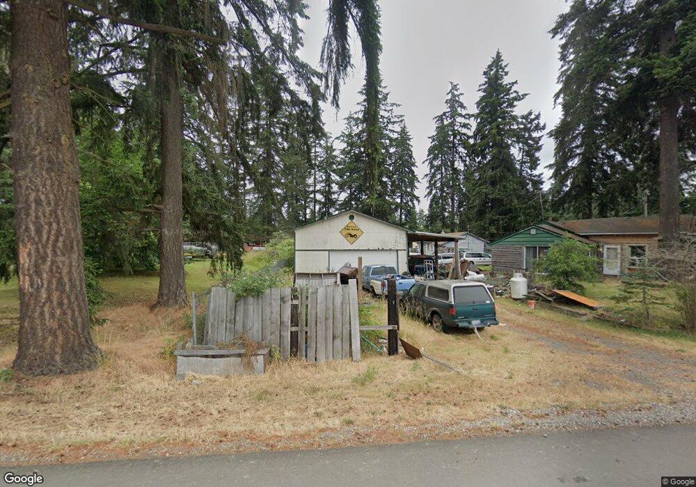
421 196th St E Spanaway, WA 98387
Estimated Value: $442,000 - $514,000
4
Beds
2
Baths
2,316
Sq Ft
$200/Sq Ft
Est. Value
About This Home
This home is located at 421 196th St E, Spanaway, WA 98387 and is currently estimated at $464,030, approximately $200 per square foot. 421 196th St E is a home located in Pierce County with nearby schools including Camas Prairie Elementary School, Cedarcrest Junior High School, and Spanaway Lake High School.
Ownership History
Date
Name
Owned For
Owner Type
Purchase Details
Closed on
Aug 27, 2002
Sold by
Burgin Johnnie C and Burgin Bernadine B
Bought by
Gibbons Michael and Gibbons Elsie
Current Estimated Value
Purchase Details
Closed on
Sep 7, 1995
Sold by
Burgin Johnnie C and Burgin Bernadine B
Bought by
Gibbons Michael and Gibbons Elsie
Home Financials for this Owner
Home Financials are based on the most recent Mortgage that was taken out on this home.
Original Mortgage
$71,911
Interest Rate
7.79%
Mortgage Type
Purchase Money Mortgage
Create a Home Valuation Report for This Property
The Home Valuation Report is an in-depth analysis detailing your home's value as well as a comparison with similar homes in the area
Home Values in the Area
Average Home Value in this Area
Purchase History
| Date | Buyer | Sale Price | Title Company |
|---|---|---|---|
| Gibbons Michael | -- | Chicago Title | |
| Gibbons Michael | $81,000 | -- |
Source: Public Records
Mortgage History
| Date | Status | Borrower | Loan Amount |
|---|---|---|---|
| Previous Owner | Gibbons Michael | $71,911 |
Source: Public Records
Tax History
| Year | Tax Paid | Tax Assessment Tax Assessment Total Assessment is a certain percentage of the fair market value that is determined by local assessors to be the total taxable value of land and additions on the property. | Land | Improvement |
|---|---|---|---|---|
| 2025 | $5,365 | $445,100 | $205,900 | $239,200 |
| 2024 | $5,365 | $454,900 | $199,800 | $255,100 |
| 2023 | $5,365 | $437,200 | $205,900 | $231,300 |
| 2022 | $5,005 | $447,000 | $195,300 | $251,700 |
| 2021 | $4,794 | $325,100 | $128,500 | $196,600 |
| 2019 | $3,578 | $293,900 | $112,000 | $181,900 |
| 2018 | $4,079 | $277,700 | $101,600 | $176,100 |
| 2017 | $3,677 | $250,200 | $89,600 | $160,600 |
| 2016 | $2,988 | $177,300 | $75,600 | $101,700 |
| 2014 | $2,584 | $167,300 | $72,600 | $94,700 |
| 2013 | $2,584 | $150,300 | $62,700 | $87,600 |
Source: Public Records
Map
Nearby Homes
- 511 190th St E
- 1 8th Ave E
- 923 198th Street Ct E
- 2 189th Street Ct E
- 516 189th Street Ct E
- 20412 5th Avenue Ct E
- 20414 2nd Ave E
- 20523 5th Avenue Ct E
- 604 185th Street Ct E Unit 28
- 608 185th Street Ct E Unit 29
- 612 185th Street Ct E Unit 30
- 18512 4th Avenue Ct E Unit 14
- 18508 4th Avenue Ct E Unit 15
- 501 185th Street Ct E Unit 19
- 20615 7th Avenue Ct E
- 454 184th Street Ct E Unit 64
- 604 184th Street Ct E Unit 50
- 18439 7th Avenue Ct E Unit 37
- 1221 201st Street Ct E
- 461 184th Street Ct E Unit 54
- 323 196th St E Unit 325
- 19502 5th Ave E
- 19515 5th Ave E
- 19519 5th Ave E
- 19420 5th Ave E
- 0 196th St E Unit 1005163
- 19507 5th Ave E
- 303 196th St E
- 19412 5th Ave E
- 19410 5th Ave E
- 19421 5th Ave E
- 19416 6th Ave E
- 19609 Ellis Ln
- 19406 5th Ave E
- 19609 Ellis Ln E
- 19404 5th Ave E
- 19612 Ellis Ln
- 19401 5th Ave E
- 19402 6th Ave E
- 19611 Ellis Ln
Your Personal Tour Guide
Ask me questions while you tour the home.