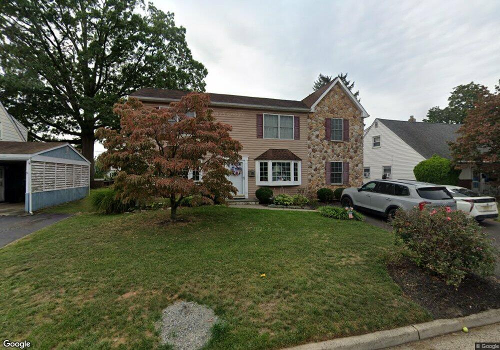
421 Clinton Ave Middlesex, NJ 08846
Estimated Value: $558,000 - $672,000
Studio
--
Bath
--
Sq Ft
6,011
Sq Ft
About This Home
This home is located at 421 Clinton Ave, Middlesex, NJ 08846 and is currently estimated at $612,307. 421 Clinton Ave is a home located in Middlesex County with nearby schools including Middlesex High School and Our Lady of Mount Virgin School.
Ownership History
Date
Name
Owned For
Owner Type
Purchase Details
Closed on
Nov 17, 2016
Sold by
Stockton Mark G
Bought by
Stockton Mark G and Stockton Mary Scot
Current Estimated Value
Home Financials for this Owner
Home Financials are based on the most recent Mortgage that was taken out on this home.
Original Mortgage
$160,000
Outstanding Balance
$131,892
Interest Rate
4.3%
Mortgage Type
Commercial
Estimated Equity
$480,415
Purchase Details
Closed on
Dec 28, 1987
Bought by
Stockton Mark G
Create a Home Valuation Report for This Property
The Home Valuation Report is an in-depth analysis detailing your home's value as well as a comparison with similar homes in the area
Home Values in the Area
Average Home Value in this Area
Purchase History
| Date | Buyer | Sale Price | Title Company |
|---|---|---|---|
| Stockton Mark G | -- | First American Title | |
| Stockton Mark G | $169,000 | -- |
Source: Public Records
Mortgage History
| Date | Status | Borrower | Loan Amount |
|---|---|---|---|
| Open | Stockton Mark G | $160,000 |
Source: Public Records
Tax History
| Year | Tax Paid | Tax Assessment Tax Assessment Total Assessment is a certain percentage of the fair market value that is determined by local assessors to be the total taxable value of land and additions on the property. | Land | Improvement |
|---|---|---|---|---|
| 2025 | $13,014 | $564,600 | $136,600 | $428,000 |
| 2024 | $12,390 | $562,400 | $136,600 | $425,800 |
Source: Public Records
Map
Nearby Homes
- 407 Clinton Ave
- 116 Greene Ave
- 531 Chestnut St
- 241 Cook Ave
- 310 Howard Ave
- 101 Lorraine Ave
- 303 Ashland Rd
- 311 Chestnut St
- 531 Harris Ave
- 216 Chestnut St
- 238 Luca Dr
- 238 Luca Dr Unit 8
- 212 Vesper Ave
- 129 Forest Dr
- 533 Edgeworth St
- 168 Forest Dr
- 107 Forest Dr
- 230 Vasser Dr
- 643 Drake Ave
- 327 Moonlight Dr
- 419 Clinton Ave
- 425 Clinton Ave
- 428 Fairview Ave
- 432 Fairview Ave
- 417 Clinton Ave
- 424 Fairview Ave
- 436 Fairview Ave
- 422 Clinton Ave
- 420 Fairview Ave
- 418 Clinton Ave
- 207 Greenlawn Ave
- 426 Clinton Ave
- 413 Clinton Ave
- 416 Clinton Ave
- 209 Greenlawn Ave
- 430 Clinton Ave
- 416 Fairview Ave
- 444 Fairview Ave
- 412 Clinton Ave
- 434 Clinton Ave
Your Personal Tour Guide
Ask me questions while you tour the home.