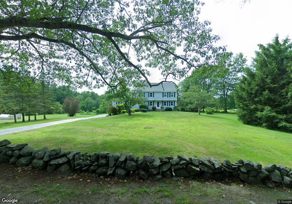
421 Forest St Dunstable, MA 01827
Estimated Value: $763,931 - $881,000
4
Beds
3
Baths
2,760
Sq Ft
$300/Sq Ft
Est. Value
About This Home
This home is located at 421 Forest St, Dunstable, MA 01827 and is currently estimated at $828,733, approximately $300 per square foot. 421 Forest St is a home located in Middlesex County with nearby schools including Groton Dunstable Regional High School and Academy of Notre Dame - Upper School.
Ownership History
Date
Name
Owned For
Owner Type
Purchase Details
Closed on
Nov 17, 2003
Sold by
King Francis R and King Louise
Bought by
King Ft
Current Estimated Value
Create a Home Valuation Report for This Property
The Home Valuation Report is an in-depth analysis detailing your home's value as well as a comparison with similar homes in the area
Home Values in the Area
Average Home Value in this Area
Purchase History
| Date | Buyer | Sale Price | Title Company |
|---|---|---|---|
| King Ft | -- | -- |
Source: Public Records
Tax History
| Year | Tax Paid | Tax Assessment Tax Assessment Total Assessment is a certain percentage of the fair market value that is determined by local assessors to be the total taxable value of land and additions on the property. | Land | Improvement |
|---|---|---|---|---|
| 2025 | $9,507 | $691,400 | $247,000 | $444,400 |
| 2024 | $8,953 | $641,300 | $222,900 | $418,400 |
| 2023 | $8,903 | $594,700 | $222,900 | $371,800 |
| 2022 | $8,266 | $542,000 | $222,900 | $319,100 |
| 2021 | $8,167 | $497,700 | $202,700 | $295,000 |
| 2020 | $8,166 | $484,900 | $202,700 | $282,200 |
| 2019 | $7,974 | $467,400 | $202,700 | $264,700 |
| 2018 | $6,424 | $446,000 | $198,900 | $247,100 |
| 2017 | $7,480 | $439,500 | $198,900 | $240,600 |
| 2016 | $7,098 | $428,900 | $190,700 | $238,200 |
| 2015 | $6,881 | $411,300 | $163,000 | $248,300 |
| 2014 | $6,485 | $411,200 | $163,000 | $248,200 |
Source: Public Records
Map
Nearby Homes
- 0 Lowell St
- 16 Cannongate Rd Unit 16
- 4 Thorndike St
- 160 Westford Rd
- 153 Off Pond St
- 0 Dunstable Rd
- 319 Pleasant St
- 103 Pondview Place Unit 103
- 22 Highland Rd
- 62 Brook St
- 14 Centercrest Dr Unit 14
- 10 Dickens Ln
- 100 Farwell Rd
- 3 Joyce Dr
- 4 Strawberry Bank Rd Unit 12
- 23 Morrison Ln
- 2 Strawberry Bank Rd Unit 17
- 24 Old Tyng Rd
- 56 Frost Rd
- 4 Heritage Village Dr
Your Personal Tour Guide
Ask me questions while you tour the home.