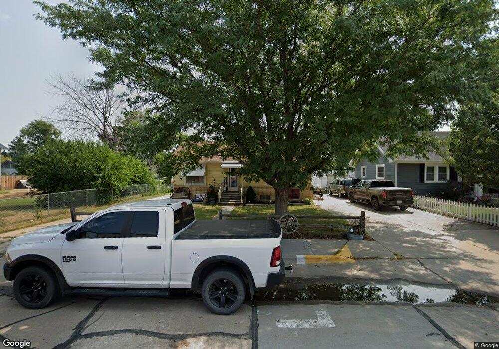
421 Maple St Sutherland, NE 69165
Estimated Value: $131,000 - $210,000
3
Beds
1
Bath
1,818
Sq Ft
$90/Sq Ft
Est. Value
About This Home
This home is located at 421 Maple St, Sutherland, NE 69165 and is currently estimated at $163,193, approximately $89 per square foot. 421 Maple St is a home located in Lincoln County with nearby schools including Sutherland Elementary School and Sutherland High School.
Ownership History
Date
Name
Owned For
Owner Type
Purchase Details
Closed on
Apr 24, 2012
Sold by
Scott Andrew J and Scott Candace M
Bought by
Merrihew Jerry and Merrihew Cheryl Ann
Current Estimated Value
Home Financials for this Owner
Home Financials are based on the most recent Mortgage that was taken out on this home.
Original Mortgage
$50,000
Outstanding Balance
$34,614
Interest Rate
4.11%
Mortgage Type
Future Advance Clause Open End Mortgage
Estimated Equity
$128,579
Purchase Details
Closed on
Jan 5, 2010
Sold by
U S Bank N A
Bought by
Scott Andrew J and Scott Candace M
Home Financials for this Owner
Home Financials are based on the most recent Mortgage that was taken out on this home.
Original Mortgage
$44,900
Interest Rate
5.16%
Mortgage Type
Credit Line Revolving
Create a Home Valuation Report for This Property
The Home Valuation Report is an in-depth analysis detailing your home's value as well as a comparison with similar homes in the area
Purchase History
| Date | Buyer | Sale Price | Title Company |
|---|---|---|---|
| Merrihew Jerry | $63,000 | Title Services Of The Plains | |
| Scott Andrew J | $45,000 | None Available |
Source: Public Records
Mortgage History
| Date | Status | Borrower | Loan Amount |
|---|---|---|---|
| Open | Merrihew Jerry | $50,000 | |
| Previous Owner | Scott Andrew J | $44,900 |
Source: Public Records
Tax History
| Year | Tax Paid | Tax Assessment Tax Assessment Total Assessment is a certain percentage of the fair market value that is determined by local assessors to be the total taxable value of land and additions on the property. | Land | Improvement |
|---|---|---|---|---|
| 2025 | $1,429 | $101,541 | $22,316 | $79,225 |
| 2024 | $1,430 | $100,976 | $16,772 | $84,204 |
| 2023 | $1,605 | $89,959 | $16,772 | $73,187 |
| 2022 | $1,563 | $82,480 | $16,772 | $65,708 |
| 2021 | $1,537 | $82,480 | $16,772 | $65,708 |
| 2020 | $1,589 | $84,222 | $8,811 | $75,411 |
| 2019 | $1,529 | $84,222 | $8,811 | $75,411 |
| 2018 | $1,188 | $65,695 | $8,010 | $57,685 |
| 2017 | $1,158 | $65,695 | $8,010 | $57,685 |
| 2016 | $1,160 | $65,695 | $8,010 | $57,685 |
| 2014 | $1,307 | $62,300 | $8,010 | $54,290 |
Source: Public Records
Map
Nearby Homes
- 621 Fern St
- 641 Liberty St
- 1020 Locust St
- 1021 Locust St
- 530 1st St
- 431 Linden St
- 1232 1st St Unit Sutherland NE 69165
- 0 Linden Lots
- 851 Cobbler Ln
- 1311 South St
- 1511 2nd St
- 4706 N Prairie Trace Rd
- 236 W Grove St
- 0000 N Park Ct
- 602 N Patterson Ct
- 608 N Patterson Ct
- 1249 Road East V N
- 5504 SW Ridgecrest Cir
- 207 E 4th St
- 104 Birch St
Your Personal Tour Guide
Ask me questions while you tour the home.