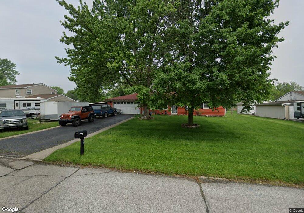
421 Nantucket Rd Valparaiso, IN 46385
Estimated Value: $215,000 - $238,000
3
Beds
2
Baths
1,120
Sq Ft
$200/Sq Ft
Est. Value
About This Home
This home is located at 421 Nantucket Rd, Valparaiso, IN 46385 and is currently estimated at $223,696, approximately $199 per square foot. 421 Nantucket Rd is a home located in Porter County with nearby schools including South Haven Elementary School, William Fegely Middle School, and Portage High School.
Ownership History
Date
Name
Owned For
Owner Type
Purchase Details
Closed on
Feb 4, 2019
Sold by
Meints Cheis E and Meints Dawn M
Bought by
Meints Chris E
Current Estimated Value
Home Financials for this Owner
Home Financials are based on the most recent Mortgage that was taken out on this home.
Original Mortgage
$87,500
Interest Rate
4.5%
Mortgage Type
New Conventional
Create a Home Valuation Report for This Property
The Home Valuation Report is an in-depth analysis detailing your home's value as well as a comparison with similar homes in the area
Home Values in the Area
Average Home Value in this Area
Purchase History
| Date | Buyer | Sale Price | Title Company |
|---|---|---|---|
| Meints Chris E | -- | Fidelity National Title Co |
Source: Public Records
Mortgage History
| Date | Status | Borrower | Loan Amount |
|---|---|---|---|
| Closed | Meints Chris E | $87,500 |
Source: Public Records
Tax History
| Year | Tax Paid | Tax Assessment Tax Assessment Total Assessment is a certain percentage of the fair market value that is determined by local assessors to be the total taxable value of land and additions on the property. | Land | Improvement |
|---|---|---|---|---|
| 2025 | $2,052 | $182,100 | $34,200 | $147,900 |
| 2024 | $1,268 | $171,500 | $34,200 | $137,300 |
| 2023 | $1,094 | $166,100 | $32,300 | $133,800 |
| 2022 | $1,151 | $161,500 | $32,300 | $129,200 |
| 2021 | $1,079 | $136,000 | $32,300 | $103,700 |
| 2020 | $936 | $122,100 | $29,500 | $92,600 |
| 2019 | $880 | $115,300 | $29,500 | $85,800 |
| 2018 | $875 | $113,300 | $29,500 | $83,800 |
| 2017 | $764 | $115,100 | $29,500 | $85,600 |
| 2016 | $768 | $116,300 | $40,600 | $75,700 |
| 2014 | $726 | $106,000 | $37,900 | $68,100 |
| 2013 | -- | $98,100 | $36,900 | $61,200 |
Source: Public Records
Map
Nearby Homes
- 637 Old Forge Rd
- 419 Portland Rd
- 411 Prescott Rd
- 677 N 450 W
- 395 Plymouth Rd Unit B
- 682 Dearborn Rd Unit A
- 695 Cross Meadows Dr
- 672 Coventry Ct
- 382 Pinewood Dr
- 726 Fremont Rd
- 702-1 Fox River Rd
- 397 W Millport Dr
- 730-1 Juniper Rd
- 726-1 Imperial Rd
- 373 W Millport Dr
- 403 Sherman Dr
- 733-1 Imperial Rd
- 372 Raven Ct
- 536 Riviera Rd
- 723 Fox River Rd
- 421-1 Nantucket Rd
- 423 Nantucket Rd
- 646 Old Forge Rd
- 419 Nantucket Rd
- 424 Nantucket Rd
- 420 Nantucket Rd
- 644 Old Forge Rd
- 646 Olympia Rd
- 645 Old Forge Rd
- 424 Portland Rd
- 643 Olympia Rd
- 417 Nantucket Rd
- 426 Portland Rd
- 418 Nantucket Rd
- 642 Old Forge Rd
- 427 Nantucket Rd
- 644 Oswego Rd
- 643 Old Forge Rd
- 422 Portland Rd
- 641-1 Olympia Rd
Your Personal Tour Guide
Ask me questions while you tour the home.