421 Orchard Rd Fairfield, PA 17320
Estimated Value: $670,000 - $1,077,456
3
Beds
3
Baths
2,933
Sq Ft
$298/Sq Ft
Est. Value
About This Home
This home is located at 421 Orchard Rd, Fairfield, PA 17320 and is currently estimated at $873,728, approximately $297 per square foot. 421 Orchard Rd is a home located in Adams County with nearby schools including Fairfield Area Elementary School, Fairfield Area Middle School, and Fairfield Area High School.
Ownership History
Date
Name
Owned For
Owner Type
Purchase Details
Closed on
Aug 25, 2009
Sold by
Clac Enterprises Llc
Bought by
Sornson Lee R and Sornson Cheryl Anne
Current Estimated Value
Home Financials for this Owner
Home Financials are based on the most recent Mortgage that was taken out on this home.
Original Mortgage
$440,000
Outstanding Balance
$287,466
Interest Rate
5.17%
Mortgage Type
Purchase Money Mortgage
Estimated Equity
$586,262
Create a Home Valuation Report for This Property
The Home Valuation Report is an in-depth analysis detailing your home's value as well as a comparison with similar homes in the area
Home Values in the Area
Average Home Value in this Area
Purchase History
| Date | Buyer | Sale Price | Title Company |
|---|---|---|---|
| Sornson Lee R | $5,624 | -- |
Source: Public Records
Mortgage History
| Date | Status | Borrower | Loan Amount |
|---|---|---|---|
| Open | Sornson Lee R | $440,000 |
Source: Public Records
Tax History Compared to Growth
Tax History
| Year | Tax Paid | Tax Assessment Tax Assessment Total Assessment is a certain percentage of the fair market value that is determined by local assessors to be the total taxable value of land and additions on the property. | Land | Improvement |
|---|---|---|---|---|
| 2025 | $7,359 | $383,300 | $75,900 | $307,400 |
| 2024 | $6,738 | $383,300 | $75,900 | $307,400 |
| 2023 | $12,860 | $383,300 | $75,900 | $307,400 |
| 2022 | $12,860 | $383,300 | $75,900 | $307,400 |
| 2021 | $12,126 | $383,300 | $75,900 | $307,400 |
| 2020 | $11,818 | $383,300 | $75,900 | $307,400 |
| 2019 | $11,201 | $363,000 | $75,900 | $287,100 |
| 2018 | $10,987 | $363,000 | $75,900 | $287,100 |
| 2017 | $5,252 | $363,000 | $75,900 | $287,100 |
| 2016 | -- | $363,000 | $75,900 | $287,100 |
| 2015 | -- | $355,100 | $68,000 | $287,100 |
| 2014 | -- | $354,900 | $67,800 | $287,100 |
Source: Public Records
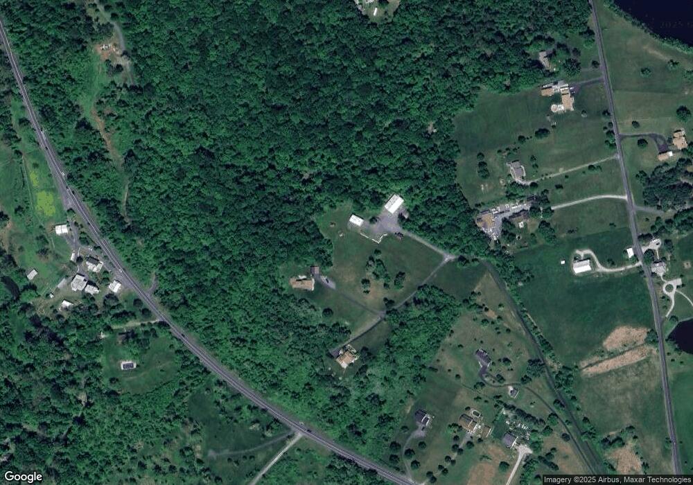
Map
Nearby Homes
- 179 Topper Rd
- 46 Mason Dixon Trail
- 10 Lower Trail Unit 34
- 32 Walnut Trail
- 16 Hickory Trail Unit 74
- 38 Ringneck Trail
- 21 Oak Ridge Trail Unit 104
- 28 Swallow Trail
- 2 Finch Trail
- 6 Winter Trail Unit 148
- 10 Dove Trail
- 50 Oak Ridge Trail
- 17 Dove Trail Unit 338
- 149 Pecher Rd
- 1317 Huntley Cir
- 0 Pecher Rd
- 23 Raven Trail
- 37 Raven Trail Unit 306
- 31 Eagles Trail
- 9 Sidetrack Trail
- 423 Orchard Rd
- 285 Waynesboro Pike Unit 2A
- 442 Waynesboro Pike
- 425 Orchard Rd Unit 2
- 448 Waynesboro Pike
- 349 Topper Rd Unit 5
- 265 Waynesboro Pike
- 265 Waynesboro Pike Unit 2B
- 265 Waynesboro Pike Unit 2B
- 325 Topper Rd Unit 6
- 320 Waynesboro Pike Unit 2
- 245 Waynesboro Pike Unit 2C
- 255 Topper Rd Unit 9
- 467 Waynesboro Pike
- 23 Creek View Trail
- 295 Topper Rd Unit 8
- 297 Topper Rd Unit 1
- 28 Creek View Trail Unit 17
- 26 Creek View Trail Unit 16
- 378 Topper Rd