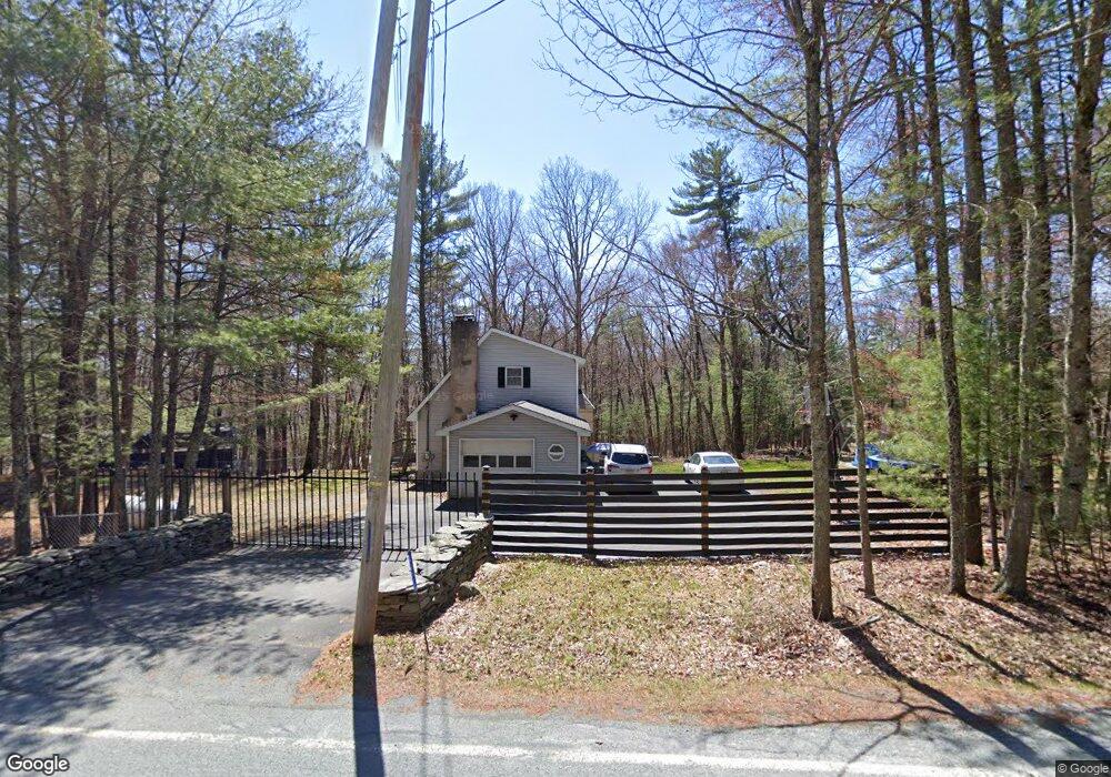
421 Raymondskill Rd Milford, PA 18337
Estimated Value: $331,024 - $400,000
3
Beds
2
Baths
1,440
Sq Ft
$254/Sq Ft
Est. Value
About This Home
This home is located at 421 Raymondskill Rd, Milford, PA 18337 and is currently estimated at $365,512, approximately $253 per square foot. 421 Raymondskill Rd is a home located in Pike County with nearby schools including Delaware Valley High School.
Ownership History
Date
Name
Owned For
Owner Type
Purchase Details
Closed on
Aug 24, 2007
Sold by
Rupert Eugene J and Rupert Michael E
Bought by
Martel David J and Martel Kimberly A
Current Estimated Value
Home Financials for this Owner
Home Financials are based on the most recent Mortgage that was taken out on this home.
Original Mortgage
$227,900
Outstanding Balance
$145,177
Interest Rate
6.78%
Mortgage Type
New Conventional
Estimated Equity
$220,335
Create a Home Valuation Report for This Property
The Home Valuation Report is an in-depth analysis detailing your home's value as well as a comparison with similar homes in the area
Home Values in the Area
Average Home Value in this Area
Purchase History
| Date | Buyer | Sale Price | Title Company |
|---|---|---|---|
| Martel David J | $227,900 | None Available |
Source: Public Records
Mortgage History
| Date | Status | Borrower | Loan Amount |
|---|---|---|---|
| Open | Martel David J | $227,900 |
Source: Public Records
Tax History Compared to Growth
Tax History
| Year | Tax Paid | Tax Assessment Tax Assessment Total Assessment is a certain percentage of the fair market value that is determined by local assessors to be the total taxable value of land and additions on the property. | Land | Improvement |
|---|---|---|---|---|
| 2025 | $4,528 | $29,970 | $2,750 | $27,220 |
| 2024 | $4,528 | $29,970 | $2,750 | $27,220 |
| 2023 | $4,460 | $29,970 | $2,750 | $27,220 |
| 2022 | $4,341 | $29,970 | $2,750 | $27,220 |
| 2021 | $4,296 | $29,970 | $2,750 | $27,220 |
| 2020 | $4,274 | $29,970 | $2,750 | $27,220 |
| 2019 | $4,127 | $29,970 | $2,750 | $27,220 |
| 2018 | $4,127 | $29,970 | $2,750 | $27,220 |
| 2017 | $4,015 | $29,970 | $2,750 | $27,220 |
| 2016 | $0 | $29,970 | $2,750 | $27,220 |
| 2014 | -- | $29,970 | $2,750 | $27,220 |
Source: Public Records
Map
Nearby Homes
- 130 Magnolia Ln
- 127 E Mulberry Dr
- 108 Rhododendron Ln
- 157 E Mulberry Dr
- 142 Birch Leaf Dr
- 115 Knob Cone Dr
- 108 Knob Cone Dr
- Lot 3613 Hiawatha Trail
- Lot 2703 Flatbrook Way
- 109 Gwinnett Rd
- Lot 344 Sec 4 Lakewood Dr
- 110 Middleton Dr
- 0 Arrowood Dr
- Lot 1537 Sequoia Ln
- 160 Tan Oak Dr
- 177 Chokeberry Dr
- Lot 1725 Tan Oak Dr
- 180 Chokeberry Dr
- 119 Aspen Dr
- LOT 1167 Crocus Ln
- 153 Mulberry Dr
- 105 Mulberry Dr
- 149 Mulberry Dr
- 110 Mulberry Dr
- 165 Mulberry Dr
- 104 Husson Rd
- 112 Mulberry Dr
- 174 Mulberry Dr
- 420 Raymondskill Rd
- 158 Mulberry Dr
- 416 Raymondskill Rd
- 114 Mulberry Dr
- 108 Husson Rd
- 145 Mulberry Dr
- 426 Raymondskill Rd
- 155 Mulberry Dr
- 154 Mulberry Dr
- 116 Mulberry Dr
- 118 Mulberry Dr
- 433 Raymondskill Rd