421 Robert Taylor Rd Lagrange, GA 30240
Estimated Value: $255,000 - $357,000
3
Beds
2
Baths
1,994
Sq Ft
$151/Sq Ft
Est. Value
About This Home
This home is located at 421 Robert Taylor Rd, Lagrange, GA 30240 and is currently estimated at $301,164, approximately $151 per square foot. 421 Robert Taylor Rd is a home located in Troup County with nearby schools including Long Cane Elementary School, Whitesville Road Elementary School, and West Point Elementary School.
Ownership History
Date
Name
Owned For
Owner Type
Purchase Details
Closed on
May 13, 1994
Sold by
Lou Ann Norris
Bought by
Crowder Neal and Crowder Mamie
Current Estimated Value
Purchase Details
Closed on
Nov 19, 1991
Bought by
Lou Ann Norris
Purchase Details
Closed on
Mar 1, 1983
Purchase Details
Closed on
Feb 1, 1983
Create a Home Valuation Report for This Property
The Home Valuation Report is an in-depth analysis detailing your home's value as well as a comparison with similar homes in the area
Purchase History
| Date | Buyer | Sale Price | Title Company |
|---|---|---|---|
| Crowder Neal | $45,000 | -- | |
| Lou Ann Norris | -- | -- | |
| -- | $9,000 | -- | |
| -- | -- | -- |
Source: Public Records
Tax History
| Year | Tax Paid | Tax Assessment Tax Assessment Total Assessment is a certain percentage of the fair market value that is determined by local assessors to be the total taxable value of land and additions on the property. | Land | Improvement |
|---|---|---|---|---|
| 2025 | $1,749 | $94,768 | $19,440 | $75,328 |
| 2024 | $1,564 | $84,248 | $19,440 | $64,808 |
| 2023 | $692 | $70,168 | $19,440 | $50,728 |
| 2022 | $1,137 | $67,128 | $19,440 | $47,688 |
| 2021 | $1,220 | $48,196 | $13,200 | $34,996 |
| 2020 | $1,185 | $47,048 | $12,052 | $34,996 |
| 2019 | $1,185 | $47,032 | $12,052 | $34,980 |
| 2018 | $1,090 | $43,876 | $12,052 | $31,824 |
| 2017 | $1,090 | $43,876 | $12,052 | $31,824 |
| 2016 | $1,059 | $42,854 | $12,052 | $30,802 |
| 2015 | $1,059 | $42,854 | $12,052 | $30,802 |
| 2014 | $1,010 | $41,232 | $12,052 | $29,180 |
| 2013 | -- | $43,191 | $12,052 | $31,139 |
Source: Public Records
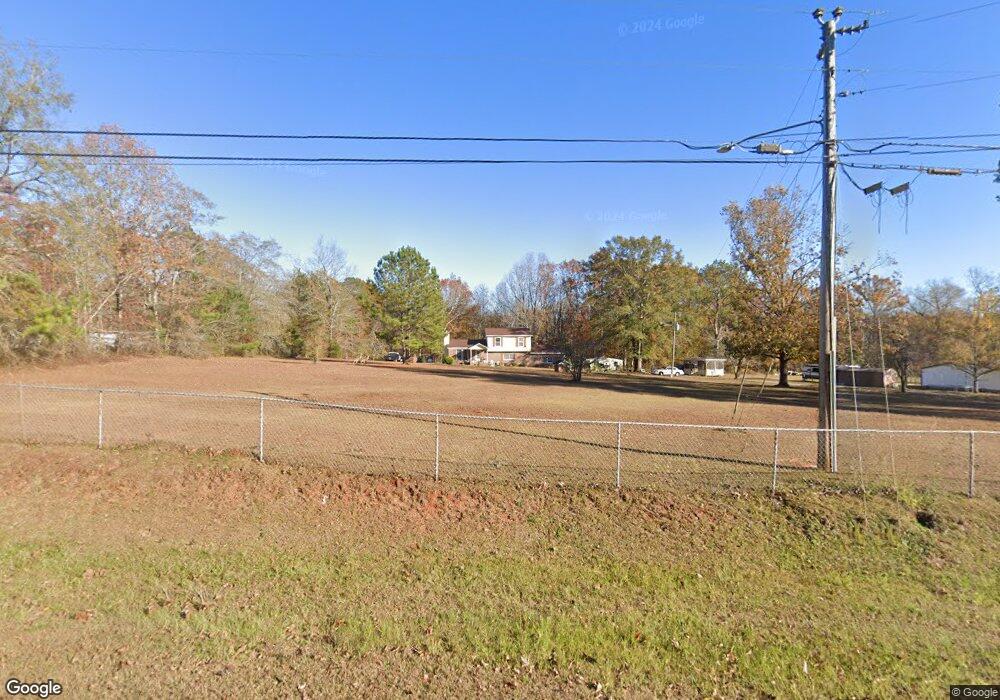
Map
Nearby Homes
- 0 Cannonville Rd
- Sandtown Road Unit: 1 2+ - Acre
- 0 Sandtown Rd Unit 10255987
- 5714 W Point Rd
- 0 Warner Rd Unit 10686116
- 102 Bridgewater Dr
- 648 Warner Rd
- 107 Sweetwater Ct
- 107 Waters Edge Dr
- 0 Lambert Rd
- 101 Garden Walk Unit 85
- 105 Redwood Dr
- 90 Hickory Ln
- 4172 Bartley Rd
- 0 Hanson Dr Unit 10641272
- 107 Amhurst Dr
- 640 Hudson Rd
- 275 Hanson Dr
- 22 Freeman Rd
- 145 Jarrell Hogg Rd
- 389 Robert Taylor Rd
- 408 Robert Taylor Rd
- 418 Robert Taylor Rd
- 345 Robert Taylor Rd
- 344 Robert Taylor Rd
- 303 Robert Taylor Rd
- 320 Robert Taylor Rd
- 273 Robert Taylor Rd
- 272 Robert Taylor Rd
- 248 Robert Taylor Rd
- 251 Robert Taylor Rd
- 630 Robert Taylor Rd
- 236 Robert Taylor Rd
- 226 Robert Taylor Rd
- 220 Robert Taylor Rd
- 210 Robert Taylor Rd
- 221 Robert Taylor Rd
- 141 Robert Taylor Rd
- 121 Robert Taylor Rd
- 115 Robert Taylor Rd
Your Personal Tour Guide
Ask me questions while you tour the home.