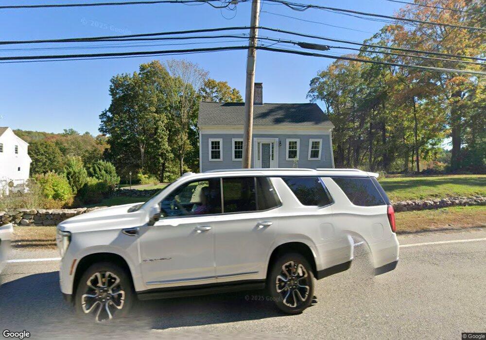
421 S Street-P V R M Wrentham, MA 02093
Estimated Value: $597,000 - $692,000
3
Beds
2
Baths
1,962
Sq Ft
$328/Sq Ft
Est. Value
About This Home
This home is located at 421 S Street-P V R M, Wrentham, MA 02093 and is currently estimated at $644,047, approximately $328 per square foot. 421 S Street-P V R M is a home located in Norfolk County with nearby schools including Delaney Elementary School and Charles E Roderick.
Ownership History
Date
Name
Owned For
Owner Type
Purchase Details
Closed on
Nov 6, 2009
Sold by
Settle Scott A and Settle Margaret D
Bought by
Agricola Anthony S and Agricola Susan
Current Estimated Value
Home Financials for this Owner
Home Financials are based on the most recent Mortgage that was taken out on this home.
Original Mortgage
$311,400
Interest Rate
5.06%
Mortgage Type
Purchase Money Mortgage
Purchase Details
Closed on
Feb 14, 1997
Sold by
Raymond Loel A and Raymond Marie W
Bought by
Settle Scott A and Settle Margaret D
Home Financials for this Owner
Home Financials are based on the most recent Mortgage that was taken out on this home.
Original Mortgage
$159,000
Interest Rate
7.6%
Mortgage Type
Purchase Money Mortgage
Create a Home Valuation Report for This Property
The Home Valuation Report is an in-depth analysis detailing your home's value as well as a comparison with similar homes in the area
Home Values in the Area
Average Home Value in this Area
Purchase History
| Date | Buyer | Sale Price | Title Company |
|---|---|---|---|
| Agricola Anthony S | $346,000 | -- | |
| Settle Scott A | $177,000 | -- |
Source: Public Records
Mortgage History
| Date | Status | Borrower | Loan Amount |
|---|---|---|---|
| Open | Settle Scott A | $313,100 | |
| Closed | Agricola Anthony S | $311,400 | |
| Previous Owner | Settle Scott A | $159,000 |
Source: Public Records
Tax History Compared to Growth
Tax History
| Year | Tax Paid | Tax Assessment Tax Assessment Total Assessment is a certain percentage of the fair market value that is determined by local assessors to be the total taxable value of land and additions on the property. | Land | Improvement |
|---|---|---|---|---|
| 2025 | $5,705 | $492,200 | $254,000 | $238,200 |
| 2024 | $5,519 | $459,900 | $254,000 | $205,900 |
| 2023 | $5,300 | $420,000 | $230,900 | $189,100 |
| 2022 | $5,211 | $381,200 | $224,700 | $156,500 |
| 2021 | $5,046 | $358,600 | $210,000 | $148,600 |
| 2020 | $4,604 | $323,100 | $160,300 | $162,800 |
| 2019 | $4,445 | $314,800 | $160,300 | $154,500 |
| 2018 | $4,641 | $325,900 | $160,500 | $165,400 |
| 2017 | $4,352 | $305,400 | $157,400 | $148,000 |
| 2016 | $4,281 | $299,800 | $152,800 | $147,000 |
| 2015 | $4,136 | $276,100 | $146,900 | $129,200 |
| 2014 | $4,068 | $265,700 | $141,300 | $124,400 |
Source: Public Records
Map
Nearby Homes
- Lot 1 - Blueberry 2 Car Plan at King Philip Estates
- Lot 8 - Blueberry 2 Car Plan at King Philip Estates
- Lot 5 - Hughes 2 car Plan at King Philip Estates
- Lot 6 - Blueberry 3 Car Plan at King Philip Estates
- Lot 2 - Camden 2 Car Plan at King Philip Estates
- Lot 7 - Cedar Plan at King Philip Estates
- Lot 4 - Hemingway 2 Car Plan at King Philip Estates
- Lot 3 - Blueberry 2 Car Plan at King Philip Estates
- 11 Earle Stewart Ln
- Lot 3 - 14 Earle Stewart Ln
- 131 Creek St Unit 7
- 319 Taunton St
- 791 South St Unit 5
- 10 Nature View Dr
- 15 Nature View Dr
- 570 Franklin St
- 155 Clark Rd Unit 155
- 362 East St
- 1 Lorraine Metcalf Dr
- 270 Dedham St