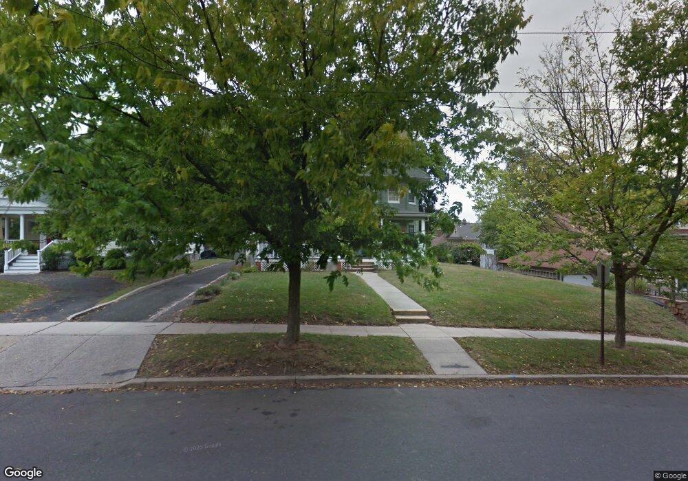
421 Somerset St Bound Brook, NJ 08805
Estimated Value: $571,000 - $612,643
--
Bed
--
Bath
2,182
Sq Ft
$271/Sq Ft
Est. Value
About This Home
This home is located at 421 Somerset St, Bound Brook, NJ 08805 and is currently estimated at $592,161, approximately $271 per square foot. 421 Somerset St is a home located in Somerset County with nearby schools including LaMonte Annex Elementary School, Lafayette Elementary School, and Bound Brook High School.
Ownership History
Date
Name
Owned For
Owner Type
Purchase Details
Closed on
Sep 20, 2023
Sold by
United States Of America
Bought by
New Jersey Department Of Environmental Protec
Current Estimated Value
Purchase Details
Closed on
Oct 31, 2002
Sold by
Bampe Donald
Bought by
Nanarone Anthony and Duebecke Grace
Home Financials for this Owner
Home Financials are based on the most recent Mortgage that was taken out on this home.
Original Mortgage
$241,062
Interest Rate
6.16%
Mortgage Type
FHA
Purchase Details
Closed on
Feb 9, 1989
Sold by
Granetz Adele P Donald Bampe
Bought by
Bampe Donald and Bampe Leonore
Create a Home Valuation Report for This Property
The Home Valuation Report is an in-depth analysis detailing your home's value as well as a comparison with similar homes in the area
Home Values in the Area
Average Home Value in this Area
Purchase History
| Date | Buyer | Sale Price | Title Company |
|---|---|---|---|
| New Jersey Department Of Environmental Protec | -- | None Listed On Document | |
| Nanarone Anthony | $250,000 | -- | |
| Bampe Donald | $94,500 | -- |
Source: Public Records
Mortgage History
| Date | Status | Borrower | Loan Amount |
|---|---|---|---|
| Previous Owner | Nanarone Anthony | $241,062 |
Source: Public Records
Tax History Compared to Growth
Tax History
| Year | Tax Paid | Tax Assessment Tax Assessment Total Assessment is a certain percentage of the fair market value that is determined by local assessors to be the total taxable value of land and additions on the property. | Land | Improvement |
|---|---|---|---|---|
| 2025 | $11,359 | $528,300 | $247,000 | $281,300 |
| 2024 | $11,359 | $500,600 | $227,000 | $273,600 |
| 2023 | $11,064 | $469,200 | $202,000 | $267,200 |
| 2022 | $11,101 | $446,200 | $192,000 | $254,200 |
| 2021 | $9,099 | $321,300 | $107,000 | $214,300 |
| 2020 | $8,986 | $291,100 | $97,000 | $194,100 |
| 2019 | $9,099 | $281,100 | $87,000 | $194,100 |
| 2018 | $8,562 | $256,800 | $87,000 | $169,800 |
| 2017 | $8,582 | $251,600 | $87,000 | $164,600 |
| 2016 | $8,546 | $252,400 | $52,000 | $200,400 |
| 2015 | $9,205 | $278,000 | $62,000 | $216,000 |
| 2014 | $8,844 | $258,000 | $42,000 | $216,000 |
Source: Public Records
Map
Nearby Homes
- 112 East St
- 112-114 E Union Ave
- 112 E Union Ave
- 320 Church St
- 14 E Maple Ave
- 2 Drake St
- 102 W Franklin St
- 520 Winsor St
- 126 W High St
- 130 W High St Unit 132
- 563 Winsor St
- 650 Central Ave
- 40 van Keuren Ave Unit 42
- 34 van Keuren Ave Unit 38
- 205 Ashland Rd
- 20 Patriots Path
- 311 Ashland Rd
- 165 Prospect St
- 180 Farm Ln
- 307 W Union Ave