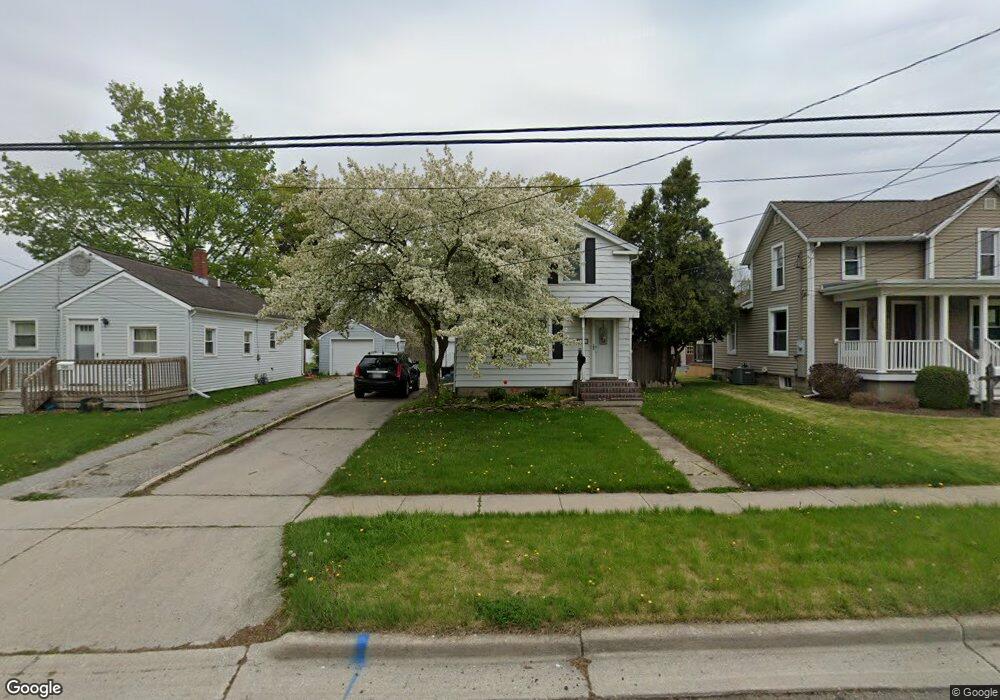
421 Springbrook Ave Adrian, MI 49221
Estimated Value: $133,000 - $164,248
2
Beds
2
Baths
1,312
Sq Ft
$116/Sq Ft
Est. Value
About This Home
This home is located at 421 Springbrook Ave, Adrian, MI 49221 and is currently estimated at $152,062, approximately $115 per square foot. 421 Springbrook Ave is a home located in Lenawee County with nearby schools including Adrian High School, Berean Baptist Academy, and Trenton Hills Learning Center.
Ownership History
Date
Name
Owned For
Owner Type
Purchase Details
Closed on
Jun 7, 2013
Sold by
Mcmunn Michelle Ann and Mcmunn Michelle A
Bought by
Grimes Lowell R
Current Estimated Value
Home Financials for this Owner
Home Financials are based on the most recent Mortgage that was taken out on this home.
Original Mortgage
$21,850
Outstanding Balance
$4,889
Interest Rate
3.43%
Mortgage Type
New Conventional
Estimated Equity
$147,173
Create a Home Valuation Report for This Property
The Home Valuation Report is an in-depth analysis detailing your home's value as well as a comparison with similar homes in the area
Home Values in the Area
Average Home Value in this Area
Purchase History
| Date | Buyer | Sale Price | Title Company |
|---|---|---|---|
| Grimes Lowell R | $23,000 | None Available |
Source: Public Records
Mortgage History
| Date | Status | Borrower | Loan Amount |
|---|---|---|---|
| Open | Grimes Lowell R | $21,850 |
Source: Public Records
Tax History
| Year | Tax Paid | Tax Assessment Tax Assessment Total Assessment is a certain percentage of the fair market value that is determined by local assessors to be the total taxable value of land and additions on the property. | Land | Improvement |
|---|---|---|---|---|
| 2025 | $2,016 | $71,100 | $0 | $0 |
| 2024 | $17 | $65,400 | $0 | $0 |
| 2023 | $1,938 | $59,700 | $0 | $0 |
| 2022 | $3,172 | $53,700 | $0 | $0 |
| 2021 | $1,602 | $50,600 | $0 | $0 |
| 2020 | $1,596 | $47,500 | $0 | $0 |
| 2019 | $103,031 | $43,100 | $0 | $0 |
| 2018 | $1,543 | $46,931 | $0 | $0 |
| 2017 | $1,494 | $40,745 | $0 | $0 |
| 2016 | $1,482 | $35,236 | $0 | $0 |
| 2014 | -- | $34,700 | $0 | $0 |
Source: Public Records
Map
Nearby Homes
- 306 Summer St
- 333 Greenly St
- 227 Greenly St
- 559 Northwestern Dr
- 703 Company St
- 371 Riverside Ave
- 453 Riverside Ave
- 228 W Church St
- 547 Riverside Ave
- 143 Park St
- 169 Park St
- 229 Clinton St
- 146 Budlong St
- 612 N Clinton St
- 705 College Ave
- 914 W Maumee St
- 417 E Hunt St
- 423 E Butler St
- 710 Lakeshire Trail Unit 201E
- 313 Rice St
- 411 Springbrook Ave
- 411 Springbrook Ave Unit SPRINGBROOK
- 427 Springbrook Ave
- 406 W Maple Ave
- 422 Cherry St
- 416 Cherry St
- 435 Springbrook Ave
- 422 W Maple Ave
- 426 Cherry St
- 405 Springbrook Ave
- 432 Cherry St
- 449 Springbrook Ave
- 440 Springbrook Ave
- 502 W Maple Ave
- 438 Cherry St
- 350 W Maple Ave
- 413 Cherry St
- 419 W Maple Ave
- 508 W Maple Ave
- 336 Cherry St
Your Personal Tour Guide
Ask me questions while you tour the home.