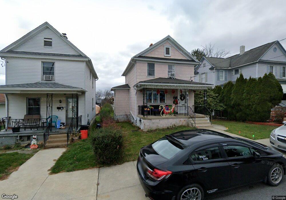
421 Throop St Dunmore, PA 18512
Estimated Value: $116,709 - $270,000
Studio
--
Bath
--
Sq Ft
7,362
Sq Ft Lot
About This Home
This home is located at 421 Throop St, Dunmore, PA 18512 and is currently estimated at $191,677. 421 Throop St is a home located in Lackawanna County with nearby schools including Dunmore Elementary Center, St. Mary of Mount Carmel School, and The Children's Cornerstone.
Ownership History
Date
Name
Owned For
Owner Type
Purchase Details
Closed on
Nov 27, 2019
Sold by
Pigga Frank P and Pigga Diana Marie
Bought by
Pigga Stephen and Pigga Jessie Lee
Current Estimated Value
Home Financials for this Owner
Home Financials are based on the most recent Mortgage that was taken out on this home.
Original Mortgage
$104,760
Outstanding Balance
$92,631
Interest Rate
3.75%
Mortgage Type
New Conventional
Estimated Equity
$99,046
Purchase Details
Closed on
Jun 9, 2008
Sold by
Dias Mary Ann and Dias Mary Ann T
Bought by
Pigga Frank P and Pigga Diana Marie
Home Financials for this Owner
Home Financials are based on the most recent Mortgage that was taken out on this home.
Original Mortgage
$99,216
Interest Rate
6.13%
Mortgage Type
FHA
Purchase Details
Closed on
May 25, 2006
Sold by
Dias Mary Ann T
Bought by
Dias Mary Ann and Kochis John J
Create a Home Valuation Report for This Property
The Home Valuation Report is an in-depth analysis detailing your home's value as well as a comparison with similar homes in the area
Home Values in the Area
Average Home Value in this Area
Purchase History
| Date | Buyer | Sale Price | Title Company |
|---|---|---|---|
| Pigga Stephen | $108,000 | Commonwealth Land Ttl Ins Co | |
| Pigga Frank P | $100,000 | None Available | |
| Dias Mary Ann | -- | None Available |
Source: Public Records
Mortgage History
| Date | Status | Borrower | Loan Amount |
|---|---|---|---|
| Open | Pigga Stephen | $104,760 | |
| Previous Owner | Pigga Frank P | $99,216 |
Source: Public Records
Tax History
| Year | Tax Paid | Tax Assessment Tax Assessment Total Assessment is a certain percentage of the fair market value that is determined by local assessors to be the total taxable value of land and additions on the property. | Land | Improvement |
|---|---|---|---|---|
| 2025 | $2,089 | $7,000 | $850 | $6,150 |
| 2024 | $1,786 | $7,000 | $850 | $6,150 |
| 2023 | $1,786 | $7,000 | $850 | $6,150 |
| 2022 | $1,675 | $7,000 | $850 | $6,150 |
| 2021 | $1,642 | $7,000 | $850 | $6,150 |
| 2020 | $1,642 | $7,000 | $850 | $6,150 |
| 2019 | $1,570 | $7,000 | $850 | $6,150 |
| 2018 | $1,545 | $7,000 | $850 | $6,150 |
| 2017 | $1,500 | $7,000 | $850 | $6,150 |
| 2016 | $679 | $7,000 | $850 | $6,150 |
| 2015 | -- | $7,000 | $850 | $6,150 |
| 2014 | -- | $7,000 | $850 | $6,150 |
Source: Public Records
Map
Nearby Homes
- 505 Boyle St
- 609 E Drinker St
- 604 Marjorie Dr
- 225, 233 E 301 East Drinker Stret
- 618 Shirley Ln
- 1941 Electric St Unit Rear
- 114 Maloney St
- 216 Prospect St
- 113 E Pine St
- 709 Meade St
- 118 Dudley St
- 1715 Quincy Ave
- 1599 Electric St
- 812 Butler St
- 611 Chestnut St
- 1605 Green Ridge St
- 1721 Rear Madison Ave
- 1420 College Ave
- 627 S Blakely St
- 1732 Jefferson Ave