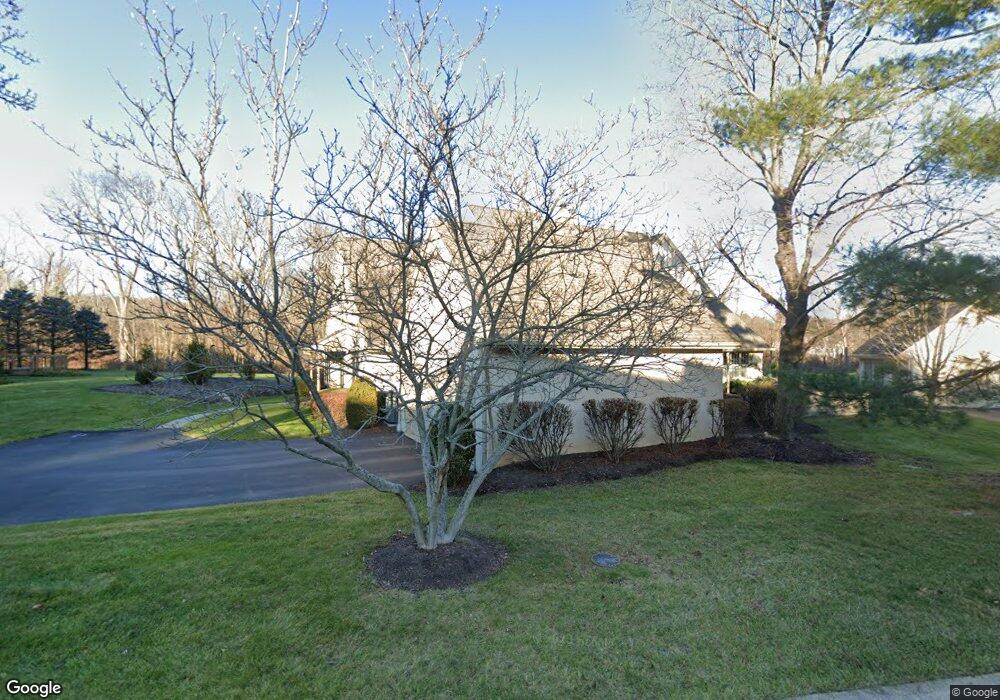
421 Waynesbrooke Rd Unit 107 Berwyn, PA 19312
Estimated Value: $858,000 - $935,000
3
Beds
3
Baths
3,056
Sq Ft
$290/Sq Ft
Est. Value
About This Home
This home is located at 421 Waynesbrooke Rd Unit 107, Berwyn, PA 19312 and is currently estimated at $885,778, approximately $289 per square foot. 421 Waynesbrooke Rd Unit 107 is a home located in Chester County with nearby schools including Beaumont Elementary School, Tredyffrin-Easttown Middle School, and Conestoga Senior High School.
Ownership History
Date
Name
Owned For
Owner Type
Purchase Details
Closed on
Jun 28, 2002
Sold by
Nannos Arthur and Nannos Constance
Bought by
Wilson Gary E and Wilson Franca G
Current Estimated Value
Home Financials for this Owner
Home Financials are based on the most recent Mortgage that was taken out on this home.
Original Mortgage
$175,000
Outstanding Balance
$74,764
Interest Rate
6.82%
Estimated Equity
$811,014
Create a Home Valuation Report for This Property
The Home Valuation Report is an in-depth analysis detailing your home's value as well as a comparison with similar homes in the area
Home Values in the Area
Average Home Value in this Area
Purchase History
| Date | Buyer | Sale Price | Title Company |
|---|---|---|---|
| Wilson Gary E | $460,000 | Fidelity National Title Ins |
Source: Public Records
Mortgage History
| Date | Status | Borrower | Loan Amount |
|---|---|---|---|
| Open | Wilson Gary E | $175,000 |
Source: Public Records
Tax History Compared to Growth
Tax History
| Year | Tax Paid | Tax Assessment Tax Assessment Total Assessment is a certain percentage of the fair market value that is determined by local assessors to be the total taxable value of land and additions on the property. | Land | Improvement |
|---|---|---|---|---|
| 2025 | $10,973 | $294,190 | $85,450 | $208,740 |
| 2024 | $10,973 | $294,190 | $85,450 | $208,740 |
| 2023 | $10,260 | $294,190 | $85,450 | $208,740 |
| 2022 | $9,979 | $294,190 | $85,450 | $208,740 |
| 2021 | $9,763 | $294,190 | $85,450 | $208,740 |
| 2020 | $9,491 | $294,190 | $85,450 | $208,740 |
| 2019 | $9,227 | $294,190 | $85,450 | $208,740 |
| 2018 | $9,067 | $294,190 | $85,450 | $208,740 |
| 2017 | $8,863 | $294,190 | $85,450 | $208,740 |
| 2016 | -- | $294,190 | $85,450 | $208,740 |
| 2015 | -- | $294,190 | $85,450 | $208,740 |
| 2014 | -- | $294,190 | $85,450 | $208,740 |
Source: Public Records
Map
Nearby Homes
- 520 Hawthorne Place
- 91 Central Ave
- 32 Manchester Ct
- 119 Waterloo Ave
- 191 Stony Point Dr
- 541 Woodside Ave
- 837 Nathan Hale Rd
- 553 Woodside Ave
- 327 Stoney Knoll Lane - Lot 5
- 6 Wingstone Ln
- 1441 Berwyn Paoli Rd
- 709 Newtown Rd
- 650 Augusta Ct
- 2000 Saint Andrews Dr
- 896 Conestoga Rd
- 206 Yorktown Place Unit 106
- 1242 Old Lancaster Rd
- 5 Kent Ln
- 1179 Beaumont Rd
- Lot 8 Rose Glenn
- 423 Waynesbrooke Rd
- 419 Waynesbrooke Rd
- 417 Waynesbrooke Rd Unit G105
- 427 Waynesbrooke Rd Unit 109
- 422 Waynesbrooke Rd Unit 132
- 424 Waynesbrooke Rd
- 429 Waynesbrooke Rd
- 426 Waynesbrooke Rd Unit 130
- 420 Waynesbrooke Rd Unit G133
- 413 Waynesbrooke Rd
- 411 Waynesbrooke Rd Unit 103
- 428 Waynesbrooke Rd
- 433 Waynesbrooke Rd Unit 112
- 416 Waynesbrooke Rd
- 435 Waynesbrooke Rd Unit 113
- 430 Waynesbrooke Rd Unit 128
- 412 Waynesbrooke Rd Unit 136
- 403 Waynesbrooke Rd Unit 102
- 437 Waynesbrooke Rd Unit 114
- 401 Waynesbrooke Rd Unit 101