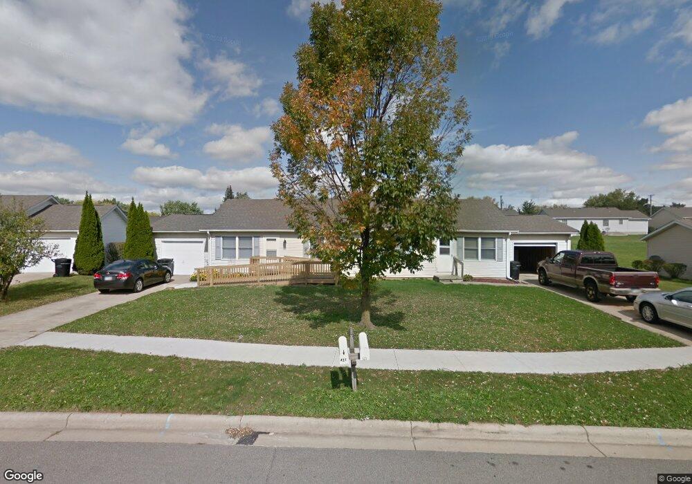
421 Woodridge Dr Unit 423 Mansfield, OH 44906
Estimated Value: $112,708 - $136,000
4
Beds
2
Baths
1,680
Sq Ft
$76/Sq Ft
Est. Value
About This Home
This home is located at 421 Woodridge Dr Unit 423, Mansfield, OH 44906 and is currently estimated at $127,677, approximately $75 per square foot. 421 Woodridge Dr Unit 423 is a home located in Richland County with nearby schools including Foundation Academy, Mansfield Elective Academy, and Goal Digital Academy.
Ownership History
Date
Name
Owned For
Owner Type
Purchase Details
Closed on
Jan 23, 2018
Sold by
Mansfield Woods Limited Partnership
Bought by
Mcpherson Woods Family Apartments Llc
Current Estimated Value
Home Financials for this Owner
Home Financials are based on the most recent Mortgage that was taken out on this home.
Original Mortgage
$1,300,000
Outstanding Balance
$1,096,765
Interest Rate
3.93%
Mortgage Type
Future Advance Clause Open End Mortgage
Estimated Equity
-$969,088
Create a Home Valuation Report for This Property
The Home Valuation Report is an in-depth analysis detailing your home's value as well as a comparison with similar homes in the area
Home Values in the Area
Average Home Value in this Area
Purchase History
| Date | Buyer | Sale Price | Title Company |
|---|---|---|---|
| Mcpherson Woods Family Apartments Llc | $1,419,000 | Fidelity Title |
Source: Public Records
Mortgage History
| Date | Status | Borrower | Loan Amount |
|---|---|---|---|
| Open | Mcpherson Woods Family Apartments Llc | $1,300,000 |
Source: Public Records
Tax History Compared to Growth
Tax History
| Year | Tax Paid | Tax Assessment Tax Assessment Total Assessment is a certain percentage of the fair market value that is determined by local assessors to be the total taxable value of land and additions on the property. | Land | Improvement |
|---|---|---|---|---|
| 2024 | $908 | $18,960 | $5,580 | $13,380 |
| 2023 | $908 | $18,960 | $5,580 | $13,380 |
| 2022 | $891 | $15,600 | $5,070 | $10,530 |
| 2021 | $897 | $15,600 | $5,070 | $10,530 |
| 2020 | $918 | $15,600 | $5,070 | $10,530 |
| 2019 | $1,017 | $15,600 | $5,070 | $10,530 |
| 2018 | $1,004 | $15,600 | $5,070 | $10,530 |
| 2017 | $977 | $15,600 | $5,070 | $10,530 |
| 2016 | $994 | $15,390 | $4,820 | $10,570 |
| 2015 | $949 | $15,390 | $4,820 | $10,570 |
| 2014 | $937 | $15,390 | $4,820 | $10,570 |
| 2012 | $378 | $16,200 | $5,070 | $11,130 |
Source: Public Records
Map
Nearby Homes
- 641 Averill Ave
- 340 Boston Ave
- 0 State Route 314 Unit 9069650
- 0 State Route 314 Unit 9067316
- 0 State Route 314 Unit 225021979
- 0 W Fourth St - Trimble Lenox
- 741 Burger Ave
- 269 Parkway Dr
- 1168 & 1171 Seminole Ave
- 1169 Seminole Ave
- 170 Western Ave
- 512 Burns St
- 237 Helen Ave
- 480 Mcpherson St
- 143 Buckeye Ave
- 0 Highway 30
- 874 Fairfax Ave
- 876 Fairfax Ave
- 450 Tracy St
- 185 Rowland Ave
- 415 Woodridge Dr Unit 417
- 427 Woodridge Dr Unit 429
- 869 Mcpherson St
- 861 Mcpherson St
- 879 Mcpherson St
- 855 Mcpherson St
- 424 Woodridge Dr Unit 426
- 887 Mcpherson St
- 393 Woodridge Dr
- 433 Woodridge Dr Unit 435
- 387 Woodridge Dr
- 416 Woodridge Dr Unit 418
- 430 Woodridge Dr Unit 432
- 847 Mcpherson St
- 381 Woodridge Dr
- 410 Woodridge Dr Unit 412
- 868 Mcpherson St
- 876 Mcpherson St
- 841 Mcpherson St
- 862 Mcpherson St