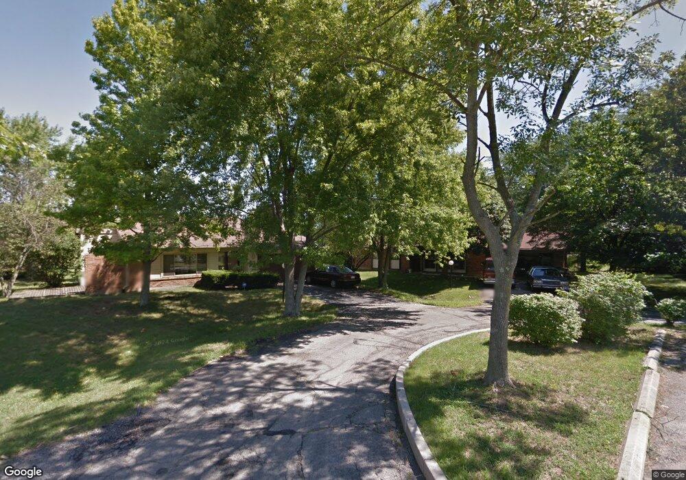
4210 Belmore Trace Dayton, OH 45426
Estimated Value: $154,000 - $202,000
3
Beds
2
Baths
1,558
Sq Ft
$111/Sq Ft
Est. Value
About This Home
This home is located at 4210 Belmore Trace, Dayton, OH 45426 and is currently estimated at $173,294, approximately $111 per square foot. 4210 Belmore Trace is a home located in Montgomery County with nearby schools including Trotwood-Madison Middle School, Trotwood-Madison High School, and Trotwood Preparatory & Fitness Academy.
Ownership History
Date
Name
Owned For
Owner Type
Purchase Details
Closed on
Oct 20, 2021
Sold by
Boatwright John and Boatwright Gary
Bought by
Fidow Jerome M and Fidow Sonia Y
Current Estimated Value
Home Financials for this Owner
Home Financials are based on the most recent Mortgage that was taken out on this home.
Original Mortgage
$123,405
Outstanding Balance
$112,534
Interest Rate
2.8%
Mortgage Type
New Conventional
Estimated Equity
$60,760
Purchase Details
Closed on
Aug 1, 2011
Sold by
Boatwright Dorothy E
Bought by
Boatwright Dorothy E and Boatwright John
Purchase Details
Closed on
Aug 14, 1995
Sold by
Hayes Robert L
Bought by
Boatwright John H and Boatwright Dorothy E
Create a Home Valuation Report for This Property
The Home Valuation Report is an in-depth analysis detailing your home's value as well as a comparison with similar homes in the area
Home Values in the Area
Average Home Value in this Area
Purchase History
| Date | Buyer | Sale Price | Title Company |
|---|---|---|---|
| Fidow Jerome M | $129,900 | Partners Land Title Agency | |
| Boatwright Dorothy E | -- | Attorney | |
| Boatwright John H | -- | -- |
Source: Public Records
Mortgage History
| Date | Status | Borrower | Loan Amount |
|---|---|---|---|
| Open | Fidow Jerome M | $123,405 |
Source: Public Records
Tax History Compared to Growth
Tax History
| Year | Tax Paid | Tax Assessment Tax Assessment Total Assessment is a certain percentage of the fair market value that is determined by local assessors to be the total taxable value of land and additions on the property. | Land | Improvement |
|---|---|---|---|---|
| 2024 | $1,983 | $30,500 | $6,720 | $23,780 |
| 2023 | $1,983 | $30,500 | $6,720 | $23,780 |
| 2022 | $1,985 | $23,770 | $5,250 | $18,520 |
| 2021 | $1,265 | $23,770 | $5,250 | $18,520 |
| 2020 | $2,036 | $23,770 | $5,250 | $18,520 |
| 2019 | $1,405 | $23,720 | $5,250 | $18,470 |
| 2018 | $1,407 | $23,720 | $5,250 | $18,470 |
| 2017 | $1,397 | $23,720 | $5,250 | $18,470 |
| 2016 | $1,397 | $23,720 | $5,250 | $18,470 |
| 2015 | $1,374 | $23,720 | $5,250 | $18,470 |
| 2014 | $1,374 | $23,720 | $5,250 | $18,470 |
| 2012 | -- | $27,980 | $7,700 | $20,280 |
Source: Public Records
Map
Nearby Homes
- 0 Elysian Ct
- 7540 Tuscola Dr
- 512 N Sherry Dr
- 4051 Belmore Trace
- 7626 Morning Mist Cir
- 0 Downey Ln
- 4496 Talcott Trail
- 7779 Downey Trail
- 7793 Downey Trail
- 209 W Main St
- 0 Main
- 208 E Sunrise Ave
- 1 E Worley Ave
- 17 Grand Ave
- 4 Pleasant Ave
- 204 E Main St
- 1 Rio Grande Ave
- 30 Whispering Dr
- 33 Mario Dr
- 301 Beardsley Rd
- 4220 Belmore Trace
- 7581 Arundel Rd
- 4200 Belmore Trace
- 7571 Arundel Rd
- 4221 Belmore Trace
- 7561 Arundel Rd
- 7590 Arundel Rd
- 7580 Arundel Rd
- 7611 Arundel Rd
- 4110 Belmore Trace
- 7570 Arundel Rd
- 7551 Arundel Rd
- 7641 Tuscola Dr
- 7600 Arundel Rd
- 7560 Arundel Rd
- 4109 Belmore Trace
- 7631 Tuscola Dr
- 4100 Belmore Trace
- 4111 Elysian Ct
- 7541 Arundel Rd