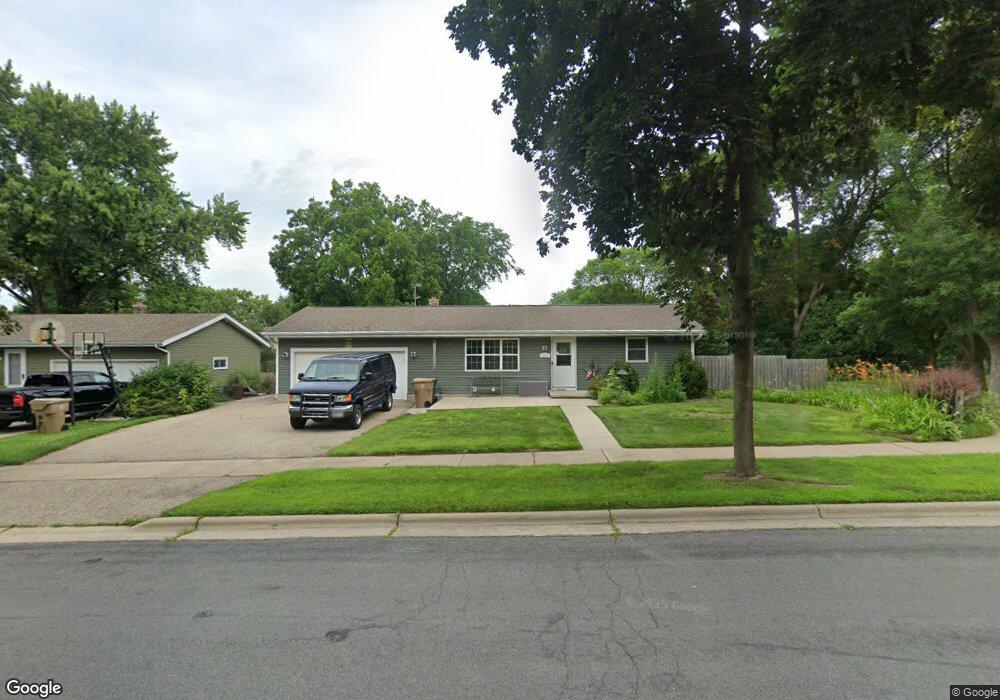
4210 Derek Rd Madison, WI 53704
Greater Sandburg NeighborhoodEstimated Value: $359,624 - $378,000
2
Beds
1
Bath
984
Sq Ft
$375/Sq Ft
Est. Value
About This Home
This home is located at 4210 Derek Rd, Madison, WI 53704 and is currently estimated at $369,406, approximately $375 per square foot. 4210 Derek Rd is a home located in Dane County with nearby schools including Sandburg Elementary School, Sherman Middle School, and East High School.
Ownership History
Date
Name
Owned For
Owner Type
Purchase Details
Closed on
Oct 30, 2023
Sold by
Kusse Fred C and Kusse Carol
Bought by
Kusse Fred C
Current Estimated Value
Purchase Details
Closed on
Oct 3, 2011
Sold by
Kusse Fred and Kusse Carol
Bought by
Kusse Fred C and Kusse Carol
Home Financials for this Owner
Home Financials are based on the most recent Mortgage that was taken out on this home.
Original Mortgage
$155,495
Interest Rate
4.4%
Mortgage Type
FHA
Purchase Details
Closed on
Jul 24, 2007
Sold by
Mielke Gary
Bought by
Champine Carol and Kusse Fred
Home Financials for this Owner
Home Financials are based on the most recent Mortgage that was taken out on this home.
Original Mortgage
$156,655
Interest Rate
6.73%
Mortgage Type
New Conventional
Create a Home Valuation Report for This Property
The Home Valuation Report is an in-depth analysis detailing your home's value as well as a comparison with similar homes in the area
Home Values in the Area
Average Home Value in this Area
Purchase History
| Date | Buyer | Sale Price | Title Company |
|---|---|---|---|
| Kusse Fred C | -- | None Listed On Document | |
| Kusse Fred C | -- | None Available | |
| Champine Carol | $164,900 | Knight Barry Title Svcs Llc |
Source: Public Records
Mortgage History
| Date | Status | Borrower | Loan Amount |
|---|---|---|---|
| Previous Owner | Kusse Fred C | $155,495 | |
| Previous Owner | Champine Carol | $156,655 |
Source: Public Records
Tax History
| Year | Tax Paid | Tax Assessment Tax Assessment Total Assessment is a certain percentage of the fair market value that is determined by local assessors to be the total taxable value of land and additions on the property. | Land | Improvement |
|---|---|---|---|---|
| 2024 | $10,420 | $314,200 | $83,700 | $230,500 |
| 2023 | $4,853 | $288,300 | $76,800 | $211,500 |
| 2022 | $9,475 | $257,400 | $76,800 | $180,600 |
| 2021 | $4,466 | $225,800 | $67,400 | $158,400 |
| 2020 | $4,468 | $211,000 | $63,000 | $148,000 |
| 2019 | $4,193 | $199,100 | $59,400 | $139,700 |
| 2018 | $4,045 | $191,400 | $59,400 | $132,000 |
| 2017 | $3,842 | $174,000 | $54,000 | $120,000 |
| 2016 | $3,780 | $167,300 | $54,000 | $113,300 |
| 2015 | $3,691 | $156,200 | $49,900 | $106,300 |
| 2014 | $3,575 | $156,200 | $49,900 | $106,300 |
| 2013 | $3,816 | $159,400 | $50,900 | $108,500 |
Source: Public Records
Map
Nearby Homes
- 2610 Green Ridge Dr
- 2404 Independence Ln Unit 204
- 4338 Melody Ln Unit 207
- 4318 Melody Ln Unit 204
- 2416 Independence Ln Unit 206
- 4318 Melody Ln Unit 104
- 4326 Melody Ln Unit 202
- 2420 Independence Ln Unit 212
- 4322 Melody Ln Unit 6
- 3202 Basil Dr
- 3614 Portage Rd
- 3618 Portage Rd
- 3622 Portage Rd
- 3626 Portage Rd
- 3704 Portage Rd
- 3528 Old Gate Rd
- 3708 Portage Rd
- 4307 Bellgrove Ln
- 5525 Portage Rd
- 5332 Congress Ave Unit 4
Your Personal Tour Guide
Ask me questions while you tour the home.