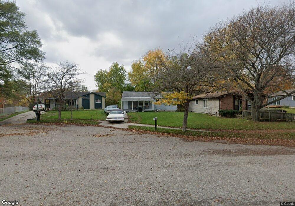
4210 Killarney Ct Lansing, MI 48911
Lansing-Eaton NeighborhoodEstimated Value: $109,000 - $146,000
3
Beds
1
Bath
878
Sq Ft
$145/Sq Ft
Est. Value
About This Home
This home is located at 4210 Killarney Ct, Lansing, MI 48911 and is currently estimated at $127,441, approximately $145 per square foot. 4210 Killarney Ct is a home located in Eaton County with nearby schools including Averill Elementary School, Attwood School, and J.W. Sexton High School.
Ownership History
Date
Name
Owned For
Owner Type
Purchase Details
Closed on
Mar 15, 2018
Sold by
Beaver Lake Properties Llc
Bought by
Fox Land Holdings Llc
Current Estimated Value
Purchase Details
Closed on
Apr 28, 2009
Sold by
Mortgage Electronic Registration Systems
Bought by
Federal National Mortgage Association
Purchase Details
Closed on
Apr 23, 2009
Sold by
Benitez Jorge Sierra and Perez Magda Castillo
Bought by
Mortgage Electronic Registration Systems
Create a Home Valuation Report for This Property
The Home Valuation Report is an in-depth analysis detailing your home's value as well as a comparison with similar homes in the area
Home Values in the Area
Average Home Value in this Area
Purchase History
| Date | Buyer | Sale Price | Title Company |
|---|---|---|---|
| Fox Land Holdings Llc | -- | Sun Title Agency Llc | |
| Federal National Mortgage Association | -- | None Available | |
| Mortgage Electronic Registration Systems | $84,538 | None Available |
Source: Public Records
Tax History
| Year | Tax Paid | Tax Assessment Tax Assessment Total Assessment is a certain percentage of the fair market value that is determined by local assessors to be the total taxable value of land and additions on the property. | Land | Improvement |
|---|---|---|---|---|
| 2025 | $2,952 | $51,200 | $0 | $0 |
| 2024 | $5,271 | $45,800 | $0 | $0 |
| 2023 | $5,271 | $42,800 | $0 | $0 |
| 2022 | $2,567 | $38,500 | $0 | $0 |
| 2021 | $2,471 | $36,300 | $0 | $0 |
| 2020 | $2,456 | $33,700 | $0 | $0 |
| 2019 | $2,403 | $30,800 | $0 | $0 |
| 2018 | $2,179 | $28,900 | $0 | $0 |
| 2017 | $2,140 | $28,400 | $0 | $0 |
| 2016 | $1,766 | $28,200 | $0 | $0 |
| 2015 | -- | $28,200 | $0 | $0 |
| 2014 | -- | $28,900 | $0 | $0 |
| 2013 | -- | $29,900 | $0 | $0 |
Source: Public Records
Map
Nearby Homes
- 4130 Windward Dr
- 4400 Chadburne Dr
- 3725 Alpine Dr
- 3700 W Holmes Rd
- 3536 Maybel St
- 2800 S Waverly Rd
- 3214 Rayborn Dr
- 3428 W Jolly Rd
- 3618 Malibu Dr
- 3214 Raynell St
- 3100 Glenbrook Dr
- 3600 Sandhurst Dr
- 3112 Shetland Rd
- 5424 S Waverly Rd
- 3230 S Deerfield Ave
- 3401 S Deerfield Ave
- 2 Locust Ln
- 4632 Old Lansing Rd
- 0 S Deerfield Ave
- 5012 Westhill Dr
- 4206 Killarney Ct
- 4214 Killarney Ct
- 4101 Heathgate Dr
- 4218 Killarney Ct
- 4113 Heathgate Dr
- 4109 Heathgate Dr
- 4222 Killarney Ct
- 4117 Heathgate Dr
- 4211 Killarney Ct
- 4223 Killarney Ct
- 4053 Heathgate Dr
- 4215 Killarney Ct
- 4219 Killarney Ct
- 4123 Heathgate Dr
- 4112 Heathgate Dr
- 4106 Heathgate Dr
- 4127 Heathgate Dr
- 4047 Heathgate Dr
Your Personal Tour Guide
Ask me questions while you tour the home.