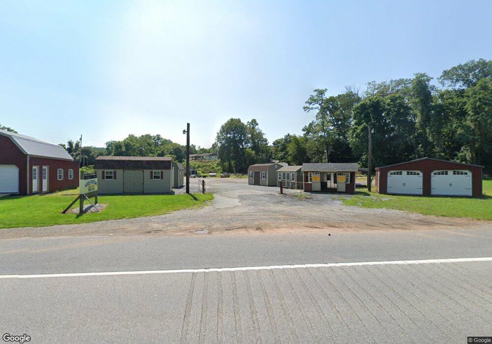
4210 Lewisberry Rd Lewisberry, PA 17339
Estimated Value: $537,681
--
Bed
--
Bath
1,056
Sq Ft
$509/Sq Ft
Est. Value
About This Home
This home is located at 4210 Lewisberry Rd, Lewisberry, PA 17339 and is currently estimated at $537,681, approximately $509 per square foot. 4210 Lewisberry Rd is a home located in York County with nearby schools including Newberry Elementary School, Allen Middle School, and Red Land Senior High School.
Ownership History
Date
Name
Owned For
Owner Type
Purchase Details
Closed on
May 30, 2023
Sold by
Dorwart Holdings Llc
Bought by
Panty Mark and Panty Janice K
Current Estimated Value
Home Financials for this Owner
Home Financials are based on the most recent Mortgage that was taken out on this home.
Original Mortgage
$1,291,934
Outstanding Balance
$1,257,388
Interest Rate
6.39%
Mortgage Type
Seller Take Back
Estimated Equity
-$719,707
Purchase Details
Closed on
May 31, 2022
Sold by
Fisher Paul A and Fisher Susan J
Bought by
Dorwart Holdings Llc
Purchase Details
Closed on
Feb 20, 1975
Bought by
Fisher Paul A and Fisher Susan J
Create a Home Valuation Report for This Property
The Home Valuation Report is an in-depth analysis detailing your home's value as well as a comparison with similar homes in the area
Home Values in the Area
Average Home Value in this Area
Purchase History
| Date | Buyer | Sale Price | Title Company |
|---|---|---|---|
| Panty Mark | $480,000 | None Listed On Document | |
| Dorwart Holdings Llc | $400,000 | None Listed On Document | |
| Fisher Paul A | $100 | -- |
Source: Public Records
Mortgage History
| Date | Status | Borrower | Loan Amount |
|---|---|---|---|
| Open | Panty Mark | $1,291,934 |
Source: Public Records
Tax History Compared to Growth
Tax History
| Year | Tax Paid | Tax Assessment Tax Assessment Total Assessment is a certain percentage of the fair market value that is determined by local assessors to be the total taxable value of land and additions on the property. | Land | Improvement |
|---|---|---|---|---|
| 2025 | $1,792 | $64,680 | $46,990 | $17,690 |
| 2024 | $2,342 | $64,680 | $46,990 | $17,690 |
| 2023 | $1,442 | $58,240 | $46,990 | $11,250 |
| 2022 | $1,438 | $58,240 | $46,990 | $11,250 |
| 2021 | $1,355 | $58,240 | $46,990 | $11,250 |
| 2020 | $1,339 | $58,240 | $46,990 | $11,250 |
| 2019 | $1,305 | $58,240 | $46,990 | $11,250 |
| 2018 | $1,294 | $58,240 | $46,990 | $11,250 |
| 2017 | $1,259 | $58,240 | $46,990 | $11,250 |
| 2016 | $0 | $58,240 | $46,990 | $11,250 |
| 2015 | -- | $58,240 | $46,990 | $11,250 |
| 2014 | -- | $58,240 | $46,990 | $11,250 |
Source: Public Records
Map
Nearby Homes
- 302 W Front St
- 0 Silver Lake Rd Unit PAYK2089288
- 320 E Front St
- 910 Emanuel Rd
- 833 Stonybrook Ln
- 720 Pleasant Dr
- 701 Potts Hill Rd
- 855 Garriston Rd
- 85 Redstone Dr
- 15 Cedar Dr
- 633 Potts Hill Rd
- 300 Ridge Rd
- 300 Ridge Rd Unit 42
- 450 Ridge Rd Unit 7
- 1441 Erney Rd
- 719 Pleasant View Rd
- 0 Lewisberry Rd
- 945 Old Quaker Rd
- 19 York Rd
- 85 Hilldale Rd
- 4020 Lewisberry Rd
- 840 Old Rossville Rd
- 850 Old Rossville Rd
- 3980 Lewisberry Rd
- 480 Rosstown Rd
- 3945 Lewisberry Rd
- 104 W Front St
- 210 W Front St
- 212 W Front St
- 208 W Front St
- 108 W Front St
- 108 W Front St Unit D
- 206 W Front St
- 204 W Front St
- 106 W Front St
- 304 W Front St
- 903 Rosstown Rd
- 306 W Front St
- 308 W Front St
- 207 E Front St