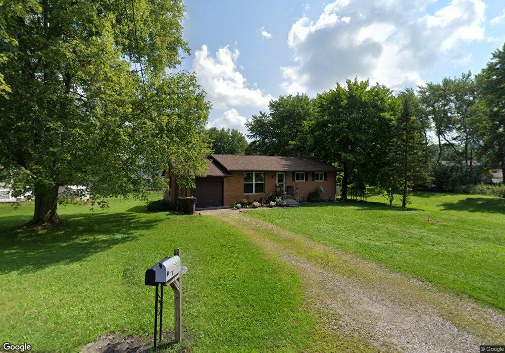
4210 Siefer Dr Rootstown, OH 44272
Estimated Value: $151,000 - $196,000
3
Beds
1
Bath
1,080
Sq Ft
$162/Sq Ft
Est. Value
About This Home
This home is located at 4210 Siefer Dr, Rootstown, OH 44272 and is currently estimated at $175,378, approximately $162 per square foot. 4210 Siefer Dr is a home located in Portage County with nearby schools including Rootstown Middle School - Schnee Building and Rootstown High School.
Ownership History
Date
Name
Owned For
Owner Type
Purchase Details
Closed on
May 12, 2004
Sold by
Scurka Mark and Scurka Michael
Bought by
Faulhaber Tina L
Current Estimated Value
Home Financials for this Owner
Home Financials are based on the most recent Mortgage that was taken out on this home.
Original Mortgage
$92,150
Outstanding Balance
$43,600
Interest Rate
5.63%
Mortgage Type
Purchase Money Mortgage
Estimated Equity
$131,778
Purchase Details
Closed on
Dec 17, 2003
Sold by
Estate Of Frances Scurka
Bought by
Scurka Michael and Scurka Mark
Purchase Details
Closed on
Jun 19, 1990
Bought by
Scurka Frances
Create a Home Valuation Report for This Property
The Home Valuation Report is an in-depth analysis detailing your home's value as well as a comparison with similar homes in the area
Home Values in the Area
Average Home Value in this Area
Purchase History
| Date | Buyer | Sale Price | Title Company |
|---|---|---|---|
| Faulhaber Tina L | $97,000 | Approved Statewide Title Age | |
| Scurka Michael | -- | -- | |
| Scurka Frances | -- | -- |
Source: Public Records
Mortgage History
| Date | Status | Borrower | Loan Amount |
|---|---|---|---|
| Open | Faulhaber Tina L | $92,150 |
Source: Public Records
Tax History Compared to Growth
Tax History
| Year | Tax Paid | Tax Assessment Tax Assessment Total Assessment is a certain percentage of the fair market value that is determined by local assessors to be the total taxable value of land and additions on the property. | Land | Improvement |
|---|---|---|---|---|
| 2024 | $2,081 | $51,380 | $7,280 | $44,100 |
| 2023 | $1,918 | $37,140 | $7,280 | $29,860 |
| 2022 | $1,670 | $37,140 | $7,280 | $29,860 |
| 2021 | $1,664 | $37,140 | $7,280 | $29,860 |
| 2020 | $1,536 | $33,010 | $7,280 | $25,730 |
| 2019 | $1,541 | $33,010 | $7,280 | $25,730 |
| 2018 | $1,535 | $29,930 | $7,280 | $22,650 |
| 2017 | $1,472 | $29,930 | $7,280 | $22,650 |
| 2016 | $1,439 | $29,930 | $7,280 | $22,650 |
| 2015 | $1,455 | $29,930 | $7,280 | $22,650 |
| 2014 | $1,482 | $29,930 | $7,280 | $22,650 |
| 2013 | $1,472 | $29,930 | $7,280 | $22,650 |
Source: Public Records
Map
Nearby Homes
- 0 Lynn Rd Unit 5110102
- 4326 Clover Dr
- 3987 J A Vaughn Ave
- 0 New Milford Rd Unit 11489599
- 0 New Milford Rd Unit 5108183
- V/L 2 Lynn Rd
- V/L Lynn Rd
- 4691 Scenic Dr
- 0 Rootstown Rd Unit 5173350
- 4770 Valley Hills Dr
- sub lot Lane Ave
- 3807 Industry Rd
- 3401 Biltz Rd
- 3637 Old Forge Rd
- 3136 Bird Dr
- 5700 S Prospect St
- 3021 Hartville Rd
- 5498 Edwards Rd
- 668 Westbrook Ct
- 5387 State Route 14