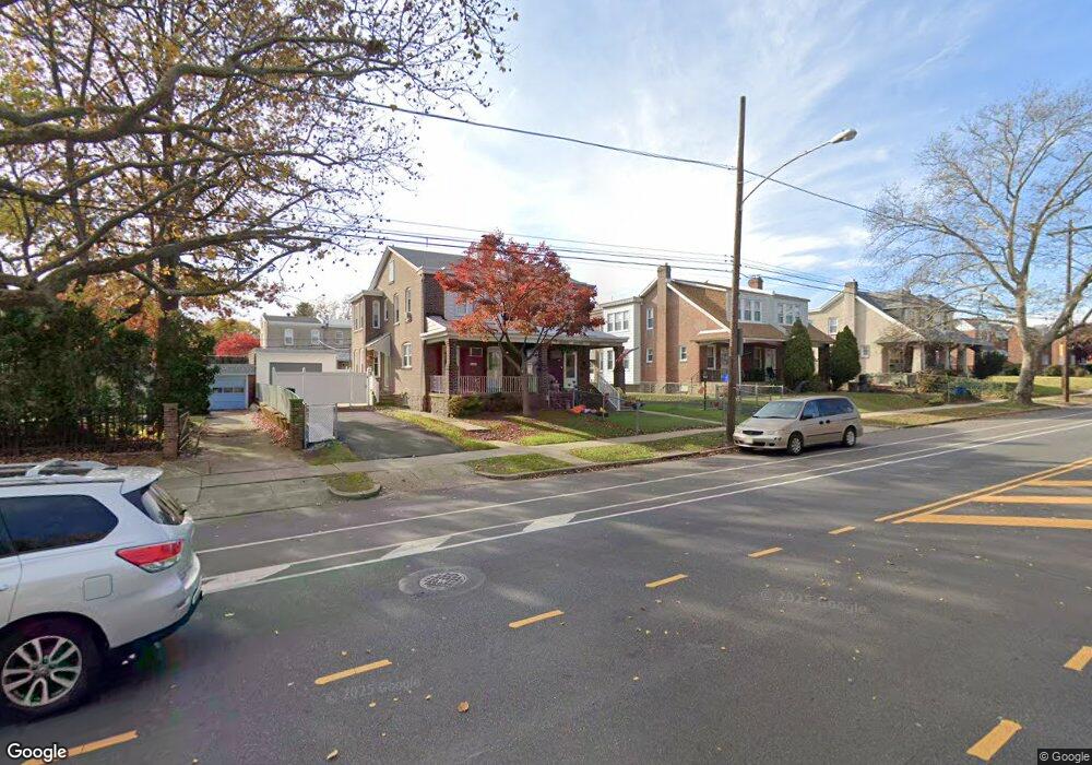
4210 Tyson Ave Philadelphia, PA 19135
Tacony NeighborhoodEstimated Value: $278,374 - $314,000
4
Beds
1
Bath
1,750
Sq Ft
$167/Sq Ft
Est. Value
About This Home
This home is located at 4210 Tyson Ave, Philadelphia, PA 19135 and is currently estimated at $291,844, approximately $166 per square foot. 4210 Tyson Ave is a home located in Philadelphia County with nearby schools including Lincoln High School, Disston Hamilton School, and Keystone Academy Charter School.
Ownership History
Date
Name
Owned For
Owner Type
Purchase Details
Closed on
Jan 30, 2004
Sold by
Sirianni Catherine G and Schmidt Sandra M
Bought by
Wolstenholme Richard and Wolstenholme Sanyaann
Current Estimated Value
Home Financials for this Owner
Home Financials are based on the most recent Mortgage that was taken out on this home.
Original Mortgage
$114,000
Outstanding Balance
$53,428
Interest Rate
5.82%
Mortgage Type
Purchase Money Mortgage
Estimated Equity
$238,416
Create a Home Valuation Report for This Property
The Home Valuation Report is an in-depth analysis detailing your home's value as well as a comparison with similar homes in the area
Home Values in the Area
Average Home Value in this Area
Purchase History
| Date | Buyer | Sale Price | Title Company |
|---|---|---|---|
| Wolstenholme Richard | $120,000 | -- |
Source: Public Records
Mortgage History
| Date | Status | Borrower | Loan Amount |
|---|---|---|---|
| Open | Wolstenholme Richard | $114,000 |
Source: Public Records
Tax History Compared to Growth
Tax History
| Year | Tax Paid | Tax Assessment Tax Assessment Total Assessment is a certain percentage of the fair market value that is determined by local assessors to be the total taxable value of land and additions on the property. | Land | Improvement |
|---|---|---|---|---|
| 2025 | $3,484 | $282,000 | $56,400 | $225,600 |
| 2024 | $3,484 | $282,000 | $56,400 | $225,600 |
| 2023 | $3,484 | $248,900 | $49,780 | $199,120 |
| 2022 | $2,854 | $203,900 | $49,780 | $154,120 |
| 2021 | $2,602 | $0 | $0 | $0 |
| 2020 | $2,602 | $0 | $0 | $0 |
| 2019 | $2,497 | $0 | $0 | $0 |
| 2018 | $1,904 | $0 | $0 | $0 |
| 2017 | $2,324 | $0 | $0 | $0 |
| 2016 | $1,904 | $0 | $0 | $0 |
| 2015 | $1,822 | $0 | $0 | $0 |
| 2014 | -- | $166,000 | $62,755 | $103,245 |
| 2012 | -- | $17,984 | $2,844 | $15,140 |
Source: Public Records
Map
Nearby Homes
- 4224 Disston St
- 4306 Disston St
- 7033 Charles St
- 4323 Disston St
- 7019 Algard St
- 4322 Longshore Ave
- 7040 Cottage St
- 7117 Charles St
- 7009 Gillespie St
- 7127 Montague St
- 7034 Gillespie St
- 3412 Tyson Ave
- 6833 Cottage St
- 7139 Charles St
- 7133 Walker St
- 7140 Erdrick St
- 7122 Gillespie St
- 3346 Longshore Ave
- 4100 Knorr Ct Unit J
- 3333 Disston St
- 4208 Tyson Ave
- 4212 Tyson Ave
- 4206 Tyson Ave
- 4214 Tyson Ave Unit 16
- 4202 Tyson Ave
- 4211 Disston St
- 4213 Disston St
- 4209 Disston St
- 4215 Disston St
- 4218 Tyson Ave
- 4207 Disston St
- 4200 Tyson Ave
- 4217 Disston St
- 4205 Disston St
- 4219 Disston St
- 4220 Tyson Ave
- 4203 Disston St
- 4221 Disston St
- 4201 Disston St
- 4222 Tyson Ave