4210 Us Highway 281 N Spring Branch, TX 78070
Far North San Antonio NeighborhoodEstimated Value: $889,000 - $1,335,000
--
Bed
2
Baths
7,458
Sq Ft
$142/Sq Ft
Est. Value
About This Home
This home is located at 4210 Us Highway 281 N, Spring Branch, TX 78070 and is currently estimated at $1,059,510, approximately $142 per square foot. 4210 Us Highway 281 N is a home located in Comal County with nearby schools including Bill Brown Elementary School, Smithson Valley Middle School, and Smithson Valley High School.
Ownership History
Date
Name
Owned For
Owner Type
Purchase Details
Closed on
Feb 20, 2013
Sold by
Warren Garren and Estate Of Marian J Warren
Bought by
Warren Thomas W
Current Estimated Value
Purchase Details
Closed on
Dec 1, 2011
Sold by
Troxel Stacy W
Bought by
Warren Marian Leonard and Warren Thomas W
Home Financials for this Owner
Home Financials are based on the most recent Mortgage that was taken out on this home.
Original Mortgage
$500,000
Interest Rate
4.14%
Mortgage Type
Purchase Money Mortgage
Create a Home Valuation Report for This Property
The Home Valuation Report is an in-depth analysis detailing your home's value as well as a comparison with similar homes in the area
Home Values in the Area
Average Home Value in this Area
Purchase History
| Date | Buyer | Sale Price | Title Company |
|---|---|---|---|
| Warren Thomas W | -- | None Available | |
| Warren Marian Leonard | -- | Presidio Title |
Source: Public Records
Mortgage History
| Date | Status | Borrower | Loan Amount |
|---|---|---|---|
| Closed | Warren Marian Leonard | $500,000 |
Source: Public Records
Tax History Compared to Growth
Tax History
| Year | Tax Paid | Tax Assessment Tax Assessment Total Assessment is a certain percentage of the fair market value that is determined by local assessors to be the total taxable value of land and additions on the property. | Land | Improvement |
|---|---|---|---|---|
| 2025 | $15,974 | $1,302,425 | $1,121,420 | $181,005 |
| 2024 | $15,974 | $1,095,500 | $882,897 | $212,603 |
| 2023 | $15,974 | $775,000 | $627,151 | $147,849 |
| 2022 | $14,419 | $775,000 | $627,151 | $147,849 |
| 2021 | $12,760 | $649,883 | $457,830 | $192,053 |
| 2020 | $14,540 | $715,230 | $457,830 | $257,400 |
| 2019 | $14,699 | $717,830 | $457,830 | $260,000 |
| 2018 | $13,878 | $682,240 | $457,830 | $224,410 |
| 2017 | $14,017 | $694,820 | $457,830 | $236,990 |
| 2016 | $13,757 | $681,890 | $457,830 | $224,060 |
Source: Public Records
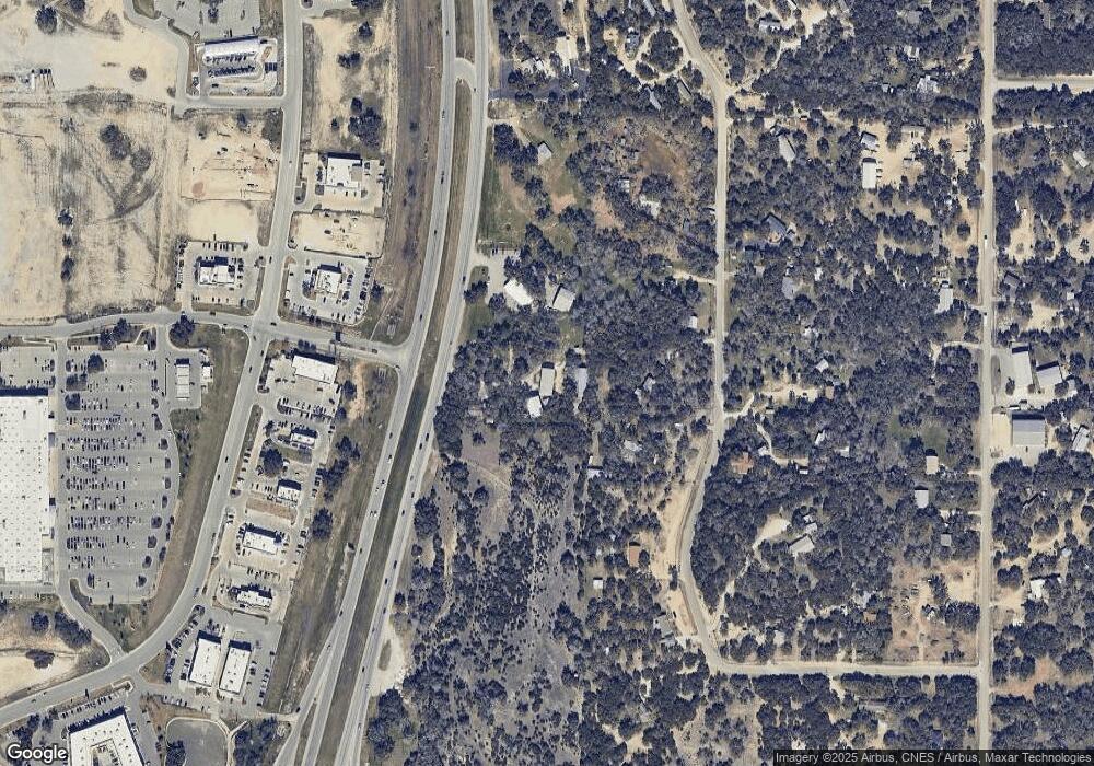
Map
Nearby Homes
- 173 Berry Oaks Dr
- 212 Wentworth
- 3011 River Way
- 316 Ballad Bluffs
- 428 Whistlers Way
- 537 Allegro Edge
- 513 Concerto Ct
- 517 Concerto Ct
- 221 Treble Knoll
- 225 Treble Knoll
- 313 Canon Hill Dr
- 324 Rhapsody Ridge
- 333 Canon Hill Dr
- 329 Chorus Canyon
- 321 Bentwood Dr
- 142 Bentwood Dr
- 288 Sonata Canyon
- 151 Player Ridge
- 811 Stirrup Dr
- 0 Windmill Way Unit 1853082
- 3020 View Ridge Dr
- 4360 Us Highway 281 N
- 3022 View Ridge Dr
- 3011 View Ridge Dr
- 3019 View Ridge Dr
- 3006 View Ridge Dr
- 3013 View Ridge Dr Unit GRACE HOUSE
- 3013 View Ridge Dr
- 3015 View Ridge Dr
- 3007 View Ridge Dr
- 3034 View Ridge Dr
- 2011 Mount Joy Dr
- 3002 View Ridge Dr
- 1028 Rainbow Dr
- 1024 Rainbow Dr
- 1016 Rainbow Dr
- 2007 Mount Joy Dr
- 1020 Rainbow Dr
- 1014 Rainbow Dr
- 4476 Us-281 N