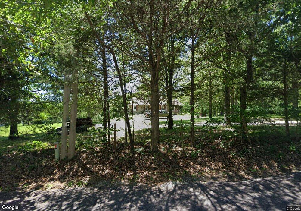
4211 Amy Clark Rd Hillsboro, MO 63050
Estimated Value: $320,000 - $362,160
4
Beds
3
Baths
1,508
Sq Ft
$228/Sq Ft
Est. Value
About This Home
This home is located at 4211 Amy Clark Rd, Hillsboro, MO 63050 and is currently estimated at $344,290, approximately $228 per square foot. 4211 Amy Clark Rd is a home located in Jefferson County with nearby schools including Hillsboro Primary School, Hillsboro Elementary School, and Hillsboro Middle Elementary School.
Ownership History
Date
Name
Owned For
Owner Type
Purchase Details
Closed on
May 30, 2008
Sold by
Jones Gregory B and Jones Mariann
Bought by
Mabrey Roger Payne
Current Estimated Value
Home Financials for this Owner
Home Financials are based on the most recent Mortgage that was taken out on this home.
Original Mortgage
$154,400
Outstanding Balance
$98,748
Interest Rate
6.07%
Mortgage Type
Purchase Money Mortgage
Estimated Equity
$245,542
Create a Home Valuation Report for This Property
The Home Valuation Report is an in-depth analysis detailing your home's value as well as a comparison with similar homes in the area
Home Values in the Area
Average Home Value in this Area
Purchase History
| Date | Buyer | Sale Price | Title Company |
|---|---|---|---|
| Mabrey Roger Payne | -- | Investors Title Co |
Source: Public Records
Mortgage History
| Date | Status | Borrower | Loan Amount |
|---|---|---|---|
| Open | Mabrey Roger Payne | $154,400 |
Source: Public Records
Tax History Compared to Growth
Tax History
| Year | Tax Paid | Tax Assessment Tax Assessment Total Assessment is a certain percentage of the fair market value that is determined by local assessors to be the total taxable value of land and additions on the property. | Land | Improvement |
|---|---|---|---|---|
| 2025 | $1,719 | $30,500 | $8,000 | $22,500 |
| 2024 | $1,719 | $28,500 | $8,000 | $20,500 |
| 2023 | $1,719 | $28,500 | $8,000 | $20,500 |
| 2022 | $1,728 | $28,500 | $8,000 | $20,500 |
| 2021 | $1,857 | $28,500 | $8,000 | $20,500 |
| 2020 | $1,733 | $25,800 | $7,300 | $18,500 |
| 2019 | $1,732 | $25,800 | $7,300 | $18,500 |
| 2018 | $1,735 | $25,800 | $7,300 | $18,500 |
| 2017 | $1,650 | $25,800 | $7,300 | $18,500 |
| 2016 | $1,611 | $24,100 | $7,300 | $16,800 |
| 2015 | $1,569 | $24,100 | $7,300 | $16,800 |
| 2013 | $1,569 | $23,400 | $6,600 | $16,800 |
Source: Public Records
Map
Nearby Homes
- 4477 White Rock Rd
- 127 N Lake Dr
- 10610 Stroup Rd
- 4453 Mockingbird Ln
- 9904 Lockeport Point
- 9873 Goldman Rd
- 4 Cedar Creek
- 4625 Cedar Dr
- 6005 Elm
- 10284 Micah Ln
- 4295 Hansard Ln
- 569 Karen Dr
- 10430 Business 21
- 712 Maple St
- 11739 Argonne Rd
- 719 Camelot Estates Dr
- 5319 Victory Farm Rd
- 5408 Lakeview Ln
- 11247 Mapaville Hematite Rd
- 32 Ridgewood Dr
- 4401 Amy Clark Rd
- 4209 Amy Clark Rd
- 10401 Roland Dr
- 10413 Roland Dr
- 4455 Amy Clark Rd
- 4171 Amy Clark Rd
- 4171 Amy Clark Rd
- 4115 Amy Clark Rd
- 4107 Amy Clark Rd
- 0LOT 2 Buckeye Rd
- 10+/-AC Buckeye Rd
- 10832 Buckeye Rd
- 10604 Buckeye Rd
- 10623 Buckeye Rd
- 10633 Buckeye Rd
- 4501 White Rock Rd
- 267 N Lake Dr
- 303 N Lake Dr
- 299 N Lake Dr
- 259 N Lake Dr