4211 Battle Ridge Rd Mc Donald, PA 15057
Estimated Value: $548,000
3
Beds
2
Baths
1,680
Sq Ft
$326/Sq Ft
Est. Value
About This Home
This home is located at 4211 Battle Ridge Rd, Mc Donald, PA 15057 and is currently priced at $548,000, approximately $326 per square foot. 4211 Battle Ridge Rd is a home located in Allegheny County with nearby schools including South Fayette Elementary School, South Fayette Intermediate School, and South Fayette Middle School.
Ownership History
Date
Name
Owned For
Owner Type
Purchase Details
Closed on
Sep 23, 2024
Sold by
Kosky John Jr Est and Kosky Madeline
Bought by
Kosky John Alan
Current Estimated Value
Purchase Details
Closed on
Sep 4, 2024
Sold by
Kosky John and Kosky Madeline
Bought by
Kosky John Alan
Purchase Details
Closed on
Dec 20, 2018
Sold by
Kosky John and Kosky Madeline
Bought by
Cuddy Partners Lp
Purchase Details
Closed on
Dec 19, 2018
Sold by
Kosky John and Kosky Madeline
Bought by
Kosky John Alan and Kosky Stacy
Purchase Details
Closed on
Jul 18, 1988
Bought by
Kosky John and Kosky Madeline
Create a Home Valuation Report for This Property
The Home Valuation Report is an in-depth analysis detailing your home's value as well as a comparison with similar homes in the area
Home Values in the Area
Average Home Value in this Area
Purchase History
| Date | Buyer | Sale Price | Title Company |
|---|---|---|---|
| Kosky John Alan | -- | -- | |
| Kosky John Alan | -- | -- | |
| Cuddy Partners Lp | $20,000 | None Available | |
| Kosky John Alan | -- | None Available | |
| Kosky John | $64,000 | -- |
Source: Public Records
Tax History Compared to Growth
Tax History
| Year | Tax Paid | Tax Assessment Tax Assessment Total Assessment is a certain percentage of the fair market value that is determined by local assessors to be the total taxable value of land and additions on the property. | Land | Improvement |
|---|---|---|---|---|
| 2025 | $3,164 | $87,500 | $87,500 | -- |
| 2024 | $3,164 | $87,500 | $87,500 | -- |
| 2023 | $3,164 | $87,500 | $87,500 | $0 |
| 2022 | $3,164 | $87,500 | $87,500 | $0 |
| 2021 | $414 | $87,500 | $87,500 | $0 |
| 2020 | $3,164 | $87,500 | $87,500 | $0 |
| 2019 | $3,414 | $87,500 | $87,500 | $0 |
| 2018 | $1,176 | $124,300 | $94,400 | $29,900 |
| 2017 | $4,492 | $125,100 | $95,200 | $29,900 |
| 2016 | $592 | $125,100 | $95,200 | $29,900 |
| 2015 | $592 | $125,100 | $95,200 | $29,900 |
| 2014 | $4,181 | $125,100 | $95,200 | $29,900 |
Source: Public Records
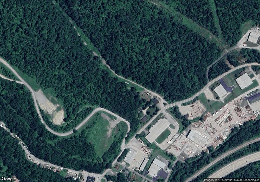
Map
Nearby Homes
- 2100 Crestwood Dr
- 4184 Battle Ridge Rd
- 1021 Stonegate Dr
- 4132 Battle Ridge Rd
- 4462 Walnut Ridge Cir
- 5418 Forest Edge Dr
- 5416 Forest Edge Dr
- 5812 Windsor Dr
- 8059 Hinsdale Ln
- 2033 Field Stone Dr
- 2006 Field Stone Dr
- 3103 Deerfield Ridge Dr
- 3105 Deerfield Ridge Dr
- 1006 Stonegate Dr
- 304 Battery Dr N
- 4401 Battle Ridge Rd
- Carlisle Plan at Stonegate
- Tucson Plan at Stonegate
- Hoover Plan at Stonegate
- Waterloo Plan at Stonegate
- 4211 Battle Ridge Rd
- 2001 Sterling Dr
- 0 Battle Ridge Rd Unit 1001788
- 0 Battle Ridge Rd Unit 1010113
- 0 Battle Ridge Rd Unit 1258824
- 0 Battle Ridge Rd Unit 869301
- 0 Battle Ridge Rd Unit 902274
- 0 Battle Ridge Rd Unit 914950
- 2003 Sterling Dr
- 4216 Battle Ridge Rd
- 2005 Sterling Dr
- 2000 Sterling Dr
- 4218 Battle Ridge Rd
- 2002 Sterling Dr
- 2007 Sterling Dr
- 4206 Battle Ridge Rd
- 4205 Battle Ridge Rd
- 2011 Sterling Dr
- 2013 Sterling Dr
- 2004 Sterling Dr