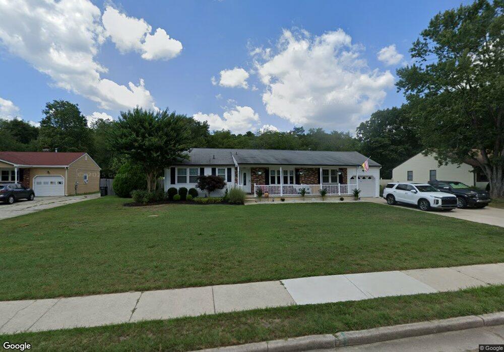
4211 Fairway Dr Mays Landing, NJ 08330
Estimated Value: $366,000 - $415,000
--
Bed
--
Bath
1,404
Sq Ft
$275/Sq Ft
Est. Value
About This Home
This home is located at 4211 Fairway Dr, Mays Landing, NJ 08330 and is currently estimated at $385,914, approximately $274 per square foot. 4211 Fairway Dr is a home located in Atlantic County with nearby schools including George L. Hess Educational Complex, Joseph Shaner School, and William Davies Middle School.
Ownership History
Date
Name
Owned For
Owner Type
Purchase Details
Closed on
Jul 24, 2010
Sold by
Dolan Kevin
Bought by
Dolan Kevin and Leiman Denise
Current Estimated Value
Purchase Details
Closed on
Nov 21, 2007
Sold by
Steelman Andrew D and Mills Dana D
Bought by
Dolan Kevin
Home Financials for this Owner
Home Financials are based on the most recent Mortgage that was taken out on this home.
Original Mortgage
$135,000
Outstanding Balance
$85,592
Interest Rate
6.42%
Mortgage Type
Purchase Money Mortgage
Estimated Equity
$300,322
Purchase Details
Closed on
May 24, 2004
Sold by
Dehope Catherine
Bought by
Steelman Andrew D and Mills Dana D
Home Financials for this Owner
Home Financials are based on the most recent Mortgage that was taken out on this home.
Original Mortgage
$151,200
Interest Rate
5.88%
Mortgage Type
Balloon
Purchase Details
Closed on
May 15, 1989
Sold by
Rametta Michael and Rametta Maria C
Bought by
Dehope George and Dehope Catherine
Create a Home Valuation Report for This Property
The Home Valuation Report is an in-depth analysis detailing your home's value as well as a comparison with similar homes in the area
Home Values in the Area
Average Home Value in this Area
Purchase History
| Date | Buyer | Sale Price | Title Company |
|---|---|---|---|
| Dolan Kevin | -- | None Available | |
| Dolan Kevin | $242,000 | Fidelity Natl Title Ins Co | |
| Steelman Andrew D | $189,000 | The Title Company Of Jersey | |
| Dehope George | $115,000 | -- |
Source: Public Records
Mortgage History
| Date | Status | Borrower | Loan Amount |
|---|---|---|---|
| Open | Dolan Kevin | $135,000 | |
| Previous Owner | Steelman Andrew D | $151,200 |
Source: Public Records
Tax History Compared to Growth
Tax History
| Year | Tax Paid | Tax Assessment Tax Assessment Total Assessment is a certain percentage of the fair market value that is determined by local assessors to be the total taxable value of land and additions on the property. | Land | Improvement |
|---|---|---|---|---|
| 2025 | $6,622 | $193,000 | $52,300 | $140,700 |
| 2024 | $6,622 | $193,000 | $52,300 | $140,700 |
| 2023 | $6,226 | $193,000 | $52,300 | $140,700 |
| 2022 | $6,226 | $193,000 | $52,300 | $140,700 |
| 2021 | $6,213 | $193,000 | $52,300 | $140,700 |
| 2020 | $6,213 | $193,000 | $52,300 | $140,700 |
| 2019 | $6,228 | $193,000 | $52,300 | $140,700 |
| 2018 | $6,010 | $193,000 | $52,300 | $140,700 |
| 2017 | $5,915 | $193,000 | $52,300 | $140,700 |
| 2016 | $5,749 | $193,000 | $52,300 | $140,700 |
| 2015 | $5,555 | $193,000 | $52,300 | $140,700 |
| 2014 | $5,472 | $208,300 | $57,000 | $151,300 |
Source: Public Records
Map
Nearby Homes
- 7 Golf Dr
- 20 Monet Dr
- 66 Monet Dr
- 78 Oakmont Dr
- 94 Baltusrol Dr
- 4127 Black Horse Pike
- 26 Baltusrol Dr
- 124 Amherst Dr
- 197 Pebble Beach Dr
- 182 Pebble Beach Dr
- 277 Greenbriar Ct
- 16 Rue Chagall
- 172 Turnberry Ct
- 218 Burning Tree Ct
- 156 Muirfield Ct
- 8 Rembrandt Way
- 154 Muirfield Ct
- 165 Turnberry Ct
- 134 Glen Eagles Ct
- 7 Renaissance Dr