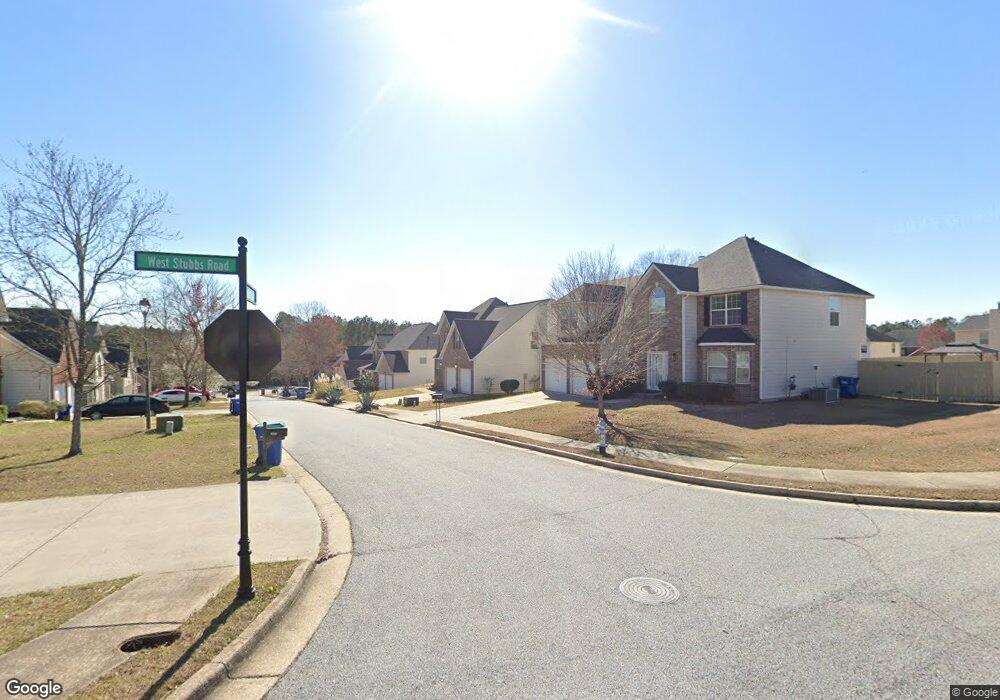
4211 Fortune Point Atlanta, GA 30349
Estimated Value: $337,000 - $377,000
4
Beds
3
Baths
2,961
Sq Ft
$118/Sq Ft
Est. Value
About This Home
This home is located at 4211 Fortune Point, Atlanta, GA 30349 and is currently estimated at $350,219, approximately $118 per square foot. 4211 Fortune Point is a home located in Fulton County with nearby schools including Wolf Creek Elementary, Renaissance Middle School, and Langston Hughes High School.
Ownership History
Date
Name
Owned For
Owner Type
Purchase Details
Closed on
Dec 30, 2004
Sold by
Legacy Communities Of Cooks Landi
Bought by
Madison Arcoliua C and Madison Lenoria
Current Estimated Value
Home Financials for this Owner
Home Financials are based on the most recent Mortgage that was taken out on this home.
Original Mortgage
$183,677
Interest Rate
5.68%
Mortgage Type
VA
Create a Home Valuation Report for This Property
The Home Valuation Report is an in-depth analysis detailing your home's value as well as a comparison with similar homes in the area
Home Values in the Area
Average Home Value in this Area
Purchase History
| Date | Buyer | Sale Price | Title Company |
|---|---|---|---|
| Madison Arcoliua C | $186,600 | -- |
Source: Public Records
Mortgage History
| Date | Status | Borrower | Loan Amount |
|---|---|---|---|
| Previous Owner | Madison Arcoliua C | $183,677 |
Source: Public Records
Tax History Compared to Growth
Tax History
| Year | Tax Paid | Tax Assessment Tax Assessment Total Assessment is a certain percentage of the fair market value that is determined by local assessors to be the total taxable value of land and additions on the property. | Land | Improvement |
|---|---|---|---|---|
| 2025 | $1,750 | $139,520 | $25,520 | $114,000 |
| 2023 | $3,816 | $135,200 | $26,600 | $108,600 |
| 2022 | $1,627 | $107,240 | $19,000 | $88,240 |
| 2021 | $1,551 | $86,800 | $19,160 | $67,640 |
| 2020 | $1,451 | $75,040 | $13,080 | $61,960 |
| 2019 | $1,790 | $76,360 | $15,480 | $60,880 |
| 2018 | $1,867 | $64,200 | $8,600 | $55,600 |
| 2017 | $1,091 | $43,840 | $10,480 | $33,360 |
| 2016 | $1,089 | $43,840 | $10,480 | $33,360 |
| 2015 | $1,093 | $43,840 | $10,480 | $33,360 |
| 2014 | $1,126 | $43,840 | $10,480 | $33,360 |
Source: Public Records
Map
Nearby Homes
- 6843 Foxfire Place
- 6640 E Stubbs Rd
- 6639 Overlook Ridge
- 4247 Butternut Place
- 4224 Butternut Place
- 4369 Estate St
- 4140 Butternut Place
- 4270 Holliday Rd
- 865 Athena Bend
- 337 Mossycup Dr
- 6292 Dekeon Dr
- 0 Jones Rd Unit 10486732
- 0 Jones Rd Unit 7548174
- 6476 Snowden Dr
- 4189 Post Oak Grove
- 4185 Post Oak Grove
- 3985 Demooney Rd
- 3930 Demooney Rd
- 7314 Demeter Dr
- 6684 Crane Ave
- 4215 Fortune Point
- 4207 Fortune Point
- 4219 Fortune Point
- 6792 Foxfire Place
- 4203 Fortune Point
- 4195 W Stubbs Rd
- 6796 Foxfire Place Sw 0
- 6796 Foxfire Place
- 6784 Foxfire Place
- 4214 Fortune Point
- 4202 Fortune Point
- 4202 Fortune Point Unit 4202
- 4210 Fortune Point
- 6800 Foxfire Place
- 4223 Fortune Point
- 4206 Fortune Point
- 0 Fortune Point Unit 8695217
- 0 Fortune Point Unit 8582661
- 0 Fortune Point Unit 8357743
- 0 Fortune Point Unit 8246088