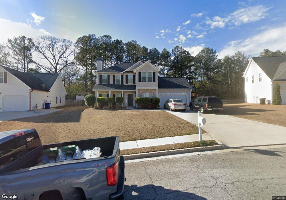
4211 Singletree Dr Unit 1 Douglasville, GA 30135
Anneewakee NeighborhoodEstimated Value: $317,014 - $338,000
3
Beds
3
Baths
1,826
Sq Ft
$178/Sq Ft
Est. Value
About This Home
This home is located at 4211 Singletree Dr Unit 1, Douglasville, GA 30135 and is currently estimated at $324,504, approximately $177 per square foot. 4211 Singletree Dr Unit 1 is a home located in Douglas County with nearby schools including New Manchester Elementary School, Chapel Hill Middle School, and New Manchester High School.
Ownership History
Date
Name
Owned For
Owner Type
Purchase Details
Closed on
May 20, 2005
Sold by
Apex Hm Inc
Bought by
Joe Christopher
Current Estimated Value
Home Financials for this Owner
Home Financials are based on the most recent Mortgage that was taken out on this home.
Original Mortgage
$162,300
Outstanding Balance
$93,434
Interest Rate
7.5%
Mortgage Type
New Conventional
Estimated Equity
$231,070
Create a Home Valuation Report for This Property
The Home Valuation Report is an in-depth analysis detailing your home's value as well as a comparison with similar homes in the area
Home Values in the Area
Average Home Value in this Area
Purchase History
| Date | Buyer | Sale Price | Title Company |
|---|---|---|---|
| Joe Christopher | $162,300 | -- |
Source: Public Records
Mortgage History
| Date | Status | Borrower | Loan Amount |
|---|---|---|---|
| Open | Joe Christopher | $162,300 |
Source: Public Records
Tax History Compared to Growth
Tax History
| Year | Tax Paid | Tax Assessment Tax Assessment Total Assessment is a certain percentage of the fair market value that is determined by local assessors to be the total taxable value of land and additions on the property. | Land | Improvement |
|---|---|---|---|---|
| 2024 | $2,936 | $116,600 | $25,200 | $91,400 |
| 2023 | $2,936 | $116,600 | $25,200 | $91,400 |
| 2022 | $2,590 | $94,480 | $19,240 | $75,240 |
| 2021 | $1,992 | $64,440 | $16,000 | $48,440 |
| 2020 | $2,018 | $64,440 | $16,000 | $48,440 |
| 2019 | $1,609 | $53,400 | $13,680 | $39,720 |
| 2018 | $1,582 | $52,280 | $13,680 | $38,600 |
| 2017 | $1,303 | $42,600 | $12,240 | $30,360 |
| 2016 | $1,287 | $41,480 | $12,240 | $29,240 |
| 2015 | $1,075 | $40,200 | $12,240 | $27,960 |
| 2014 | $1,075 | $33,680 | $10,800 | $22,880 |
| 2013 | -- | $31,840 | $10,240 | $21,600 |
Source: Public Records
Map
Nearby Homes
- 3771 Tackett Rd Unit 1
- 3784 Tackett Rd
- 3863 Grist Mill
- 4159 Birch Bark Way
- 3939 Craggy Perch
- 4112 Twig Ct
- 4295 Caroline Ct
- 4050 Harvest Ridge Dr
- 4066 Wedgefield Ct
- 4020 Willow Ridge Rd
- 3675 Buffalo Ct
- 4014 Oak Stone Dr
- 4469 White Hill Place
- 4031 Oak Stone Dr
- 4015 Soaring Dr
- 3269 N Winds Trail
- 4542 White Rd
- 3790 Willow Ridge Rd
- 4221 Singletree Dr
- 4201 Singletree Dr Unit 1
- 4231 Singletree Dr Unit 1
- 4191 Singletree Dr Unit 1
- 4190 Leola Rd
- 4210 Singletree Dr Unit 1
- 4176 Leola Rd
- 4241 Singletree Dr Unit 1
- 4190 Singletree Dr
- 4181 Singletree Dr
- 4180 Leola Rd
- 4240 Singletree Dr
- 4230 Singletree Dr Unit 1
- 4214 Leola Rd
- 4251 Singletree Dr
- 4180 Singletree Dr
- 4228 Leola Rd
- 4250 Singletree Dr Unit 1
- 4261 Singletree Dr Unit 1
- 3781 Tackett Rd Unit 1