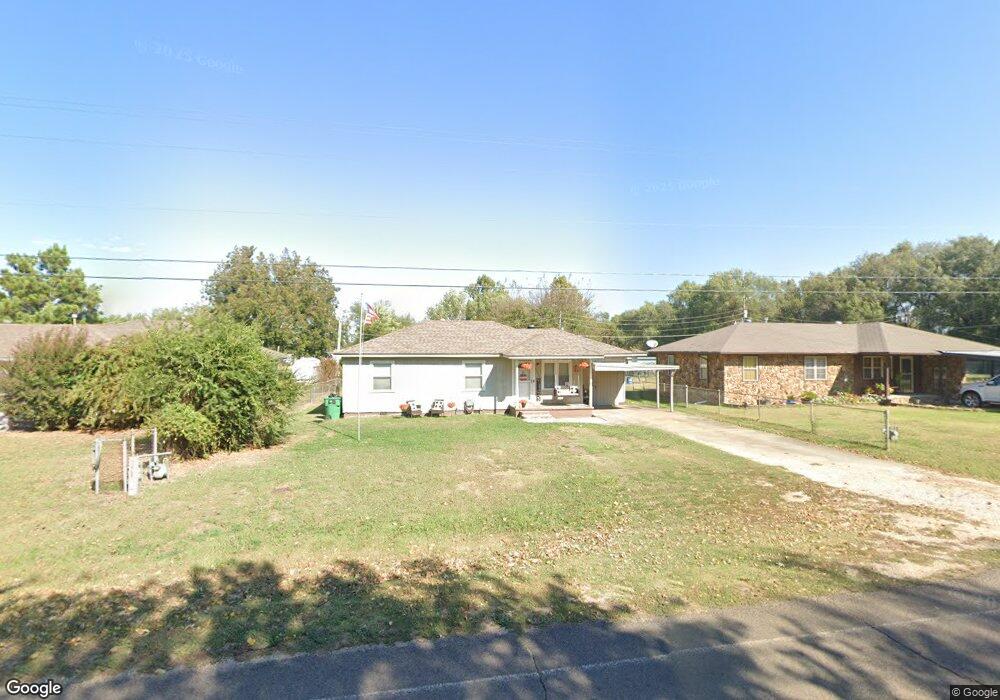
42110 Benson Park Rd Shawnee, OK 74801
Estimated Value: $113,725 - $206,000
3
Beds
1
Bath
1,169
Sq Ft
$140/Sq Ft
Est. Value
About This Home
This home is located at 42110 Benson Park Rd, Shawnee, OK 74801 and is currently estimated at $163,181, approximately $139 per square foot. 42110 Benson Park Rd is a home located in Pottawatomie County with nearby schools including South Rock Creek Public School.
Ownership History
Date
Name
Owned For
Owner Type
Purchase Details
Closed on
Sep 15, 2015
Sold by
Alexander James Daniel
Bought by
Alexander James Daniel and Alexander Amber Nicole
Current Estimated Value
Purchase Details
Closed on
Apr 21, 2008
Sold by
Dearth Andrew and Dearth Andrea
Bought by
Alexander James Daniel and Alexander Angela
Home Financials for this Owner
Home Financials are based on the most recent Mortgage that was taken out on this home.
Original Mortgage
$77,698
Outstanding Balance
$48,856
Interest Rate
6%
Mortgage Type
FHA
Estimated Equity
$114,325
Purchase Details
Closed on
Sep 14, 2001
Sold by
Nash Ronlad and Nash Kimberly
Bought by
Dearth Andrew and Dearth Andrea
Purchase Details
Closed on
May 20, 1993
Sold by
Mcclellan Frances
Bought by
Nash Ronald and Nash Kimberly
Create a Home Valuation Report for This Property
The Home Valuation Report is an in-depth analysis detailing your home's value as well as a comparison with similar homes in the area
Home Values in the Area
Average Home Value in this Area
Purchase History
| Date | Buyer | Sale Price | Title Company |
|---|---|---|---|
| Alexander James Daniel | -- | None Available | |
| Alexander James Daniel | $79,000 | None Available | |
| Dearth Andrew | $28,500 | -- | |
| Nash Ronald | $30,000 | -- |
Source: Public Records
Mortgage History
| Date | Status | Borrower | Loan Amount |
|---|---|---|---|
| Open | Alexander James Daniel | $77,698 |
Source: Public Records
Tax History Compared to Growth
Tax History
| Year | Tax Paid | Tax Assessment Tax Assessment Total Assessment is a certain percentage of the fair market value that is determined by local assessors to be the total taxable value of land and additions on the property. | Land | Improvement |
|---|---|---|---|---|
| 2025 | $701 | $10,182 | $342 | $9,840 |
| 2024 | $794 | $9,886 | $332 | $9,554 |
| 2023 | $794 | $9,597 | $300 | $9,297 |
| 2022 | $787 | $9,597 | $300 | $9,297 |
| 2021 | $678 | $9,597 | $300 | $9,297 |
| 2020 | $839 | $9,597 | $300 | $9,297 |
| 2019 | $840 | $9,597 | $300 | $9,297 |
| 2018 | $855 | $9,544 | $300 | $9,244 |
| 2017 | $924 | $10,292 | $300 | $9,992 |
| 2016 | $840 | $9,992 | $300 | $9,692 |
| 2015 | $835 | $9,701 | $300 | $9,401 |
| 2014 | $813 | $9,480 | $480 | $9,000 |
Source: Public Records
Map
Nearby Homes
- 42601 Stout Dr
- 19705 Harrison Rd
- 00 Benson Park Rd
- 19708 Persimmon Ln
- 42608 Bob Crouch Rd
- 000 Gordon Cooper Dr
- 19901 Prairieview Rd
- 19903 Prairieview Rd
- 19402 Rangeline Rd
- 00 Charleston Pointe
- 19910 Gordon Cooper Dr
- 1100 Foggy Bottom Rd
- 0 Rd Unit 1180426
- 18509 Brangus Rd
- 1011 N Rangeline St
- 803 N Sharon St
- 714 Kimberly Rd
- 806 Myrtle Dr
- 00 Gordon Cooper 12 56 Acres Dr
- 0 N Rangeline St
- 42204 Benson Park Rd
- 42424 Benson Park Rd
- 42202 Benson Park Rd
- 42203 Benson Park Rd
- 42274 Benson Park Rd
- 42206 Benson Park Rd
- 42108 Benson Park Rd
- 42208 Benson Park Rd
- 42308 Benson Park Rd
- 42104 Benson Park Rd
- 42306 Benson Park Rd
- 42100 M Laine St
- 42317 Benson Park Rd
- 42008 M Laine St
- 19141 Harrison Rd
- 42004 Benson Park Rd
- 42003 M Laine St
- 42004 M Laine St
- 42400 Benson Park Rd
- 42402 Benson Park Rd