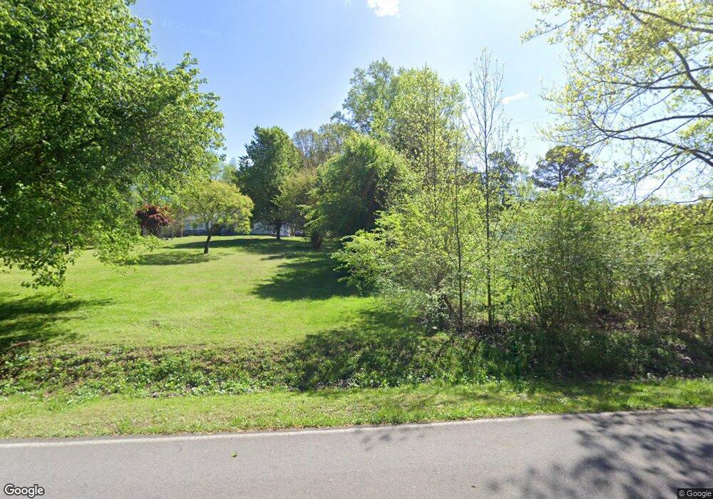
4212 Logan Rd Rocky Face, GA 30740
Estimated Value: $255,230 - $405,000
--
Bed
--
Bath
2,010
Sq Ft
$164/Sq Ft
Est. Value
About This Home
This home is located at 4212 Logan Rd, Rocky Face, GA 30740 and is currently estimated at $328,808, approximately $163 per square foot. 4212 Logan Rd is a home with nearby schools including Westside Elementary School, Westside Middle School, and Northwest Whitfield County High School.
Ownership History
Date
Name
Owned For
Owner Type
Purchase Details
Closed on
Oct 26, 2023
Sold by
Tate James Michael
Bought by
Headrick Myron Scott and Headrick Carol Lynn
Current Estimated Value
Purchase Details
Closed on
May 10, 2023
Sold by
Harbin Charlotte
Bought by
Tate James Michael
Purchase Details
Closed on
Jul 22, 2021
Sold by
Waight Virginia L
Bought by
Tate James Michael
Purchase Details
Closed on
Nov 8, 1988
Sold by
Waight Curtis C and Waight Virginia L
Bought by
Waight Virginia L
Create a Home Valuation Report for This Property
The Home Valuation Report is an in-depth analysis detailing your home's value as well as a comparison with similar homes in the area
Home Values in the Area
Average Home Value in this Area
Purchase History
| Date | Buyer | Sale Price | Title Company |
|---|---|---|---|
| Headrick Myron Scott | $9,000 | None Listed On Document | |
| Headrick Myron Scott | -- | None Listed On Document | |
| Tate James Michael | $138,000 | None Listed On Document | |
| Tate James Michael | $4,000 | -- | |
| Waight Virginia L | -- | -- |
Source: Public Records
Tax History Compared to Growth
Tax History
| Year | Tax Paid | Tax Assessment Tax Assessment Total Assessment is a certain percentage of the fair market value that is determined by local assessors to be the total taxable value of land and additions on the property. | Land | Improvement |
|---|---|---|---|---|
| 2024 | $1,764 | $89,505 | $16,716 | $72,789 |
| 2023 | $1,764 | $59,574 | $12,506 | $47,068 |
| 2022 | $299 | $47,803 | $13,319 | $34,484 |
| 2021 | $299 | $47,803 | $13,319 | $34,484 |
| 2020 | $327 | $47,803 | $13,319 | $34,484 |
| 2019 | $1,482 | $47,803 | $13,319 | $34,484 |
| 2018 | $329 | $45,766 | $11,282 | $34,484 |
| 2017 | $1,081 | $43,594 | $9,110 | $34,484 |
| 2016 | $958 | $40,474 | $9,110 | $31,364 |
| 2014 | $960 | $43,070 | $11,706 | $31,364 |
| 2013 | -- | $43,070 | $11,706 | $31,363 |
Source: Public Records
Map
Nearby Homes
- 1446 Lafayette Rd
- Tract 1 A & B I-75 Beavers Rd
- 1005 Robin Way
- 4125 Dunnagan Rd
- 4744 N Jimmy Dr
- 0 Freeman Springs Rd Unit 121469
- 35 acres Lafayette Rd
- 0 Lafayette Unit 131389
- 35 Acres Lafayette Rd
- Old Alabama Hwy Ga-151
- 110 Windy Hill Dr
- 0 Alabama Hwy Unit TRACT 3 10244950
- 0 Alabama Hwy Unit 1520958
- 0 Alabama Hwy Unit 21222630
- 4177 S Jimmy Dr
- 2950 Davis Rd
- 967 Lafayette Rd
- 2906 Davis Rd
- 1461 Houston Valley Rd
- 2335 Coley Farm Rd
- 4208 Logan Rd
- 4201 Logan Rd
- 4194 Logan Rd
- 4176 Logan Rd
- 2214 Old Ringgold Rd
- 2244 Old Ringgold Rd
- 4323 Tate Rd
- 2216 Old Ringgold Rd
- 1620 Saddlebrook Dr
- 1623 Saddlebrook Dr
- 1622 Saddlebrook Dr
- 4444 Tate Rd
- 153 Rangeland Way
- 4407 Tate Rd
- 1618 Saddlebrook Dr
- 1621 Saddlebrook Dr
- 1619 Saddlebrook Dr
- 1616 Saddlebrook Dr
- 2192 Old Ringgold Rd
- 4111 Logan Rd
