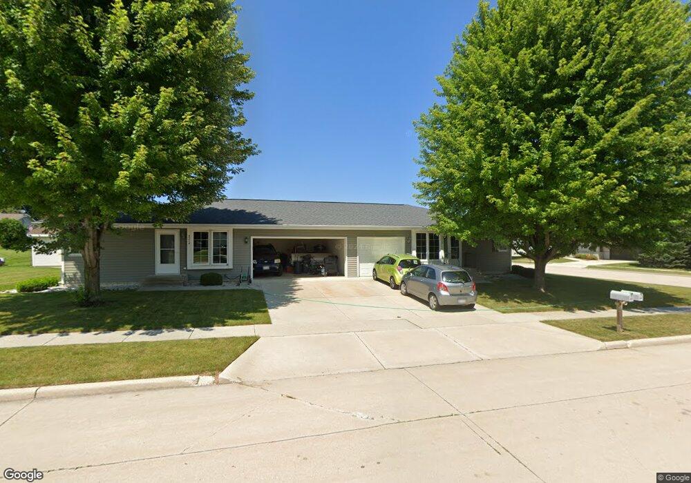
4212 Rock St Manitowoc, WI 54220
Estimated Value: $249,000 - $274,264
4
Beds
2
Baths
1,848
Sq Ft
$142/Sq Ft
Est. Value
About This Home
This home is located at 4212 Rock St, Manitowoc, WI 54220 and is currently estimated at $261,632, approximately $141 per square foot. 4212 Rock St is a home located in Manitowoc County with nearby schools including Franklin Elementary School, Washington Junior High School, and Lincoln High School.
Ownership History
Date
Name
Owned For
Owner Type
Purchase Details
Closed on
Nov 30, 2016
Sold by
Wronkowski Marilyn K and Runyon Colleen M
Bought by
Wittmus Taylor T and Kostello Lauren M
Current Estimated Value
Home Financials for this Owner
Home Financials are based on the most recent Mortgage that was taken out on this home.
Original Mortgage
$170,525
Outstanding Balance
$137,696
Interest Rate
3.52%
Mortgage Type
New Conventional
Estimated Equity
$123,936
Purchase Details
Closed on
May 24, 2010
Sold by
Schmidt Wendy M
Bought by
Duveneck Kevin L
Home Financials for this Owner
Home Financials are based on the most recent Mortgage that was taken out on this home.
Original Mortgage
$123,200
Interest Rate
5.12%
Mortgage Type
New Conventional
Create a Home Valuation Report for This Property
The Home Valuation Report is an in-depth analysis detailing your home's value as well as a comparison with similar homes in the area
Home Values in the Area
Average Home Value in this Area
Purchase History
| Date | Buyer | Sale Price | Title Company |
|---|---|---|---|
| Wittmus Taylor T | -- | First American Title | |
| Duveneck Kevin L | $154,000 | None Available |
Source: Public Records
Mortgage History
| Date | Status | Borrower | Loan Amount |
|---|---|---|---|
| Open | Wittmus Taylor T | $170,525 | |
| Previous Owner | Duveneck Kevin L | $123,200 |
Source: Public Records
Tax History
| Year | Tax Paid | Tax Assessment Tax Assessment Total Assessment is a certain percentage of the fair market value that is determined by local assessors to be the total taxable value of land and additions on the property. | Land | Improvement |
|---|---|---|---|---|
| 2024 | $3,542 | $214,300 | $21,000 | $193,300 |
| 2023 | $3,256 | $214,300 | $21,000 | $193,300 |
| 2022 | $2,889 | $159,000 | $21,000 | $138,000 |
| 2021 | $2,895 | $159,000 | $21,000 | $138,000 |
| 2020 | $2,916 | $145,900 | $21,000 | $124,900 |
| 2019 | $2,875 | $145,900 | $21,000 | $124,900 |
| 2018 | $2,826 | $145,900 | $21,000 | $124,900 |
| 2017 | $2,792 | $145,900 | $21,000 | $124,900 |
| 2016 | $2,897 | $145,900 | $21,000 | $124,900 |
| 2015 | $2,979 | $145,900 | $21,000 | $124,900 |
| 2014 | $2,902 | $145,900 | $21,000 | $124,900 |
| 2013 | $2,938 | $145,900 | $21,000 | $124,900 |
Source: Public Records
Map
Nearby Homes
- 957 Macarthur Dr
- 921 Raton Ct
- 802 Forest Cir
- 107 Mill Rd
- 914 S 35th St
- 4729 Vista Rd
- 3504 Forest Cir
- 3810 Calumet Ave
- 956 Circle Dr
- 3606 Division St
- 4017 Delta St
- 1230 S 31st St
- 631 S 32nd St
- 3007 Calumet Ave
- Lt0 S 30th St
- 1401 S 31st St
- Lt2 Crawford Blvd
- 2616 Washington St
- 502 S 29th St
- 4400 Calumet Ave
Your Personal Tour Guide
Ask me questions while you tour the home.