4212 Rockpoint Dr NW Unit 1 Kennesaw, GA 30152
West Cobb NeighborhoodEstimated Value: $564,820 - $630,000
4
Beds
4
Baths
2,876
Sq Ft
$207/Sq Ft
Est. Value
About This Home
This home is located at 4212 Rockpoint Dr NW Unit 1, Kennesaw, GA 30152 and is currently estimated at $595,705, approximately $207 per square foot. 4212 Rockpoint Dr NW Unit 1 is a home located in Cobb County with nearby schools including Frey Elementary School, Mcclure Middle School, and Harrison High School.
Ownership History
Date
Name
Owned For
Owner Type
Purchase Details
Closed on
Nov 13, 2000
Sold by
Live Oak Builders Inc
Bought by
Miller Richard F
Current Estimated Value
Home Financials for this Owner
Home Financials are based on the most recent Mortgage that was taken out on this home.
Original Mortgage
$245,100
Outstanding Balance
$88,554
Interest Rate
7.79%
Mortgage Type
New Conventional
Estimated Equity
$507,151
Create a Home Valuation Report for This Property
The Home Valuation Report is an in-depth analysis detailing your home's value as well as a comparison with similar homes in the area
Home Values in the Area
Average Home Value in this Area
Purchase History
| Date | Buyer | Sale Price | Title Company |
|---|---|---|---|
| Miller Richard F | $306,400 | -- |
Source: Public Records
Mortgage History
| Date | Status | Borrower | Loan Amount |
|---|---|---|---|
| Open | Miller Richard F | $245,100 |
Source: Public Records
Tax History Compared to Growth
Tax History
| Year | Tax Paid | Tax Assessment Tax Assessment Total Assessment is a certain percentage of the fair market value that is determined by local assessors to be the total taxable value of land and additions on the property. | Land | Improvement |
|---|---|---|---|---|
| 2025 | $1,351 | $186,812 | $44,000 | $142,812 |
| 2024 | $1,355 | $186,812 | $44,000 | $142,812 |
| 2023 | $1,149 | $186,812 | $44,000 | $142,812 |
| 2022 | $1,288 | $164,368 | $44,000 | $120,368 |
| 2021 | $1,203 | $136,064 | $32,800 | $103,264 |
| 2020 | $1,193 | $132,524 | $32,800 | $99,724 |
| 2019 | $1,193 | $132,524 | $32,800 | $99,724 |
| 2018 | $1,193 | $132,524 | $32,800 | $99,724 |
| 2017 | $1,046 | $132,524 | $32,800 | $99,724 |
| 2016 | $1,007 | $119,036 | $32,800 | $86,236 |
| 2015 | $1,080 | $119,036 | $32,800 | $86,236 |
| 2014 | $1,104 | $119,036 | $0 | $0 |
Source: Public Records
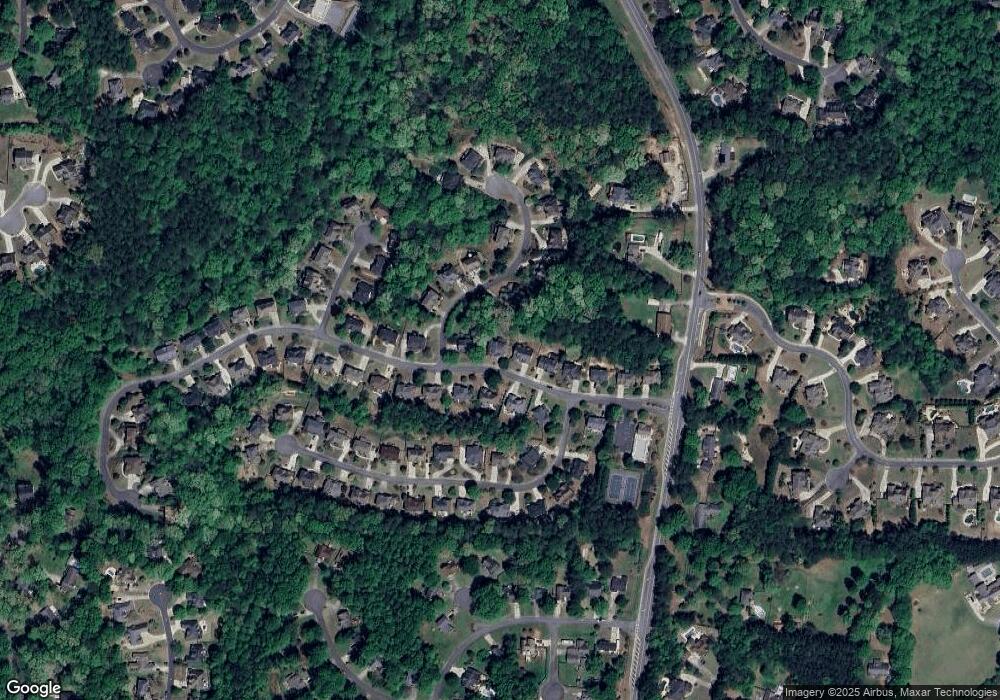
Map
Nearby Homes
- 4220 Rockpoint Dr NW
- 4100 Chanticleer Dr NW
- 4120 Chanticleer Dr NW
- 4362 Rolling Oaks Ct NW
- 4421 Wooded Oaks NW
- 1558 Amberwood Creek Dr NW
- 4398 Windchime Way NW
- 4203 W Mill Trail NW
- 1740 N Hadaway Rd NW
- 3816 Whithorn Way
- 1231 Fawndale Dr NW
- 1746 N Hadaway Rd NW
- 3873 Paul Samuel Rd NW
- 4219 W Mill Trail NW
- 0 W Pointe Dr NW Unit 10457092
- 0 W Pointe Dr NW Unit 7522802
- 1135 Weighhouse Place
- 4210 Rockpoint Dr NW Unit 1
- 4214 Rockpoint Dr NW
- 1456 Hickory Branch Trail NW
- 4208 Rockpoint Dr NW
- 4211 Rockpoint Dr NW
- 4209 Rockpoint Dr NW
- 4213 Rockpoint Dr NW
- 4213 Rockpoint Dr NW Unit 30152
- 4206 Rockpoint Dr NW
- 4218 Rockpoint Dr NW
- 4215 Rockpoint Dr NW Unit I
- 1455 Hickory Branch Trail NW
- 4207 Rockpoint Dr NW
- 1453 Hickory Branch Trail NW
- 1458 Hickory Branch Trail NW
- 1457 Hickory Branch Trail NW
- 0 Rockpoint Dr NW Unit 7524458
- 0 Rockpoint Dr NW Unit 7479175
- 0 Rockpoint Dr NW Unit 7456472
- 0 Rockpoint Dr NW Unit 7372615