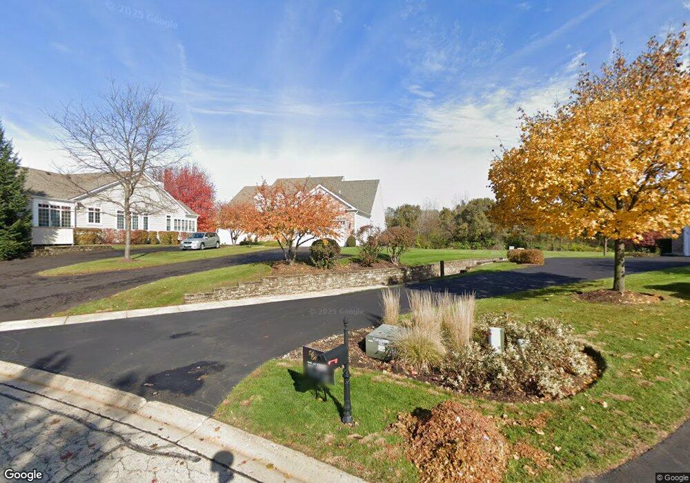
4212 Weatherstone Rd Crystal Lake, IL 60014
Estimated Value: $490,630 - $545,000
3
Beds
3
Baths
2,032
Sq Ft
$258/Sq Ft
Est. Value
About This Home
This home is located at 4212 Weatherstone Rd, Crystal Lake, IL 60014 and is currently estimated at $524,408, approximately $258 per square foot. 4212 Weatherstone Rd is a home located in McHenry County with nearby schools including Prairie Grove Elementary School, Prairie Grove Junior High School, and Prairie Ridge High School.
Ownership History
Date
Name
Owned For
Owner Type
Purchase Details
Closed on
Aug 3, 2004
Sold by
Premier Property Group Inc
Bought by
Harris Trust & Savings Bank and Trust #11-2930
Current Estimated Value
Home Financials for this Owner
Home Financials are based on the most recent Mortgage that was taken out on this home.
Original Mortgage
$370,000
Interest Rate
6.1%
Mortgage Type
Unknown
Create a Home Valuation Report for This Property
The Home Valuation Report is an in-depth analysis detailing your home's value as well as a comparison with similar homes in the area
Home Values in the Area
Average Home Value in this Area
Purchase History
| Date | Buyer | Sale Price | Title Company |
|---|---|---|---|
| Harris Trust & Savings Bank | $444,484 | Metropolitan Title Co |
Source: Public Records
Mortgage History
| Date | Status | Borrower | Loan Amount |
|---|---|---|---|
| Closed | Harris Trust & Savings Bank | $370,000 |
Source: Public Records
Tax History Compared to Growth
Tax History
| Year | Tax Paid | Tax Assessment Tax Assessment Total Assessment is a certain percentage of the fair market value that is determined by local assessors to be the total taxable value of land and additions on the property. | Land | Improvement |
|---|---|---|---|---|
| 2024 | $9,488 | $138,672 | $19,422 | $119,250 |
| 2023 | $9,296 | $124,358 | $17,417 | $106,941 |
| 2022 | $10,324 | $128,390 | $15,928 | $112,462 |
| 2021 | $9,711 | $120,373 | $14,933 | $105,440 |
| 2020 | $9,564 | $116,765 | $14,485 | $102,280 |
| 2019 | $9,315 | $111,015 | $13,772 | $97,243 |
| 2018 | $8,667 | $102,893 | $12,936 | $89,957 |
| 2017 | $8,476 | $98,575 | $12,393 | $86,182 |
| 2016 | $8,363 | $94,051 | $11,824 | $82,227 |
| 2013 | -- | $89,508 | $11,253 | $78,255 |
Source: Public Records
Map
Nearby Homes
- 5805 Wild Plum Rd
- 5912 Prairie Ridge Rd
- Lot#34 White Ash Rd
- 4119 White Ash Rd
- 5419 Rita Ave
- 4210 Jacqueline Ln
- 5412 Gerry Ln
- 5305 Rita Ave
- 6102 Scott Ln
- 845 E Terra Cotta Ave
- 3814 Church Hill Ln
- 5609 Farmbrook Ln
- 690 Cassia Ct
- 646 Cassia Ct
- 642 Cassia Ct
- 656 Cassia Ct
- 672 Cassia Ct
- 6201 N Wyndwood Dr
- 221 Mistwood Ln
- 797 Silk Oak Ln Unit 797
- 4214 Weatherstone Rd
- 4216 Weatherstone Rd
- 4218 Weatherstone Rd
- 4206 Weatherstone Rd
- 4204 Weatherstone Rd
- 4204 Weatherstone Rd Unit 4204
- 4202 Weatherstone Rd
- 4222 Weatherstone Rd
- 4203 Weatherstone Rd
- 4226 Weatherstone Rd
- 4209 Weatherstone Rd
- 4213 Weatherstone Rd
- 4213 Weatherstone Rd Unit 96
- 4211 Weatherstone Rd
- 4215 Weatherstone Rd
- 4215 Weatherstone Rd
- 4217 Weatherstone Rd
- 4302 Weatherstone Rd
- 4229 Weatherstone Rd
- 4219 Weatherstone Rd