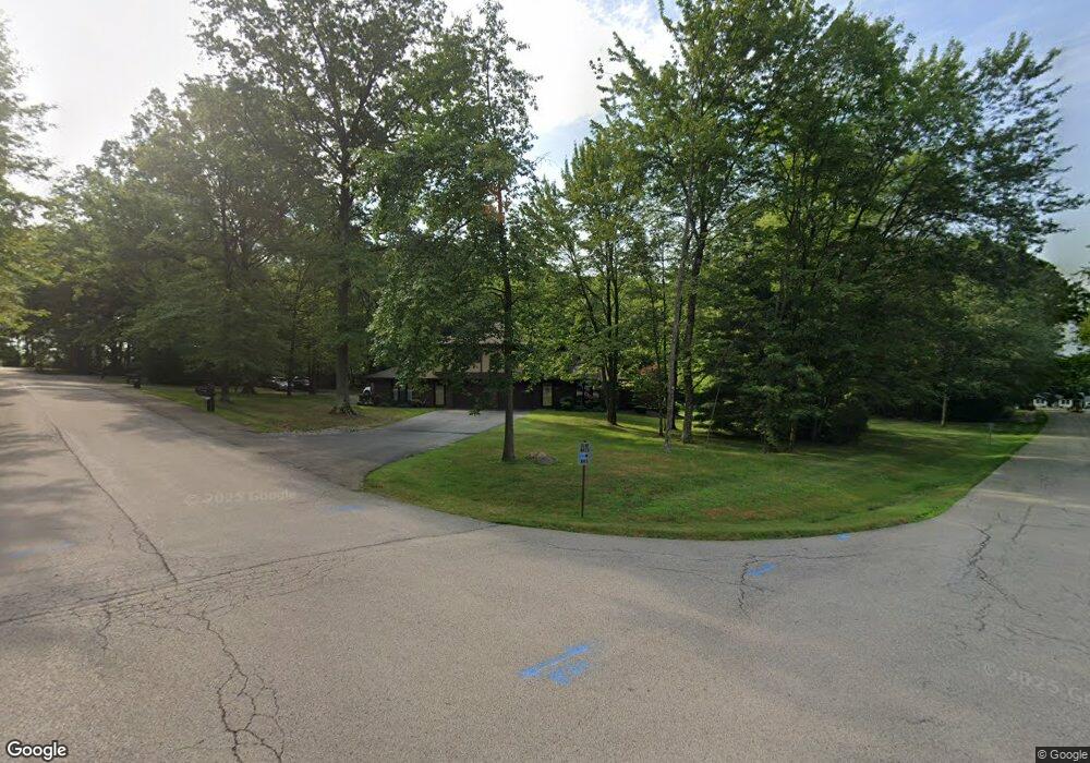
4213 Bristol Ln Unit 1 New Castle, PA 16105
Estimated Value: $169,000 - $209,000
1
Bed
2
Baths
1,431
Sq Ft
$137/Sq Ft
Est. Value
About This Home
This home is located at 4213 Bristol Ln Unit 1, New Castle, PA 16105 and is currently estimated at $195,855, approximately $136 per square foot. 4213 Bristol Ln Unit 1 is a home located in Lawrence County with nearby schools including Neshannock Memorial Elementary School, Neshannock Junior/Senior High School, and New Castle Christian Academy.
Ownership History
Date
Name
Owned For
Owner Type
Purchase Details
Closed on
Jul 14, 2016
Sold by
Harlan Timothy J and Harlan Courtney
Bought by
Bok Christine A
Current Estimated Value
Purchase Details
Closed on
Feb 7, 2014
Sold by
Kumrow Leslie Gail
Bought by
Harlan Timothy J
Purchase Details
Closed on
Oct 6, 2011
Sold by
Krause Darryl F
Bought by
Kumrow Leslie Gail
Create a Home Valuation Report for This Property
The Home Valuation Report is an in-depth analysis detailing your home's value as well as a comparison with similar homes in the area
Home Values in the Area
Average Home Value in this Area
Purchase History
| Date | Buyer | Sale Price | Title Company |
|---|---|---|---|
| Bok Christine A | $82,000 | None Available | |
| Harlan Timothy J | $60,000 | None Available | |
| Kumrow Leslie Gail | $104,900 | None Available |
Source: Public Records
Tax History Compared to Growth
Tax History
| Year | Tax Paid | Tax Assessment Tax Assessment Total Assessment is a certain percentage of the fair market value that is determined by local assessors to be the total taxable value of land and additions on the property. | Land | Improvement |
|---|---|---|---|---|
| 2025 | $3,021 | $94,600 | $9,500 | $85,100 |
| 2024 | $2,851 | $94,600 | $9,500 | $85,100 |
| 2023 | $2,749 | $94,600 | $9,500 | $85,100 |
| 2022 | $2,664 | $94,600 | $9,500 | $85,100 |
| 2021 | $2,664 | $94,600 | $9,500 | $85,100 |
| 2020 | $2,614 | $94,600 | $9,500 | $85,100 |
| 2019 | $2,477 | $94,600 | $9,500 | $85,100 |
| 2018 | $2,420 | $94,600 | $9,500 | $85,100 |
| 2017 | $2,315 | $94,600 | $9,500 | $85,100 |
| 2016 | $772 | $94,600 | $9,500 | $85,100 |
| 2015 | $772 | $94,600 | $9,500 | $85,100 |
| 2014 | $772 | $94,600 | $9,500 | $85,100 |
Source: Public Records
Map
Nearby Homes
- 4302 Mitchell Rd
- 3534 Hunters Woods Blvd Unit 3
- 114 Neshannock Trails Dr
- 3699 Mitchell Rd
- 104 Neshannock Trails Dr
- 237 Neshannock Trails Dr
- 215 Neshannock Trails Dr
- 3349 Long Branch Dr
- 204 Neshannock Trails Dr
- 203 Neshannock Trails Dr
- 0 Plank Rd
- 314 Long Branch Dr
- 334 Long Branch Dr
- 330 Long Branch Dr
- 338 Sequoia Dr
- 343 Sequoia Dr
- 353 Hidden Brooke Ct
- 138 Abbey Rd
- 3239 Penny Ln Unit 24B
- 3205 Penny Ln Unit 21-A
- 4213 Bristol Ln
- 4215 Bristol Ln Unit 3
- 4211 Bristol Ln
- 24 Bristol Ln
- 4221 Bristol Ln
- 6 Bristol Ln
- 4219 Bristol Ln
- 17 Bristol Ln
- 242 North Point Dr Unit 8
- 242 North Point Dr Unit 7
- 439 North Point Dr Unit 58
- 439 North Point Dr Unit 56
- 434 North Point Dr Unit 51
- 434 North Point Dr Unit 50
- 434 North Point Dr Unit 52
- 402 North Point Dr Unit 49
- 402 North Point Dr Unit 47
- 368 North Point Dr Unit 43
- 368 North Point Dr Unit 42
- 368 North Point Dr Unit 41