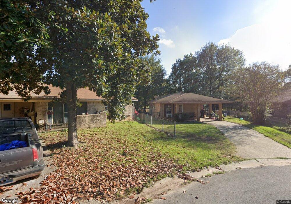
4213 Twig Cir Shreveport, LA 71109
Mooretown and Hollywood Heights NeighborhoodEstimated Value: $43,000 - $60,000
3
Beds
1
Bath
1,014
Sq Ft
$53/Sq Ft
Est. Value
About This Home
This home is located at 4213 Twig Cir, Shreveport, LA 71109 and is currently estimated at $53,371, approximately $52 per square foot. 4213 Twig Cir is a home located in Caddo Parish with nearby schools including Oak Park Elementary School, Judson Fundamental Elementary School, and Fairfield Magnet School.
Ownership History
Date
Name
Owned For
Owner Type
Purchase Details
Closed on
Oct 31, 2016
Sold by
Mincie Leona and Hutcherson Joyce Martin
Bought by
Baker Mark
Current Estimated Value
Home Financials for this Owner
Home Financials are based on the most recent Mortgage that was taken out on this home.
Original Mortgage
$22,738
Outstanding Balance
$18,156
Interest Rate
3.42%
Mortgage Type
New Conventional
Estimated Equity
$35,215
Create a Home Valuation Report for This Property
The Home Valuation Report is an in-depth analysis detailing your home's value as well as a comparison with similar homes in the area
Home Values in the Area
Average Home Value in this Area
Purchase History
| Date | Buyer | Sale Price | Title Company |
|---|---|---|---|
| Baker Mark | $28,422 | Bayou Title Inc |
Source: Public Records
Mortgage History
| Date | Status | Borrower | Loan Amount |
|---|---|---|---|
| Open | Baker Mark | $22,738 |
Source: Public Records
Tax History Compared to Growth
Tax History
| Year | Tax Paid | Tax Assessment Tax Assessment Total Assessment is a certain percentage of the fair market value that is determined by local assessors to be the total taxable value of land and additions on the property. | Land | Improvement |
|---|---|---|---|---|
| 2024 | $620 | $3,977 | $717 | $3,260 |
| 2023 | $628 | $3,943 | $683 | $3,260 |
| 2022 | $628 | $3,943 | $683 | $3,260 |
| 2021 | $619 | $3,943 | $683 | $3,260 |
| 2020 | $619 | $3,943 | $683 | $3,260 |
| 2019 | $626 | $3,872 | $683 | $3,189 |
| 2018 | $499 | $3,872 | $683 | $3,189 |
| 2017 | $636 | $3,872 | $683 | $3,189 |
| 2015 | $504 | $3,890 | $680 | $3,210 |
| 2014 | $508 | $3,890 | $680 | $3,210 |
| 2013 | -- | $3,890 | $680 | $3,210 |
Source: Public Records
Map
Nearby Homes
- 4210 Via St
- 4135 Forest Oak Dr
- 4122 Carver St
- 4102 Via St
- 4056 Powell St
- 3918 Adrian St
- 4130 Mayfield St
- 4136 Mayfield St
- 0 Miles St
- 3924 Miles St
- 3812 Mayfield St
- 3922 Miles St
- 3112 Standard Oil Rd
- 5415 Norton St
- 4302 Illinois Ave
- 3610 Sanders St
- 7013 Janey St
- 0 Standard Oil Rd
- 6208 Jewella Ave
- 3735 Tate St
- 4209 Twig Cir
- 4212 Twig Cir
- 4205 Twig Cir
- 4201 Twig Cir
- 4206 Twig Cir
- 4202 Twig Cir
- 4202 Twig Cir
- 4209 Via St
- 4154 Forest Oak Dr
- 4150 Forest Oak Dr
- 4205 Via St
- 4147 Forest Oak Dr
- 6621 Kennedy Dr
- 6613 Kennedy Dr
- 4146 Forest Oak Dr
- 6609 Kennedy Dr
- 6801 Oak Branch Cir
- 6605 Kennedy Dr
- 6633 Kennedy Dr
- 6601 Kennedy Dr