421302 E 1183 Rd Eufaula, OK 74432
Estimated Value: $125,281 - $654,000
2
Beds
2
Baths
1,060
Sq Ft
$286/Sq Ft
Est. Value
About This Home
This home is located at 421302 E 1183 Rd, Eufaula, OK 74432 and is currently estimated at $303,070, approximately $285 per square foot. 421302 E 1183 Rd is a home with nearby schools including Eufaula Elementary School, Eufaula Middle School, and Eufaula High School.
Ownership History
Date
Name
Owned For
Owner Type
Purchase Details
Closed on
Apr 21, 2008
Sold by
Myers David L and Myers Darla Hill
Bought by
Thies Daniel A and Thies Carlotta Roann
Current Estimated Value
Home Financials for this Owner
Home Financials are based on the most recent Mortgage that was taken out on this home.
Original Mortgage
$95,600
Outstanding Balance
$60,730
Interest Rate
6.11%
Mortgage Type
New Conventional
Estimated Equity
$242,340
Purchase Details
Closed on
Oct 9, 1998
Sold by
Mcbride and White
Bought by
Myers
Purchase Details
Closed on
Aug 13, 1998
Sold by
Fuller
Bought by
Mcbride and White
Create a Home Valuation Report for This Property
The Home Valuation Report is an in-depth analysis detailing your home's value as well as a comparison with similar homes in the area
Purchase History
| Date | Buyer | Sale Price | Title Company |
|---|---|---|---|
| Thies Daniel A | $119,500 | None Available | |
| Myers | $36,000 | -- | |
| Mcbride | $27,500 | -- |
Source: Public Records
Mortgage History
| Date | Status | Borrower | Loan Amount |
|---|---|---|---|
| Open | Thies Daniel A | $95,600 |
Source: Public Records
Tax History
| Year | Tax Paid | Tax Assessment Tax Assessment Total Assessment is a certain percentage of the fair market value that is determined by local assessors to be the total taxable value of land and additions on the property. | Land | Improvement |
|---|---|---|---|---|
| 2025 | $722 | $8,255 | $382 | $7,873 |
| 2024 | $687 | $8,255 | $422 | $7,833 |
| 2023 | $687 | $7,487 | $308 | $7,179 |
| 2022 | $591 | $7,131 | $293 | $6,838 |
| 2021 | $570 | $7,130 | $286 | $6,844 |
| 2020 | $543 | $6,791 | $273 | $6,518 |
| 2019 | $522 | $6,468 | $260 | $6,208 |
| 2018 | $488 | $6,160 | $247 | $5,913 |
| 2017 | $466 | $5,588 | $218 | $5,370 |
| 2016 | $445 | $5,321 | $194 | $5,127 |
| 2015 | $419 | $5,069 | $208 | $4,861 |
| 2014 | $396 | $4,827 | $198 | $4,629 |
Source: Public Records
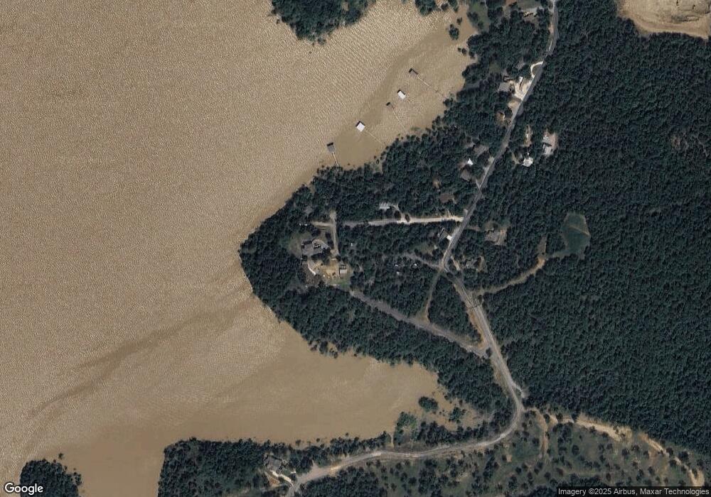
Map
Nearby Homes
- 247 Patriot Pointe
- 248 Patriot Pointe
- 239 Patriot Pointe
- 238 Patriot Pointe
- 240 Patriot Pointe
- 242 Patriot Pointe
- 241 Patriot Pointe
- 230 Patriot Pointe
- 119402 S 4214 Loop
- 257 Patriot Pointe Rd
- 229 Patriot Pointe
- 182 Patriot Pointe
- 187 Patriot Pointe
- 59 Patriot Pointe
- 54 Patriot Pointe
- 223 Patriot Pointe
- 175 Patriot Pointe
- 69 Patriot Pointe
- 6 Patriot Pointe
- 221 Patriot Pointe
- 421301 E 1183 Rd
- 421305 E 1183 Rd
- 421315 E 1183 Rd
- 420815 E 1183 Rd
- 118274 S 4214 Rd
- 118258 S 4214 Rd
- 000 S 4214 Rd
- 118244 S 4214 Rd
- 249 Patriot Pointe
- 5025 Rr 4
- 118206 S 4214 Rd
- 118192 S 4214 Rd
- 0 S 4214 Rd Unit 1189594
- 0 S 4214 Rd Unit 1714927
- 0 S 4214 Rd Unit 1919917
- 0 S 4214 Rd Unit 1943052
- 0 S 4214 Rd Unit 1944844
- 0 S 4214 Rd Unit 2004652
- 0 S 4214 Rd Unit 2021463
- 0 S 4214 Rd Unit 2041432
Your Personal Tour Guide
Ask me questions while you tour the home.