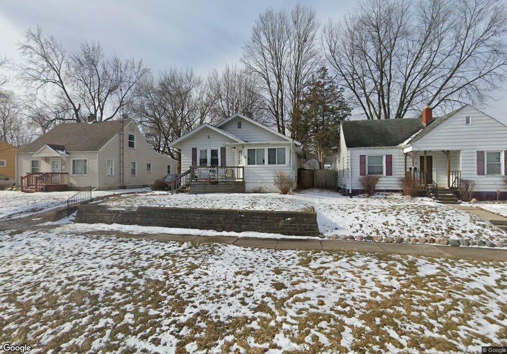
4214 Circle Dr Flint, MI 48507
Circle Drive NeighborhoodEstimated Value: $67,641 - $80,000
2
Beds
1
Bath
1,147
Sq Ft
$65/Sq Ft
Est. Value
About This Home
This home is located at 4214 Circle Dr, Flint, MI 48507 and is currently estimated at $74,160, approximately $64 per square foot. 4214 Circle Dr is a home located in Genesee County with nearby schools including Freeman Elementary School, Flint Southwestern Classical Academy, and International Academy of Flint (K-12).
Ownership History
Date
Name
Owned For
Owner Type
Purchase Details
Closed on
Jan 16, 2018
Sold by
Shaker Michael L
Bought by
Holland Christina
Current Estimated Value
Purchase Details
Closed on
Feb 3, 2016
Sold by
Shirah Micki Lynn
Bought by
Shaker Michael Lewis
Purchase Details
Closed on
May 5, 2012
Sold by
Mccarty Michael G
Bought by
Shirah Micki Lynn
Purchase Details
Closed on
Apr 25, 2008
Sold by
Jolly Vicki L
Bought by
Wells Fargo Bank Na and Asset Backed Pass Through Certificates S
Create a Home Valuation Report for This Property
The Home Valuation Report is an in-depth analysis detailing your home's value as well as a comparison with similar homes in the area
Home Values in the Area
Average Home Value in this Area
Purchase History
| Date | Buyer | Sale Price | Title Company |
|---|---|---|---|
| Holland Christina | -- | None Available | |
| Shaker Michael Lewis | $10,000 | Attorney | |
| Shirah Micki Lynn | -- | None Available | |
| Wells Fargo Bank Na | $73,968 | None Available |
Source: Public Records
Tax History
| Year | Tax Paid | Tax Assessment Tax Assessment Total Assessment is a certain percentage of the fair market value that is determined by local assessors to be the total taxable value of land and additions on the property. | Land | Improvement |
|---|---|---|---|---|
| 2025 | $1,375 | $41,700 | $0 | $0 |
| 2024 | $1,268 | $37,000 | $0 | $0 |
| 2023 | $1,235 | $34,000 | $0 | $0 |
| 2022 | $0 | $27,900 | $0 | $0 |
| 2021 | $1,255 | $20,800 | $0 | $0 |
| 2020 | $1,149 | $16,700 | $0 | $0 |
| 2019 | $1,119 | $13,200 | $0 | $0 |
| 2018 | $1,442 | $11,300 | $0 | $0 |
| 2017 | $1,042 | $0 | $0 | $0 |
| 2016 | $958 | $0 | $0 | $0 |
| 2015 | -- | $0 | $0 | $0 |
| 2012 | -- | $14,500 | $0 | $0 |
Source: Public Records
Map
Nearby Homes
- 621 Lochhead Ave
- 530 McKeighan Ave
- 4127 Custer Ave
- 621 Burroughs Ave
- 630 Buckingham Ave
- 802 McKeighan Ave
- 416 Burroughs Ave
- 818 Dell Ave
- 4205 Red Arrow Rd
- 326 Burroughs Ave
- 338 Browning Ave
- 352 Buckingham Ave
- 361 Buckingham Ave
- 4424 Cheyenne Ave
- 4526 Milton Dr
- 3505 Comanche Ave
- 3442 Griffith Ct
- 3056 Shaw St
- 3115 Circle Dr
- 3128 Ludwig St
Your Personal Tour Guide
Ask me questions while you tour the home.