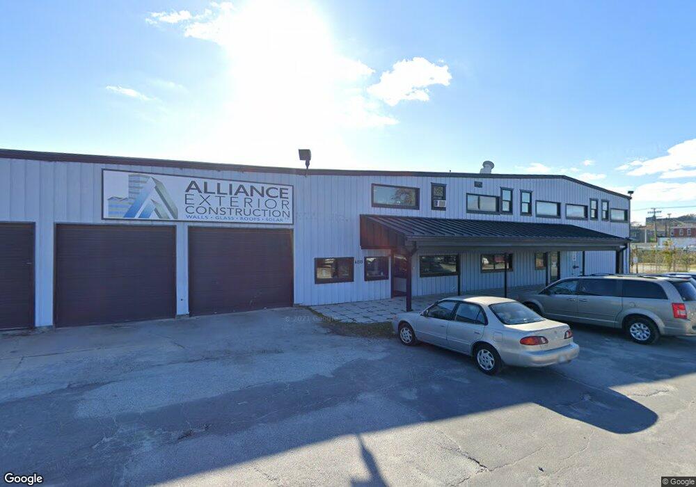
4215 Eastern Ave Baltimore, MD 21224
Estimated Value: $2,651,139
Studio
--
Bath
33,200
Sq Ft
$80/Sq Ft
Est. Value
About This Home
This home is located at 4215 Eastern Ave, Baltimore, MD 21224 and is currently estimated at $2,651,139, approximately $79 per square foot. 4215 Eastern Ave is a home located in Baltimore City with nearby schools including Booker T. Washington Middle School, Patterson High School, and Paul Laurence Dunbar High School.
Ownership History
Date
Name
Owned For
Owner Type
Purchase Details
Closed on
Feb 26, 2009
Sold by
Hermon Properties Inc
Bought by
Alliance Enterprises Llc
Current Estimated Value
Purchase Details
Closed on
Dec 23, 1998
Sold by
Platt International Llc
Bought by
Hermon Properties Inc
Purchase Details
Closed on
Apr 27, 1998
Sold by
James B Platt
Bought by
Platt International Llc
Create a Home Valuation Report for This Property
The Home Valuation Report is an in-depth analysis detailing your home's value as well as a comparison with similar homes in the area
Purchase History
| Date | Buyer | Sale Price | Title Company |
|---|---|---|---|
| Alliance Enterprises Llc | $1,300,000 | -- | |
| Hermon Properties Inc | $525,000 | -- | |
| Platt International Llc | -- | -- |
Source: Public Records
Tax History
| Year | Tax Paid | Tax Assessment Tax Assessment Total Assessment is a certain percentage of the fair market value that is determined by local assessors to be the total taxable value of land and additions on the property. | Land | Improvement |
|---|---|---|---|---|
| 2025 | $31,426 | $1,343,100 | $186,900 | $1,156,200 |
| 2024 | $31,426 | $1,337,967 | -- | -- |
| 2023 | $31,305 | $1,332,833 | $0 | $0 |
| 2022 | $31,334 | $1,327,700 | $186,900 | $1,140,800 |
| 2021 | $31,334 | $1,327,700 | $186,900 | $1,140,800 |
| 2020 | $31,334 | $1,327,700 | $186,900 | $1,140,800 |
| 2019 | $31,339 | $1,334,300 | $186,900 | $1,147,400 |
| 2018 | $28,936 | $1,325,233 | $0 | $0 |
| 2017 | $28,024 | $1,316,167 | $0 | $0 |
| 2016 | $23,867 | $1,307,100 | $0 | $0 |
| 2015 | $23,867 | $1,249,833 | $0 | $0 |
| 2014 | $23,867 | $1,192,567 | $0 | $0 |
Source: Public Records
Map
Nearby Homes
- 612 Mozart Way
- 609 S Haven St
- 618 Mozart Way
- 606 S Lehigh St
- 505 S Lehigh St
- 529 S Lehigh St
- 657 Mozart Way
- 634 Grundy St
- 500 S Macon St
- 517 S Macon St
- 304 S Lehigh St
- 756 S Macon St
- 3825 Foster Ave
- 609 S Eaton St
- 611 S Eaton St
- 709 S Macon St
- 4519 Fait Ave
- 307 Fagley St
- 405 S Newkirk St
- 608 Oldham St
- 4315 Eastern Ave
- 4201 Eastern Ave
- 4301 Eastern Ave
- 603 Mozart Way
- 605 Mozart Way
- 515 S Haven St
- 607 Mozart Way
- 4118 Eastern Ave
- 600 Mozart Way
- 602 Mozart Way
- 604 Mozart Way
- 4101 Eastern Ave
- 615 Mozart Way
- 606 Mozart Way
- 613 Mozart Way
- 608 Mozart Way
- 617 Mozart Way
- 400 S Janney St
- 610 Mozart Way
- 603 S Haven St
Your Personal Tour Guide
Ask me questions while you tour the home.