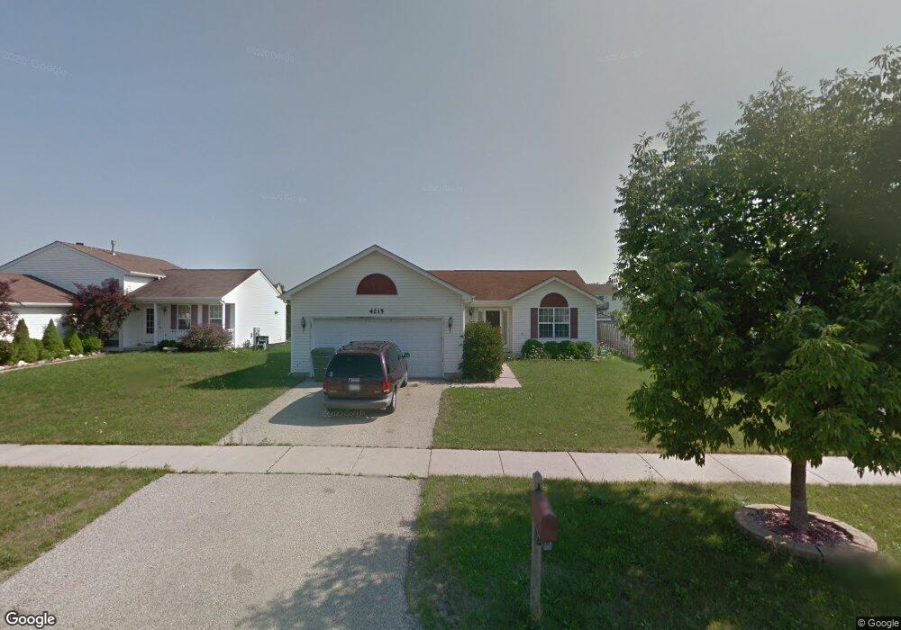
4215 Quail St Zion, IL 60099
West Zion NeighborhoodEstimated Value: $282,000 - $329,000
3
Beds
1
Bath
1,232
Sq Ft
$241/Sq Ft
Est. Value
About This Home
This home is located at 4215 Quail St, Zion, IL 60099 and is currently estimated at $296,368, approximately $240 per square foot. 4215 Quail St is a home located in Lake County with nearby schools including Newport Elementary School, Beach Park Middle School, and Zion-Benton Township High School.
Ownership History
Date
Name
Owned For
Owner Type
Purchase Details
Closed on
Jul 31, 2000
Sold by
Bank Of Waukegan
Bought by
Brown Timothy J and Brown Kathleen M
Current Estimated Value
Home Financials for this Owner
Home Financials are based on the most recent Mortgage that was taken out on this home.
Original Mortgage
$141,998
Outstanding Balance
$51,559
Interest Rate
8.24%
Mortgage Type
VA
Estimated Equity
$244,809
Create a Home Valuation Report for This Property
The Home Valuation Report is an in-depth analysis detailing your home's value as well as a comparison with similar homes in the area
Home Values in the Area
Average Home Value in this Area
Purchase History
| Date | Buyer | Sale Price | Title Company |
|---|---|---|---|
| Brown Timothy J | $147,500 | Chicago Title Insurance Co |
Source: Public Records
Mortgage History
| Date | Status | Borrower | Loan Amount |
|---|---|---|---|
| Open | Brown Timothy J | $141,998 |
Source: Public Records
Tax History Compared to Growth
Tax History
| Year | Tax Paid | Tax Assessment Tax Assessment Total Assessment is a certain percentage of the fair market value that is determined by local assessors to be the total taxable value of land and additions on the property. | Land | Improvement |
|---|---|---|---|---|
| 2024 | $6,826 | $68,897 | $9,864 | $59,033 |
| 2023 | $6,660 | $61,428 | $8,795 | $52,633 |
| 2022 | $6,660 | $57,045 | $7,199 | $49,846 |
| 2021 | $6,551 | $53,513 | $6,753 | $46,760 |
| 2020 | $6,303 | $50,332 | $6,352 | $43,980 |
| 2019 | $6,117 | $46,886 | $5,917 | $40,969 |
| 2018 | $5,386 | $41,381 | $5,420 | $35,961 |
| 2017 | $5,270 | $38,387 | $5,028 | $33,359 |
| 2016 | $4,854 | $34,846 | $4,564 | $30,282 |
| 2015 | $4,624 | $31,618 | $4,141 | $27,477 |
| 2014 | $4,446 | $31,173 | $4,225 | $26,948 |
| 2012 | $4,916 | $33,198 | $4,499 | $28,699 |
Source: Public Records
Map
Nearby Homes
- 1302 Lorelei Dr
- 1304 Lorelei Dr
- 908 Countrywood Dr
- 1417 Westside Trail
- 4014 Ridge Rd
- 3717 Willow Crest Dr
- 0 9th St
- 3707 Willow Crest Dr
- 4539 Illinois 173
- 4533 Illinois 173
- 1304 Pelican Ct
- 41320 N Green Bay Rd
- 1916 Sunshine Ct
- 2010 Sunset Ct
- 1531 Southport Ct
- 2031 Dawn Ln
- 1521 Southport Ct
- 1405 Lewis Ave
- 42334 N Heritage Lot 7 Trail
- 43389 N Oakcrest Ln
- 4217 Quail St
- 4213 Quail St
- 4211 Quail St
- 4219 Quail St
- 1234 Pheasant Run
- 1232 Pheasant Run
- 1236 Pheasant Run
- 1230 Pheasant Run
- 1238 Pheasant Run
- 4209 Quail St
- 4214 Quail St
- 1209 Cardinal Dr
- 4212 Quail St
- 1228 Pheasant Run
- 1211 Cardinal Dr
- 4216 Quail St
- 4210 Quail St
- 4218 Quail St
- 1226 Pheasant Run
- 1213 Cardinal Dr