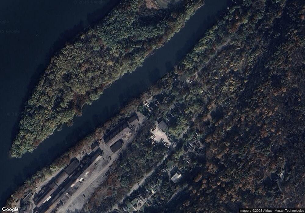
4216 Lowe Rd New Kensington, PA 15068
Estimated Value: $39,784 - $201,000
--
Bed
--
Bath
--
Sq Ft
0.8
Acres
About This Home
This home is located at 4216 Lowe Rd, New Kensington, PA 15068 and is currently estimated at $120,392. 4216 Lowe Rd is a home located in Westmoreland County with nearby schools including Stewart Elementary School, Bon Air El School, and Charles A Huston Middle School.
Ownership History
Date
Name
Owned For
Owner Type
Purchase Details
Closed on
Jun 18, 2013
Sold by
Weyandt James R and Weyandt Tammy L
Bought by
City Of Lower Burrell
Current Estimated Value
Purchase Details
Closed on
Apr 1, 2011
Sold by
Soles Melissa L
Bought by
Weyandt James R and Weyandt Tammy L
Purchase Details
Closed on
Oct 20, 2006
Sold by
Hud
Bought by
Soles Melissa L
Purchase Details
Closed on
Apr 7, 2006
Sold by
Wells Fargo Bank Na
Bought by
Hud
Purchase Details
Closed on
Jan 25, 2006
Sold by
Magill Carol and Mann Carol J
Bought by
Wells Fargo Bank Na
Create a Home Valuation Report for This Property
The Home Valuation Report is an in-depth analysis detailing your home's value as well as a comparison with similar homes in the area
Home Values in the Area
Average Home Value in this Area
Purchase History
| Date | Buyer | Sale Price | Title Company |
|---|---|---|---|
| City Of Lower Burrell | -- | None Available | |
| Weyandt James R | $19,900 | None Available | |
| Soles Melissa L | $9,200 | None Available | |
| Hud | -- | None Available | |
| Wells Fargo Bank Na | -- | None Available |
Source: Public Records
Tax History Compared to Growth
Tax History
| Year | Tax Paid | Tax Assessment Tax Assessment Total Assessment is a certain percentage of the fair market value that is determined by local assessors to be the total taxable value of land and additions on the property. | Land | Improvement |
|---|---|---|---|---|
| 2025 | -- | $2,390 | $2,390 | $0 |
| 2024 | -- | $2,390 | $2,390 | $0 |
| 2023 | -- | $2,390 | $2,390 | $0 |
| 2022 | $0 | $2,390 | $2,390 | $0 |
| 2021 | $0 | $2,390 | $2,390 | $0 |
| 2020 | $0 | $2,390 | $2,390 | $0 |
| 2019 | $315 | $2,390 | $2,390 | $0 |
| 2018 | $0 | $2,390 | $2,390 | $0 |
| 2017 | $315 | $2,390 | $2,390 | $0 |
| 2016 | -- | $2,390 | $2,390 | $0 |
| 2015 | -- | $2,390 | $2,390 | $0 |
| 2014 | $1,007 | $11,550 | $2,390 | $9,160 |
Source: Public Records
Map
Nearby Homes
- 4411 Wildcat Hollow Rd
- 58 Elm St
- 54 Elm St
- 44 Walnut St
- 6 Pine St
- 92 Walnut St
- 2107 Adams St
- 2224 Adams St
- 2212 Freeport Rd
- 1116 Dallas Ave
- 1202 Dallas Ave
- 2118 Spooky Hollow Rd
- 307 Sherwood Dr
- 1023 Burtner Rd
- 0000 Pacific Ave
- 1017 Lane Ave
- 1118 Lane Ave
- 1275 11th Ave
- 1998 State St
- 1209 1 2 Davis St
- 4216 Lowe Rd
- 4212 Lowe Rd
- 4222 Lowe Rd
- 4241 Boggs Way
- 4249 Boggs Way
- 4249 Boggs Way
- 4257 Boggs Way
- 4220 Lowe Rd Unit 4224
- 4270 Arnold Ave
- 4240 Arnold Ave
- 4236 Arnold Ave
- 4207 Wildcat Rd
- 4232 Arnold Ave
- 4228 Arnold Ave
- 4224 Arnold Ave
- 4254 Arnold Ave
- 4244 Arnold Ave
- 4244 Arnold Ave
- 4244 Arnold Ave
- 4218 Arnold Ave
