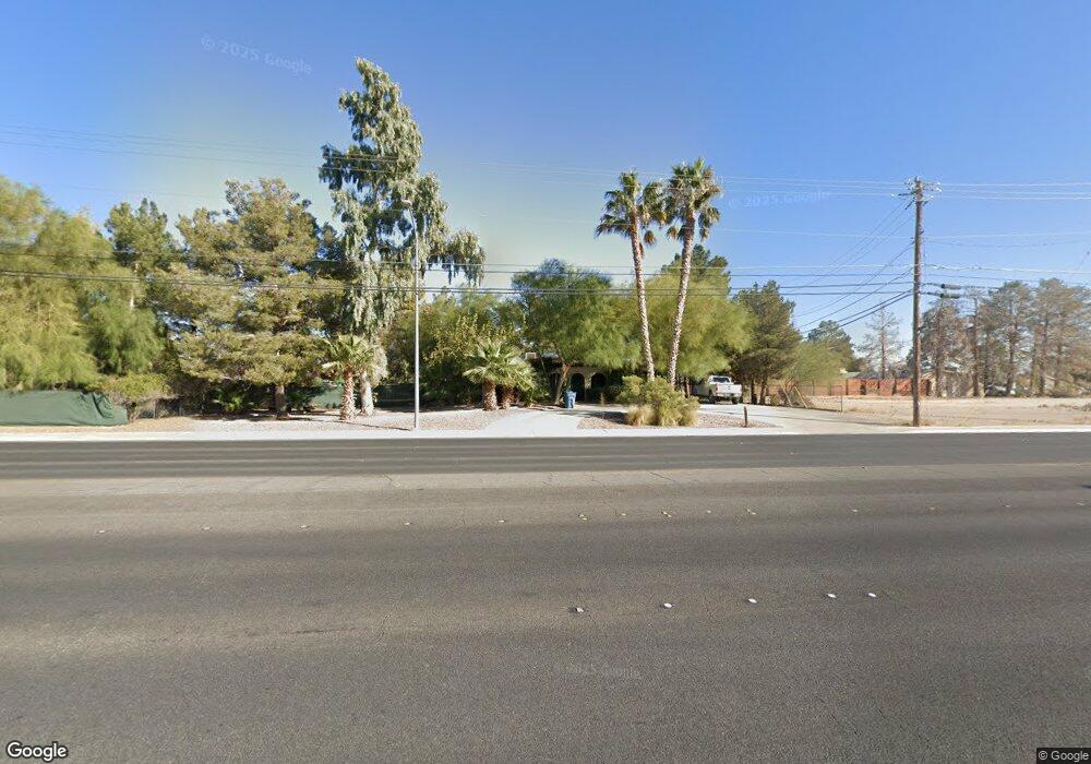
4216 N Decatur Blvd North Las Vegas, NV 89032
Cheyenne NeighborhoodEstimated Value: $456,000 - $643,000
3
Beds
2
Baths
1,440
Sq Ft
$358/Sq Ft
Est. Value
About This Home
This home is located at 4216 N Decatur Blvd, North Las Vegas, NV 89032 and is currently estimated at $514,905, approximately $357 per square foot. 4216 N Decatur Blvd is a home with nearby schools including Claude & Stella Parson Elementary School, Theron L Swainston Middle School, and Cheyenne High School.
Ownership History
Date
Name
Owned For
Owner Type
Purchase Details
Closed on
Sep 9, 1997
Sold by
Masters Orville L and Masters Deborah J
Bought by
Collins C W Tom and Collins Kathleen
Current Estimated Value
Home Financials for this Owner
Home Financials are based on the most recent Mortgage that was taken out on this home.
Original Mortgage
$120,000
Interest Rate
7.45%
Create a Home Valuation Report for This Property
The Home Valuation Report is an in-depth analysis detailing your home's value as well as a comparison with similar homes in the area
Home Values in the Area
Average Home Value in this Area
Purchase History
| Date | Buyer | Sale Price | Title Company |
|---|---|---|---|
| Collins C W Tom | $150,000 | First American Title Co |
Source: Public Records
Mortgage History
| Date | Status | Borrower | Loan Amount |
|---|---|---|---|
| Closed | Collins C W Tom | $120,000 |
Source: Public Records
Tax History Compared to Growth
Tax History
| Year | Tax Paid | Tax Assessment Tax Assessment Total Assessment is a certain percentage of the fair market value that is determined by local assessors to be the total taxable value of land and additions on the property. | Land | Improvement |
|---|---|---|---|---|
| 2025 | $1,325 | $89,122 | $67,200 | $21,922 |
| 2024 | $1,287 | $89,122 | $67,200 | $21,922 |
| 2023 | $1,287 | $87,560 | $65,625 | $21,935 |
| 2022 | $1,250 | $78,408 | $57,750 | $20,658 |
| 2021 | $1,213 | $73,226 | $53,025 | $20,201 |
| 2020 | $1,175 | $73,567 | $53,025 | $20,542 |
| 2019 | $1,141 | $65,938 | $45,150 | $20,788 |
| 2018 | $1,108 | $65,028 | $44,625 | $20,403 |
| 2017 | $1,853 | $55,230 | $34,125 | $21,105 |
| 2016 | $1,050 | $41,581 | $19,635 | $21,946 |
| 2015 | $1,047 | $30,247 | $13,090 | $17,157 |
| 2014 | $1,014 | $29,333 | $15,400 | $13,933 |
Source: Public Records
Map
Nearby Homes
- 4216 N Decatur Blvd
- 4508 W San Miguel Ave
- 4341 San Mateo St
- 5104 Brookmere Dr
- 3904 Six Gun Rd
- 4508 San Mateo St
- 5004 Camino Del Rancho
- 3816 Sunking St
- 4230 Valley Spruce Way
- 4108 Dove Creek Rd
- 4116 Villa Flora St
- 4335 Twin Peaks Dr
- 3830 Passionfruit St
- 4211 Bradley Rd
- 3804 Wren Ct
- 4115 Tatum Ct
- 4524 Denali Ave
- 5309 Camino Del Rancho
- 0 Hickam Ave
- 4800 Baffin Ct
- 4716 W San Miguel Ave
- 4633 Santa Monica Ave
- 4708 W San Miguel Ave
- 4301 San Diego St
- 4232 N Decatur Blvd
- 4222 N Decatur Blvd
- 4222 N Decatur Blvd
- 4236 N Decatur Blvd
- 4700 W San Miguel Ave
- 4200 N Decatur Blvd
- 4625 Santa Monica Ave
- 4309 San Diego St
- 4240 N Decatur Blvd
- 4717 W San Miguel Ave
- 4624 W San Miguel Ave
- 4709 W San Miguel Ave
- 4317 San Diego St
- 4701 W San Miguel Ave
- 4617 Santa Monica Ave
- 4616 W San Miguel Ave